Property Record
2653 Warfield St, Fort Worth, TX 76106


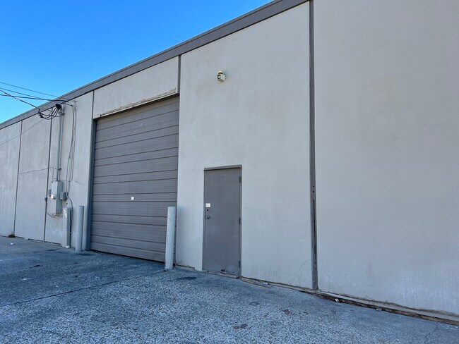
Property Detail
2653 Warfield St
Dallas-Fort Worth-Arlington, TX
TAYLOR & MCBRAYER SUBDIVISION LOT 8 THRU 10
03097358
TARRANT
Commercialnec
Texas
B and X Area of moderate flood hazard, usually the area between the limits of the 100-year and 500-year floods.
8-10
2025
0.53 AC
2025
N Central Ft Worth
100202
Dallas/Ft Worth
10,920 SF
NEARBY LISTINGS FOR SALE OR LEASE
DEMOGRAPHICS near 2653 Warfield St
1 mile
3 mile
5 mile
2025 Total Population
7,443
85,877
239,623
2030 Population
7,867
90,762
253,547
Pop Growth 2025-2030
+ 5.70%
+ 5.69%
+ 5.81%
Average Age
35
36
37
2025 Total Households
2,284
26,466
86,554
HH Growth 2025-2030
+ 6.13%
+ 6.26%
+ 6.20%
Median Household Inc
$58,309
$57,544
$63,432
Avg Household Size
3.10
3.00
2.60
2025 Avg HH Vehicles
2.00
2.00
2.00
Median Home Value
$253,353
$195,533
$248,291
Median Year Built
1958
1958
1977
Nearby Places
Map Layers
Map Styles
 Street
 Aerial
Layers
 Traffic
 Biking
Places
Listings with unknown addresses are not visible on the map
- Restaurants
- Banks
- Shops
- Fitness
- Groceries
PUBLIC TRANSPORTATION
COMMUTER RAIL
Drive
Walk
Distance
7 min
3.8 mi
Drive
Walk
Distance
7 min
3.8 mi
AIRPORT
Dallas-Fort Worth International
Drive
Walk
Distance
Dallas-Fort Worth International
33 min
24.5 mi
Dallas Love Field
Drive
Walk
Distance
Dallas Love Field
44 min
33.2 mi
SALE & LEASE HISTORY
LISTING DATE
SALE/LEASE

Sep 30, 2020
For Lease
Jan 22, 2024
For Lease
Feb 06, 2026
For Lease
Feb 03, 2022
For Lease
Nearby Properties
Address
Land Use
TOTAL SIZE
Lot Size
Zoning
Address
Land Use
TOTAL SIZE
Lot Size
Zoning
133,700 SF
6.29 AC
Address
Land Use
TOTAL SIZE
Lot Size
Zoning
1,009,233 SF
0.92 AC
Address
Land Use
TOTAL SIZE
Lot Size
Zoning
773,033 SF
2.11 AC
Address
Land Use
TOTAL SIZE
Lot Size
Zoning
551,198 SF
3.12 AC
Address
Land Use
TOTAL SIZE
Lot Size
Zoning
884,928 SF
1.01 AC
Address
Land Use
TOTAL SIZE
Lot Size
Zoning
205,807 SF
3.19 AC
Address
Land Use
TOTAL SIZE
Lot Size
Zoning
764,691 SF
0.92 AC
Address
Land Use
TOTAL SIZE
Lot Size
Zoning
1,719,136 SF
18.18 AC
Address
Land Use
TOTAL SIZE
Lot Size
Zoning
586,500 SF
159.54 AC
Address
Land Use
TOTAL SIZE
Lot Size
Zoning
750,215 SF
0.69 AC
Address
Land Use
TOTAL SIZE
Lot Size
Zoning
419,815 SF
10.26 AC
Address
Land Use
TOTAL SIZE
Lot Size
Zoning
1,009,800 SF
49.98 AC
Address
Land Use
TOTAL SIZE
Lot Size
Zoning
363,192 SF
2.62 AC
Address
Land Use
TOTAL SIZE
Lot Size
Zoning
699,246 SF
40.69 AC
Address
Land Use
TOTAL SIZE
Lot Size
Zoning
442,989 SF
7.15 AC
Address
Land Use
TOTAL SIZE
Lot Size
Zoning
810,978 SF
45.84 AC
Address
Land Use
TOTAL SIZE
Lot Size
Zoning
275,486 SF
9.12 AC
Address
Land Use
TOTAL SIZE
Lot Size
Zoning
257,308 SF
8.13 AC
Address
Land Use
TOTAL SIZE
Lot Size
Zoning
192,500 SF
0.92 AC
Address
Land Use
TOTAL SIZE
Lot Size
Zoning
334,061 SF
0.69 AC
Address
Land Use
TOTAL SIZE
Lot Size
Zoning
240,000 SF
0.16 AC
Address
Land Use
TOTAL SIZE
Lot Size
Zoning
308,407 SF
4.95 AC
Address
Land Use
TOTAL SIZE
Lot Size
Zoning
248,292 SF
1.01 AC
Address
Land Use
TOTAL SIZE
Lot Size
Zoning
697,140 SF
37.84 AC
Address
Land Use
TOTAL SIZE
Lot Size
Zoning
287,804 SF
1.86 AC
Address
Land Use
TOTAL SIZE
Lot Size
Zoning
459,030 SF
4.84 AC
Address
Land Use
TOTAL SIZE
Lot Size
Zoning
656,390 SF
33.33 AC
Address
Land Use
TOTAL SIZE
Lot Size
Zoning
252,000 SF
4.15 AC
Address
Land Use
TOTAL SIZE
Lot Size
Zoning
566,816 SF
32.79 AC
Address
Land Use
TOTAL SIZE
Lot Size
Zoning
239,040 SF
0.46 AC
The World's #1 Commercial Real Estate Marketplace
Connect with us
© 2026 CoStar Group
The information above has been obtained from sources believed reliable. While we do not doubt its accuracy we have not verified it and make no guarantee, warranty or representation about it. It is your responsibility to independently confirm its accuracy and completeness. Any projections, opinions, assumptions, or estimates used are for example only and do not represent the current or future performance of the property. The value of this transaction to you depends on tax and other factors which should be evaluated by your tax, financial, and legal advisors. You and your advisors should conduct a careful, independent investigation of the property to determine to your satisfaction the suitability of the property for your needs.