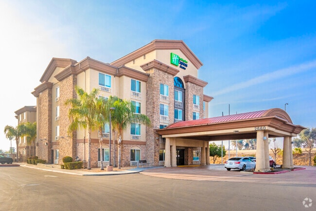
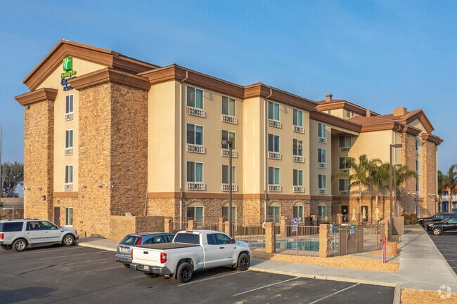
Property Record
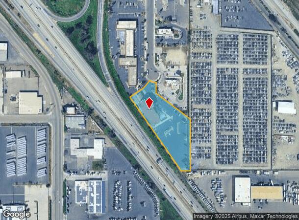
2660 S 2Nd St, Fresno, CA 93706
NEARBY LISTINGS FOR SALE OR LEASE
Property Detail
2660 S 2Nd St
487-050-86
Parcel Map 85 09
Motel
2.45 AC POR. PAR D P/M 85-09 BK 43 PG 86
X
Fresno
06019C2110H
California
2025
2.45 AC
2025
Fresno
001500
Fresno
48,009 SF
Fresno, CA
DEMOGRAPHICS near 2660 S 2Nd St
1 Mile
3 Mile
5 Mile
2024 Total Population
3,276
82,783
216,121
2029 Population
3,341
84,082
219,897
Pop Growth 2024-2029
+ 1.98%
+ 1.57%
+ 1.75%
Average Age
33
33
34
2024 Total Households
833
22,215
62,148
HH Growth 2024-2029
+ 1.92%
+ 1.65%
+ 1.78%
Median Household Inc
$46,250
$35,276
$41,987
Avg Household Size
3.80
3.40
3.30
2024 Avg HH Vehicles
2.00
2.00
2.00
Median Home Value
$151,904
$212,935
$245,417
Median Year Built
1963
1968
1966
Nearby Places
Map Layers
Map Styles
 Street
 Aerial
- Restaurants
- Banks
- Shops
- Fitness
- Groceries
PUBLIC TRANSPORTATION
COMMUTER RAIL
Fresno (San Joaquins - Amtrak)
DRIVE
WALK
Distance
Fresno (San Joaquins - Amtrak)
7 min
3.3 mi
AIRPORT
Fresno Yosemite International
DRIVE
WALK
Distance
Fresno Yosemite International
15 min
8.6 mi
Freight Ports
Port of Stockton
DRIVE
WALK
Distance
Port of Stockton
154 min
129.8 mi
Nearby Properties
Address
Land Use
TOTAL SIZE
Lot Size
Zoning
Address
Land Use
TOTAL SIZE
Lot Size
Zoning
855,000 SF
63.99 AC
IH
Address
Land Use
TOTAL SIZE
Lot Size
Zoning
660,486 SF
39.04 AC
M3
Address
Land Use
TOTAL SIZE
Lot Size
Zoning
226,597 SF
12.80 AC
M3
Address
Land Use
TOTAL SIZE
Lot Size
Zoning
534,993 SF
5.23 AC
CP
Address
Land Use
TOTAL SIZE
Lot Size
Zoning
0.01 AC
P
Address
Land Use
TOTAL SIZE
Lot Size
Zoning
288,597 SF
1.18 AC
C4
Address
Land Use
TOTAL SIZE
Lot Size
Zoning
147,101 SF
6.31 AC
SPLIT
Address
Land Use
TOTAL SIZE
Lot Size
Zoning
184,130 SF
1.87 AC
PI
Address
Land Use
TOTAL SIZE
Lot Size
Zoning
176,926 SF
9.79 AC
IH
Address
Land Use
TOTAL SIZE
Lot Size
Zoning
291,527 SF
28.85 AC
M3
Address
Land Use
TOTAL SIZE
Lot Size
Zoning
670,680 SF
30.16 AC
IH
Address
Land Use
TOTAL SIZE
Lot Size
Zoning
50,450 SF
16.84 AC
M3
Address
Land Use
TOTAL SIZE
Lot Size
Zoning
101,510 SF
3.37 AC
CM
Address
Land Use
TOTAL SIZE
Lot Size
Zoning
343,038 SF
19.54 AC
AE20
Address
Land Use
TOTAL SIZE
Lot Size
Zoning
193,440 SF
16.82 AC
Address
Land Use
TOTAL SIZE
Lot Size
Zoning
238,160 SF
18.77 AC
M3
Address
Land Use
TOTAL SIZE
Lot Size
Zoning
471,760 SF
1.98 AC
CP
Address
Land Use
TOTAL SIZE
Lot Size
Zoning
116,349 SF
16.56 AC
CP
Address
Land Use
TOTAL SIZE
Lot Size
Zoning
396,353 SF
34.78 AC
M3
Address
Land Use
TOTAL SIZE
Lot Size
Zoning
194,109 SF
19.42 AC
C3
Address
Land Use
TOTAL SIZE
Lot Size
Zoning
213,874 SF
4.17 AC
SPLIT
Address
Land Use
TOTAL SIZE
Lot Size
Zoning
511,500 SF
22.55 AC
M3
Address
Land Use
TOTAL SIZE
Lot Size
Zoning
206,766 SF
17.11 AC
R2
Address
Land Use
TOTAL SIZE
Lot Size
Zoning
259,852 SF
56.49 AC
AE20
Address
Land Use
TOTAL SIZE
Lot Size
Zoning
12,088 SF
23.62 AC
M3
Address
Land Use
TOTAL SIZE
Lot Size
Zoning
198,436 SF
20.85 AC
M3
Address
Land Use
TOTAL SIZE
Lot Size
Zoning
79,518 SF
2.03 AC
R4
Address
Land Use
TOTAL SIZE
Lot Size
Zoning
409,374 SF
24.73 AC
SPLIT
Address
Land Use
TOTAL SIZE
Lot Size
Zoning
480,570 SF
2.98 AC
P
The World's #1 Commercial Real Estate Marketplace
Connect with us
© 2025 CoStar Group
The information above has been obtained from sources believed reliable. While we do not doubt its accuracy we have not verified it and make no guarantee, warranty or representation about it. It is your responsibility to independently confirm its accuracy and completeness. Any projections, opinions, assumptions, or estimates used are for example only and do not represent the current or future performance of the property. The value of this transaction to you depends on tax and other factors which should be evaluated by your tax, financial, and legal advisors. You and your advisors should conduct a careful, independent investigation of the property to determine to your satisfaction the suitability of the property for your needs.