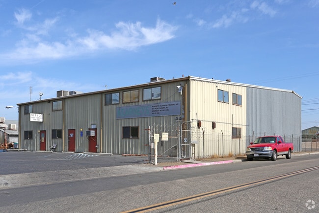
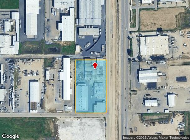
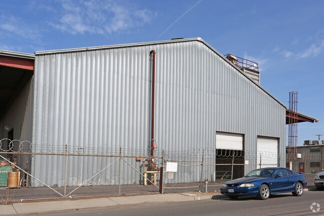
Property Record
2660 S Chestnut Ave, Fresno, CA 93725

Current Lease Availabilities
NEARBY LISTINGS FOR SALE OR LEASE
Property Detail
2660 S Chestnut Ave
Fresno, CA
Fresno Industrial Sites #1
487-070-11S
SUR RTS 3.78 AC IN LOT 1 FR IND SITES #1
Industrialgeneral
Fresno
X
California
06019C2130H
1
2025
3.79 AC
2025
Southeast Fresno
001500
Fresno
62,039 SF
DEMOGRAPHICS near 2660 S Chestnut Ave
1 Mile
3 Mile
5 Mile
2024 Total Population
9,493
79,892
208,358
2029 Population
9,610
81,397
212,358
Pop Growth 2024-2029
+ 1.23%
+ 1.88%
+ 1.92%
Average Age
33
34
34
2024 Total Households
2,392
21,754
58,138
HH Growth 2024-2029
+ 1.21%
+ 1.96%
+ 1.96%
Median Household Inc
$58,536
$49,628
$44,729
Avg Household Size
3.80
3.50
3.40
2024 Avg HH Vehicles
2.00
2.00
2.00
Median Home Value
$253,383
$263,988
$260,623
Median Year Built
1985
1976
1971
Nearby Places
- Restaurants
- Banks
- Shops
- Fitness
- Groceries
PUBLIC TRANSPORTATION
COMMUTER RAIL
Fresno (San Joaquins - Amtrak)
DRIVE
WALK
Distance
Fresno (San Joaquins - Amtrak)
9 min
5.0 mi
AIRPORT
Fresno Yosemite International
DRIVE
WALK
Distance
Fresno Yosemite International
11 min
5.7 mi
Freight Ports
Port of Stockton
DRIVE
WALK
Distance
Port of Stockton
156 min
131.5 mi
Nearby Properties
Address
Land Use
TOTAL SIZE
Lot Size
Zoning
Address
Land Use
TOTAL SIZE
Lot Size
Zoning
855,000 SF
63.99 AC
IH
Address
Land Use
TOTAL SIZE
Lot Size
Zoning
660,486 SF
39.04 AC
M3
Address
Land Use
TOTAL SIZE
Lot Size
Zoning
226,597 SF
12.80 AC
M3
Address
Land Use
TOTAL SIZE
Lot Size
Zoning
147,101 SF
6.31 AC
SPLIT
Address
Land Use
TOTAL SIZE
Lot Size
Zoning
176,926 SF
9.79 AC
IH
Address
Land Use
TOTAL SIZE
Lot Size
Zoning
732,149 SF
77.34 AC
M3
Address
Land Use
TOTAL SIZE
Lot Size
Zoning
291,527 SF
28.85 AC
M3
Address
Land Use
TOTAL SIZE
Lot Size
Zoning
670,680 SF
30.16 AC
IH
Address
Land Use
TOTAL SIZE
Lot Size
Zoning
50,450 SF
16.84 AC
M3
Address
Land Use
TOTAL SIZE
Lot Size
Zoning
343,038 SF
19.54 AC
AE20
Address
Land Use
TOTAL SIZE
Lot Size
Zoning
193,440 SF
16.82 AC
Address
Land Use
TOTAL SIZE
Lot Size
Zoning
238,160 SF
18.77 AC
M3
Address
Land Use
TOTAL SIZE
Lot Size
Zoning
116,349 SF
16.56 AC
CP
Address
Land Use
TOTAL SIZE
Lot Size
Zoning
396,353 SF
34.78 AC
M3
Address
Land Use
TOTAL SIZE
Lot Size
Zoning
194,109 SF
19.42 AC
C3
Address
Land Use
TOTAL SIZE
Lot Size
Zoning
175,310 SF
19.22 AC
CMX
Address
Land Use
TOTAL SIZE
Lot Size
Zoning
511,500 SF
22.55 AC
M3
Address
Land Use
TOTAL SIZE
Lot Size
Zoning
12,088 SF
23.62 AC
M3
Address
Land Use
TOTAL SIZE
Lot Size
Zoning
198,436 SF
20.85 AC
M3
Address
Land Use
TOTAL SIZE
Lot Size
Zoning
409,374 SF
24.73 AC
SPLIT
Address
Land Use
TOTAL SIZE
Lot Size
Zoning
54,526 SF
5.88 AC
M3
Address
Land Use
TOTAL SIZE
Lot Size
Zoning
314,915 SF
14.12 AC
M2
Address
Land Use
TOTAL SIZE
Lot Size
Zoning
569,220 SF
23.46 AC
SPLIT
Address
Land Use
TOTAL SIZE
Lot Size
Zoning
55,200 SF
14.94 AC
M3
Address
Land Use
TOTAL SIZE
Lot Size
Zoning
410,925 SF
18.77 AC
M3
Address
Land Use
TOTAL SIZE
Lot Size
Zoning
319,790 SF
41.15 AC
R1
Address
Land Use
TOTAL SIZE
Lot Size
Zoning
104,036 SF
6.73 AC
M3
Address
Land Use
TOTAL SIZE
Lot Size
Zoning
212,113 SF
13.21 AC
R3
Address
Land Use
TOTAL SIZE
Lot Size
Zoning
119,914 SF
4.50 AC
CMX
The World's #1 Commercial Real Estate Marketplace
Connect with us
© 2025 CoStar Group
The information above has been obtained from sources believed reliable. While we do not doubt its accuracy we have not verified it and make no guarantee, warranty or representation about it. It is your responsibility to independently confirm its accuracy and completeness. Any projections, opinions, assumptions, or estimates used are for example only and do not represent the current or future performance of the property. The value of this transaction to you depends on tax and other factors which should be evaluated by your tax, financial, and legal advisors. You and your advisors should conduct a careful, independent investigation of the property to determine to your satisfaction the suitability of the property for your needs.