Property Record
26660 9Th St, Highland, CA 92346

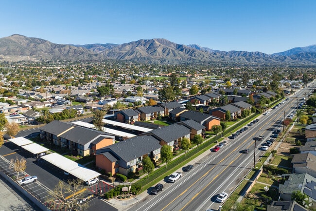
Property Detail
26660 9Th St
Riverside-San Bernardino-Ontario, CA
CUNN1NGHAM SUB S 1/2 LOT 17 4.7 AC
1192-371-03
San Bernardino
Apartment
California
B and X Area of moderate flood hazard, usually the area between the limits of the 100-year and 500-year floods.
17
2025
2.20 AC
2025
Cypress
007603
Inland Empire (California)
123,034 SF
NEARBY LISTINGS FOR SALE OR LEASE
DEMOGRAPHICS near 26660 9Th St
1 mile
3 mile
5 mile
2025 Total Population
21,662
105,617
256,352
2030 Population
21,969
107,290
260,121
Pop Growth 2025-2030
+ 1.42%
+ 1.58%
+ 1.47%
Average Age
34
36
36
2025 Total Households
6,132
30,692
78,430
HH Growth 2025-2030
+ 1.45%
+ 1.69%
+ 1.60%
Median Household Inc
$52,500
$65,901
$72,399
Avg Household Size
3.40
3.30
3.10
2025 Avg HH Vehicles
2.00
2.00
2.00
Median Home Value
$363,295
$429,346
$457,252
Median Year Built
1971
1974
1973
Nearby Places
Map Layers
Map Styles
 Street
 Aerial
Layers
 Traffic
 Biking
Places
Listings with unknown addresses are not visible on the map
- Restaurants
- Banks
- Shops
- Fitness
- Groceries
PUBLIC TRANSPORTATION
COMMUTER RAIL
San Bernardino - Tippecanoe Metrolink Station (Metrolink San Bernardino Line - Metrolink Trains)
Drive
Walk
Distance
San Bernardino - Tippecanoe Metrolink Station (Metrolink San Bernardino Line - Metrolink Trains)
9 min
4.9 mi
Redlands - Esri Metrolink Station (Metrolink San Bernardino Line - Metrolink Trains)
Drive
Walk
Distance
Redlands - Esri Metrolink Station (Metrolink San Bernardino Line - Metrolink Trains)
10 min
5.3 mi
AIRPORT
Ontario International
Drive
Walk
Distance
Ontario International
36 min
25.8 mi
Freight Ports
Port of Long Beach
Drive
Walk
Distance
Port of Long Beach
92 min
71.4 mi
Nearby Properties
Address
Land Use
TOTAL SIZE
Lot Size
Zoning
Address
Land Use
TOTAL SIZE
Lot Size
Zoning
2,134,798 SF
153.92 AC
Address
Land Use
TOTAL SIZE
Lot Size
Zoning
1,079,470 SF
46.39 AC
Address
Land Use
TOTAL SIZE
Lot Size
Zoning
1,079,236 SF
54.70 AC
EVIR
Address
Land Use
TOTAL SIZE
Lot Size
Zoning
708,500 SF
97.74 AC
Address
Land Use
TOTAL SIZE
Lot Size
Zoning
460,038 SF
22.70 AC
Address
Land Use
TOTAL SIZE
Lot Size
Zoning
589,602 SF
36.89 AC
Address
Land Use
TOTAL SIZE
Lot Size
Zoning
1,313,470 SF
60.31 AC
Address
Land Use
TOTAL SIZE
Lot Size
Zoning
497,664 SF
56.39 AC
Address
Land Use
TOTAL SIZE
Lot Size
Zoning
329,075 SF
10.93 AC
Address
Land Use
TOTAL SIZE
Lot Size
Zoning
1,139,976 SF
49.56 AC
Address
Land Use
TOTAL SIZE
Lot Size
Zoning
198,820 SF
10.84 AC
Address
Land Use
TOTAL SIZE
Lot Size
Zoning
614,292 SF
27.84 AC
Address
Land Use
TOTAL SIZE
Lot Size
Zoning
406,710 SF
20.10 AC
Address
Land Use
TOTAL SIZE
Lot Size
Zoning
784,280 SF
34.62 AC
EVSDCOM
Address
Land Use
TOTAL SIZE
Lot Size
Zoning
983,986 SF
47.60 AC
Address
Land Use
TOTAL SIZE
Lot Size
Zoning
606,450 SF
27.91 AC
EVSDCOM
Address
Land Use
TOTAL SIZE
Lot Size
Zoning
809,679 SF
37.19 AC
Address
Land Use
TOTAL SIZE
Lot Size
Zoning
1,205,400 SF
58.05 AC
Address
Land Use
TOTAL SIZE
Lot Size
Zoning
951,686 SF
47.90 AC
Address
Land Use
TOTAL SIZE
Lot Size
Zoning
777,580 SF
23.13 AC
Address
Land Use
TOTAL SIZE
Lot Size
Zoning
801,126 SF
36.03 AC
Address
Land Use
TOTAL SIZE
Lot Size
Zoning
683,406 SF
31.38 AC
Address
Land Use
TOTAL SIZE
Lot Size
Zoning
703,479 SF
33.53 AC
Address
Land Use
TOTAL SIZE
Lot Size
Zoning
593,615 SF
27.54 AC
EVCG
Address
Land Use
TOTAL SIZE
Lot Size
Zoning
542,519 SF
27.07 AC
Address
Land Use
TOTAL SIZE
Lot Size
Zoning
404,725 SF
19.29 AC
Address
Land Use
TOTAL SIZE
Lot Size
Zoning
178,926 SF
9.12 AC
IC
Address
Land Use
TOTAL SIZE
Lot Size
Zoning
425,285 SF
24.41 AC
Address
Land Use
TOTAL SIZE
Lot Size
Zoning
714,538 SF
56.66 AC
Address
Land Use
TOTAL SIZE
Lot Size
Zoning
699,350 SF
32.11 AC
The World's #1 Commercial Real Estate Marketplace
Connect with us
© 2026 CoStar Group
The information above has been obtained from sources believed reliable. While we do not doubt its accuracy we have not verified it and make no guarantee, warranty or representation about it. It is your responsibility to independently confirm its accuracy and completeness. Any projections, opinions, assumptions, or estimates used are for example only and do not represent the current or future performance of the property. The value of this transaction to you depends on tax and other factors which should be evaluated by your tax, financial, and legal advisors. You and your advisors should conduct a careful, independent investigation of the property to determine to your satisfaction the suitability of the property for your needs.