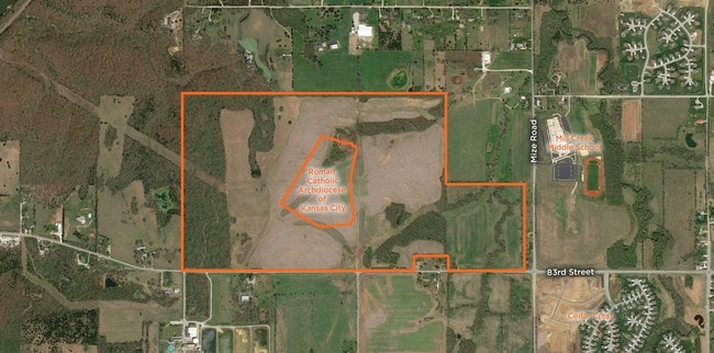
Property Record
26660 W Ns Nt St, Lenexa, KS 66227

NEARBY LISTINGS FOR SALE OR LEASE
Property Detail
26660 W Ns Nt St
IF231230-3001
0-12-23 NE1/4 EX 27.04069 AC LYG WITHIN SD EX 14.03 AC EX .478 AC EX 65 AC & EX 2.866 AC 50.58531 ACS M/L
Farms
Johnson
X
Kansas
20103C0425G
43.41 AC
2024
Northwest Johnson County
2024
Kansas City
052609
Kansas City, MO-KS
896 SF
DEMOGRAPHICS near 26660 W Ns Nt St
1 Mile
3 Mile
5 Mile
2024 Total Population
895
14,999
52,948
2029 Population
950
15,958
55,562
Pop Growth 2024-2029
+ 6.15%
+ 6.39%
+ 4.94%
Average Age
38
41
39
2024 Total Households
293
5,503
18,091
HH Growth 2024-2029
+ 6.14%
+ 6.49%
+ 5.08%
Median Household Inc
$119,530
$126,160
$138,194
Avg Household Size
2.90
2.70
2.90
2024 Avg HH Vehicles
2.00
2.00
2.00
Median Home Value
$433,333
$421,439
$415,059
Median Year Built
2007
2006
2003
Nearby Places
Map Layers
Map Styles
 Street
 Aerial
- Restaurants
- Banks
- Shops
- Fitness
- Groceries
PUBLIC TRANSPORTATION
AIRPORT
Kansas City International
DRIVE
WALK
Distance
Kansas City International
51 min
37.7 mi
Freight Ports
Tulsa Port Of Catoosa
DRIVE
WALK
Distance
Tulsa Port Of Catoosa
269 min
236.6 mi
SALE & LEASE HISTORY
LISTING DATE
SALE/LEASE

Mar 26, 2019
For Sale
Nearby Properties
Address
Land Use
TOTAL SIZE
Lot Size
Zoning
Address
Land Use
TOTAL SIZE
Lot Size
Zoning
163,515 SF
70.39 AC
R1
Address
Land Use
TOTAL SIZE
Lot Size
Zoning
106,283 SF
11.79 AC
R1
Address
Land Use
TOTAL SIZE
Lot Size
Zoning
91,639 SF
19.51 AC
R1
Address
Land Use
TOTAL SIZE
Lot Size
Zoning
69,675 SF
11.85 AC
R1
Address
Land Use
TOTAL SIZE
Lot Size
Zoning
67,336 SF
26.85 AC
AG
Address
Land Use
TOTAL SIZE
Lot Size
Zoning
99,600 SF
7.77 AC
PI
Address
Land Use
TOTAL SIZE
Lot Size
Zoning
75,626 SF
17.48 AC
AG
Address
Land Use
TOTAL SIZE
Lot Size
Zoning
74,420 SF
20.04 AC
AG
Address
Land Use
TOTAL SIZE
Lot Size
Zoning
30,751 SF
9.73 AC
R1
Address
Land Use
TOTAL SIZE
Lot Size
Zoning
39,668 SF
6.02 AC
Address
Land Use
TOTAL SIZE
Lot Size
Zoning
24,478 SF
3.10 AC
R1
Address
Land Use
TOTAL SIZE
Lot Size
Zoning
20,832 SF
19.85 AC
AG
Address
Land Use
TOTAL SIZE
Lot Size
Zoning
13,500 SF
10.92 AC
R1
Address
Land Use
TOTAL SIZE
Lot Size
Zoning
16,078 SF
19.48 AC
PUDMR
Address
Land Use
TOTAL SIZE
Lot Size
Zoning
600 SF
91.25 AC
RUR
Address
Land Use
TOTAL SIZE
Lot Size
Zoning
85,059 SF
17.52 AC
RP2
Address
Land Use
TOTAL SIZE
Lot Size
Zoning
46,326 SF
4.01 AC
PI
Address
Land Use
TOTAL SIZE
Lot Size
Zoning
241,418 SF
21.42 AC
PI
Address
Land Use
TOTAL SIZE
Lot Size
Zoning
83.09 AC
AG
Address
Land Use
TOTAL SIZE
Lot Size
Zoning
11,519 SF
5.02 AC
PI
Address
Land Use
TOTAL SIZE
Lot Size
Zoning
73,218 SF
4.78 AC
PUDOC
Address
Land Use
TOTAL SIZE
Lot Size
Zoning
223,200 SF
14.86 AC
PI
Address
Land Use
TOTAL SIZE
Lot Size
Zoning
234,997 SF
42.47 AC
PI
Address
Land Use
TOTAL SIZE
Lot Size
Zoning
11.94 AC
R1
Address
Land Use
TOTAL SIZE
Lot Size
Zoning
102,521 SF
10.45 AC
PI
Address
Land Use
TOTAL SIZE
Lot Size
Zoning
20,998 SF
5.19 AC
AG
Address
Land Use
TOTAL SIZE
Lot Size
Zoning
28,000 SF
4.47 AC
PI
Address
Land Use
TOTAL SIZE
Lot Size
Zoning
9.01 AC
R1
Address
Land Use
TOTAL SIZE
Lot Size
Zoning
129,425 SF
11.54 AC
PI
Address
Land Use
TOTAL SIZE
Lot Size
Zoning
87,236 SF
6.92 AC
AG
The World's #1 Commercial Real Estate Marketplace
Connect with us
© 2025 CoStar Group
The information above has been obtained from sources believed reliable. While we do not doubt its accuracy we have not verified it and make no guarantee, warranty or representation about it. It is your responsibility to independently confirm its accuracy and completeness. Any projections, opinions, assumptions, or estimates used are for example only and do not represent the current or future performance of the property. The value of this transaction to you depends on tax and other factors which should be evaluated by your tax, financial, and legal advisors. You and your advisors should conduct a careful, independent investigation of the property to determine to your satisfaction the suitability of the property for your needs.