Property Record
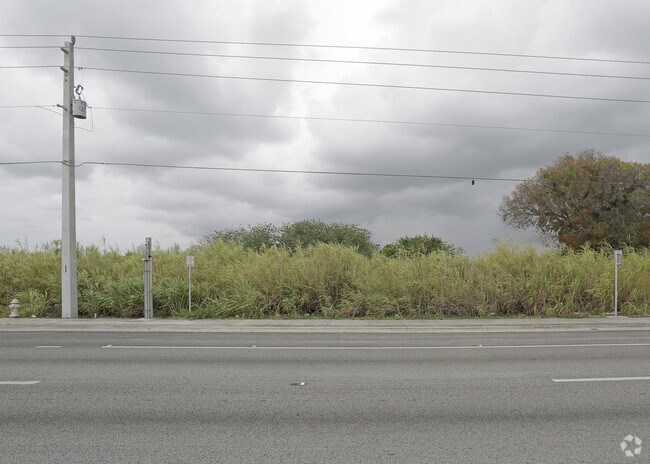
26828 S Dixie Hwy, Homestead, FL 33032


NEARBY LISTINGS FOR SALE OR LEASE
Property Detail
26828 S Dixie Hwy
Miami-Miami Beach-Kendall, FL
Acreage
30-6934-000-0220
34 56 39 .23 AC BEG SW COR OF NW1/4 OF NW1/4 S 203.41FT TO R/W U S 1 NE194.38FT NWLY111.38FT W TO POB PER DB 874 -193 LOT SIZE IRREGULAR OR 10999-1765 0181 1 COC 21434-3441 07 2003 2
Vacantlandnec
Miami/Dade
AH
Florida
12086C0593L
0.43 AC
2024
South Dade
2025
South Florida
010708
DEMOGRAPHICS near 26828 S Dixie Hwy
1 Mile
3 Mile
5 Mile
2024 Total Population
16,473
90,608
197,354
2029 Population
16,254
89,106
194,182
Pop Growth 2024-2029
(1.33%)
(1.66%)
(1.61%)
Average Age
35
36
36
2024 Total Households
5,263
26,630
58,048
HH Growth 2024-2029
(1.82%)
(2.08%)
(2.05%)
Median Household Inc
$50,747
$57,753
$60,605
Avg Household Size
3.10
3.30
3.30
2024 Avg HH Vehicles
2.00
2.00
2.00
Median Home Value
$321,841
$309,108
$322,611
Median Year Built
2005
2000
1999
Nearby Places
Map Layers
Map Styles
 Street
 Aerial
- Restaurants
- Banks
- Shops
- Fitness
- Groceries
PUBLIC TRANSPORTATION
AIRPORT
Miami International
DRIVE
WALK
Distance
Miami International
40 min
25.6 mi
Freight Ports
Port of Miami
DRIVE
WALK
Distance
Port of Miami
50 min
32.6 mi
Nearby Properties
Address
Land Use
TOTAL SIZE
Lot Size
Zoning
Address
Land Use
TOTAL SIZE
Lot Size
Zoning
487,531 SF
60 AC
9300
Address
Land Use
TOTAL SIZE
Lot Size
Zoning
1,348,296 SF
76.88 AC
7600
Address
Land Use
TOTAL SIZE
Lot Size
Zoning
289,905 SF
29.74 AC
6500
Address
Land Use
TOTAL SIZE
Lot Size
Zoning
321,122 SF
7.31 AC
3161
Address
Land Use
TOTAL SIZE
Lot Size
Zoning
255,576 SF
8.77 AC
6051
Address
Land Use
TOTAL SIZE
Lot Size
Zoning
452,003 SF
10.85 AC
3161
Address
Land Use
TOTAL SIZE
Lot Size
Zoning
313,656 SF
10.71 AC
3900
Address
Land Use
TOTAL SIZE
Lot Size
Zoning
1 SF
20.93 AC
9000
Address
Land Use
TOTAL SIZE
Lot Size
Zoning
180,872 SF
5.85 AC
6262
Address
Land Use
TOTAL SIZE
Lot Size
Zoning
218,945 SF
7.92 AC
7061
Address
Land Use
TOTAL SIZE
Lot Size
Zoning
253,088 SF
2.90 AC
6072
Address
Land Use
TOTAL SIZE
Lot Size
Zoning
225,691 SF
8.22 AC
3900
Address
Land Use
TOTAL SIZE
Lot Size
Zoning
228,908 SF
65.07 AC
3050
Address
Land Use
TOTAL SIZE
Lot Size
Zoning
141,386 SF
9.62 AC
9000
Address
Land Use
TOTAL SIZE
Lot Size
Zoning
183,940 SF
4.80 AC
3050
Address
Land Use
TOTAL SIZE
Lot Size
Zoning
280,512 SF
44.85 AC
7600
Address
Land Use
TOTAL SIZE
Lot Size
Zoning
11,341 SF
212.73 AC
0100
Address
Land Use
TOTAL SIZE
Lot Size
Zoning
302,577 SF
8.04 AC
3050
Address
Land Use
TOTAL SIZE
Lot Size
Zoning
232,810 SF
24.61 AC
3800
Address
Land Use
TOTAL SIZE
Lot Size
Zoning
165,300 SF
10 AC
3050
Address
Land Use
TOTAL SIZE
Lot Size
Zoning
183,633 SF
3.78 AC
3802
Address
Land Use
TOTAL SIZE
Lot Size
Zoning
375,167 SF
22.77 AC
6061
Address
Land Use
TOTAL SIZE
Lot Size
Zoning
199,350 SF
3.75 AC
3161
Address
Land Use
TOTAL SIZE
Lot Size
Zoning
179,608 SF
8.06 AC
9300
Address
Land Use
TOTAL SIZE
Lot Size
Zoning
144,931 SF
10.69 AC
6200
Address
Land Use
TOTAL SIZE
Lot Size
Zoning
119,534 SF
8.55 AC
6200
Address
Land Use
TOTAL SIZE
Lot Size
Zoning
38.67 AC
3700
Address
Land Use
TOTAL SIZE
Lot Size
Zoning
1 SF
365.68 AC
9000
Address
Land Use
TOTAL SIZE
Lot Size
Zoning
159,298 SF
4.93 AC
5300
Address
Land Use
TOTAL SIZE
Lot Size
Zoning
185,907 SF
57.94 AC
3100
The World's #1 Commercial Real Estate Marketplace
Connect with us
© 2025 CoStar Group
The information above has been obtained from sources believed reliable. While we do not doubt its accuracy we have not verified it and make no guarantee, warranty or representation about it. It is your responsibility to independently confirm its accuracy and completeness. Any projections, opinions, assumptions, or estimates used are for example only and do not represent the current or future performance of the property. The value of this transaction to you depends on tax and other factors which should be evaluated by your tax, financial, and legal advisors. You and your advisors should conduct a careful, independent investigation of the property to determine to your satisfaction the suitability of the property for your needs.