Property Record
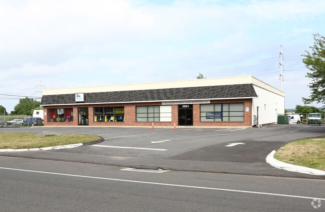
2691 State St, Hamden, CT 06517


Property Detail
2691 State St
HAMD-002331-000268
South Central Ct
Commercialbuilding
Connecticut
T4
0000
AE The base floodplain where base flood elevations are provided. AE Zones are now used on new format FIRMs instead of A1-A30 Zones.
1.50 AC
2024
Hamden
2025
Westchester/So Connecticut
165100
New Haven, CT
10,000 SF
NEARBY LISTINGS FOR SALE OR LEASE
DEMOGRAPHICS near 2691 State St
1 mile
3 mile
5 mile
2025 Total Population
4,610
97,344
223,840
2030 Population
4,659
97,988
225,618
Pop Growth 2025-2030
+ 1.06%
+ 0.66%
+ 0.79%
Average Age
44
40
39
2025 Total Households
1,855
40,707
88,079
HH Growth 2025-2030
+ 1.02%
+ 0.92%
+ 0.97%
Median Household Inc
$96,475
$72,396
$67,459
Avg Household Size
2.40
2.30
2.30
2025 Avg HH Vehicles
2.00
1.00
1.00
Median Home Value
$373,198
$301,117
$311,303
Median Year Built
1953
1960
1959
Nearby Places
Map Layers
Map Styles
 Street
 Aerial
Transit
 Traffic
 Biking
Places
Listings with unknown addresses are not visible on the map
- Restaurants
- Banks
- Shops
- Fitness
- Groceries
PUBLIC TRANSPORTATION
COMMUTER RAIL
New Haven-State Street Station (New Haven Line - Metro-North Commuter Railroad Company (Metro-North))
Drive
Walk
Distance
New Haven-State Street Station (New Haven Line - Metro-North Commuter Railroad Company (Metro-North))
8 min
4.3 mi
Drive
Walk
Distance
9 min
5.0 mi
AIRPORT
Tweed/New Haven
Drive
Walk
Distance
Tweed/New Haven
16 min
6.8 mi
Freight Ports
Port of New Haven
Drive
Walk
Distance
Port of New Haven
11 min
5.5 mi
SALE & LEASE HISTORY
LISTING DATE
SALE/LEASE

Jan 09, 2019
For Lease
Feb 16, 2018
For Lease
Nearby Properties
Address
Land Use
TOTAL SIZE
Lot Size
Zoning
Address
Land Use
TOTAL SIZE
Lot Size
Zoning
268,989 SF
22.59 AC
R20
Address
Land Use
TOTAL SIZE
Lot Size
Zoning
33,122 SF
23.06 AC
T4
Address
Land Use
TOTAL SIZE
Lot Size
Zoning
258,313 SF
23.50 AC
PDU 34
Address
Land Use
TOTAL SIZE
Lot Size
Zoning
28,824 SF
44.93 AC
T4
Address
Land Use
TOTAL SIZE
Lot Size
Zoning
15.32 AC
T4
Address
Land Use
TOTAL SIZE
Lot Size
Zoning
0.01 AC
T5
Address
Land Use
TOTAL SIZE
Lot Size
Zoning
78,878 SF
3.12 AC
RM2
Address
Land Use
TOTAL SIZE
Lot Size
Zoning
7,345 SF
3.09 AC
IL/RM2
Address
Land Use
TOTAL SIZE
Lot Size
Zoning
296,444 SF
23.30 AC
T145
Address
Land Use
TOTAL SIZE
Lot Size
Zoning
72,007 SF
1.79 AC
RS2
Address
Land Use
TOTAL SIZE
Lot Size
Zoning
66.68 AC
IG80
Address
Land Use
TOTAL SIZE
Lot Size
Zoning
14.84 AC
T4
Address
Land Use
TOTAL SIZE
Lot Size
Zoning
30.46 AC
T5
Address
Land Use
TOTAL SIZE
Lot Size
Zoning
106,266 SF
5.51 AC
RM2
Address
Land Use
TOTAL SIZE
Lot Size
Zoning
60,374 SF
10.85 AC
T2
Address
Land Use
TOTAL SIZE
Lot Size
Zoning
78,579 SF
6.07 AC
RM2
Address
Land Use
TOTAL SIZE
Lot Size
Zoning
143,428 SF
13.08 AC
T4
Address
Land Use
TOTAL SIZE
Lot Size
Zoning
116.04 AC
R3
Address
Land Use
TOTAL SIZE
Lot Size
Zoning
126,430 SF
10.63 AC
RM1
Address
Land Use
TOTAL SIZE
Lot Size
Zoning
31.34 AC
IL30
Address
Land Use
TOTAL SIZE
Lot Size
Zoning
17.71 AC
IL80
Address
Land Use
TOTAL SIZE
Lot Size
Zoning
18.85 AC
T5
Address
Land Use
TOTAL SIZE
Lot Size
Zoning
25,015 SF
28.30 AC
RS2
Address
Land Use
TOTAL SIZE
Lot Size
Zoning
81,010 SF
4.82 AC
RM2
Address
Land Use
TOTAL SIZE
Lot Size
Zoning
57,467 SF
3.72 AC
T4
Address
Land Use
TOTAL SIZE
Lot Size
Zoning
134,029 SF
27.54 AC
R20
Address
Land Use
TOTAL SIZE
Lot Size
Zoning
97,057 SF
2.78 AC
RM2
Address
Land Use
TOTAL SIZE
Lot Size
Zoning
23.48 AC
T5
Address
Land Use
TOTAL SIZE
Lot Size
Zoning
10.91 AC
R5
Address
Land Use
TOTAL SIZE
Lot Size
Zoning
10.77 AC
R5
The World's #1 Commercial Real Estate Marketplace
Connect with us
© 2026 CoStar Group
The information above has been obtained from sources believed reliable. While we do not doubt its accuracy we have not verified it and make no guarantee, warranty or representation about it. It is your responsibility to independently confirm its accuracy and completeness. Any projections, opinions, assumptions, or estimates used are for example only and do not represent the current or future performance of the property. The value of this transaction to you depends on tax and other factors which should be evaluated by your tax, financial, and legal advisors. You and your advisors should conduct a careful, independent investigation of the property to determine to your satisfaction the suitability of the property for your needs.