Property Record
270 E Lancer Dr, Nicholasville, KY 40356
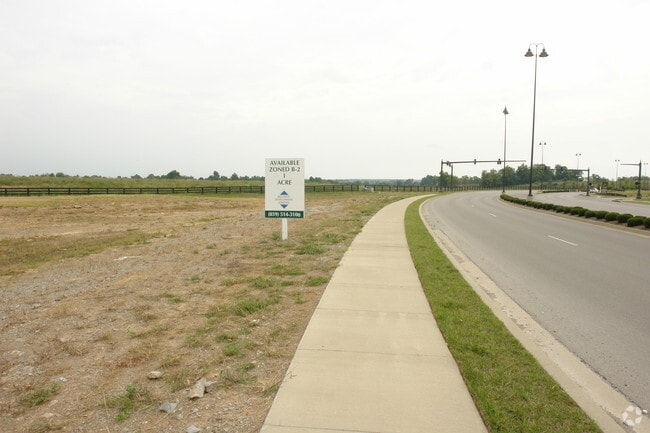

Property Detail
270 E Lancer Dr
Lexington-Fayette, KY
16A-R
067-00-00-001.29
JESSAMINE
Multipleuses
Kentucky
B and X Area of moderate flood hazard, usually the area between the limits of the 100-year and 500-year floods.
16a-r
2025
11 AC
2025
Jessamine County
060200
Lexington/Fayette
NEARBY LISTINGS FOR SALE OR LEASE
DEMOGRAPHICS near 270 E Lancer Dr
1 mile
3 mile
5 mile
2025 Total Population
5,106
64,537
149,053
2030 Population
5,377
66,586
153,668
Pop Growth 2025-2030
+ 5.31%
+ 3.17%
+ 3.10%
Average Age
42
39
40
2025 Total Households
1,964
27,699
63,445
HH Growth 2025-2030
+ 5.55%
+ 3.39%
+ 3.25%
Median Household Inc
$101,332
$73,054
$76,072
Avg Household Size
2.60
2.30
2.30
2025 Avg HH Vehicles
2.00
2.00
2.00
Median Home Value
$347,406
$300,347
$316,709
Median Year Built
1997
1989
1983
Nearby Places
Map Layers
Map Styles
 Street
 Aerial
Transit
 Traffic
 Biking
Places
Listings with unknown addresses are not visible on the map
- Restaurants
- Banks
- Shops
- Fitness
- Groceries
PUBLIC TRANSPORTATION
AIRPORT
Blue Grass
Drive
Walk
Distance
Blue Grass
21 min
11.6 mi
Nearby Properties
Address
Land Use
TOTAL SIZE
Lot Size
Zoning
Address
Land Use
TOTAL SIZE
Lot Size
Zoning
318,370 SF
17.79 AC
B-6P
Address
Land Use
TOTAL SIZE
Lot Size
Zoning
4,299 SF
18.43 AC
R-4
Address
Land Use
TOTAL SIZE
Lot Size
Zoning
8,001 SF
32.59 AC
MU-3
Address
Land Use
TOTAL SIZE
Lot Size
Zoning
144,866 SF
14.83 AC
B-6P
Address
Land Use
TOTAL SIZE
Lot Size
Zoning
238,393 SF
9.83 AC
B-6P
Address
Land Use
TOTAL SIZE
Lot Size
Zoning
5,650 SF
22.46 AC
R-3
Address
Land Use
TOTAL SIZE
Lot Size
Zoning
22.10 AC
R-3
Address
Land Use
TOTAL SIZE
Lot Size
Zoning
12,767 SF
14.39 AC
R-3
Address
Land Use
TOTAL SIZE
Lot Size
Zoning
41,040 SF
14.77 AC
R-4
Address
Land Use
TOTAL SIZE
Lot Size
Zoning
184,756 SF
4.43 AC
MU-3
Address
Land Use
TOTAL SIZE
Lot Size
Zoning
91,484 SF
14.72 AC
B-6P
Address
Land Use
TOTAL SIZE
Lot Size
Zoning
7,402 SF
18.83 AC
R-4
Address
Land Use
TOTAL SIZE
Lot Size
Zoning
41,132 SF
19 AC
Address
Land Use
TOTAL SIZE
Lot Size
Zoning
137,905 SF
23.79 AC
B-6P
Address
Land Use
TOTAL SIZE
Lot Size
Zoning
6.25 AC
A-U
Address
Land Use
TOTAL SIZE
Lot Size
Zoning
222,168 SF
26.49 AC
B-6P
Address
Land Use
TOTAL SIZE
Lot Size
Zoning
160,800 SF
74.22 AC
R-1C
Address
Land Use
TOTAL SIZE
Lot Size
Zoning
14,928 SF
8.75 AC
R-3
Address
Land Use
TOTAL SIZE
Lot Size
Zoning
156,350 SF
18.83 AC
B-6P
Address
Land Use
TOTAL SIZE
Lot Size
Zoning
219,320 SF
8.35 AC
R-4
Address
Land Use
TOTAL SIZE
Lot Size
Zoning
4,992 SF
32.12 AC
Address
Land Use
TOTAL SIZE
Lot Size
Zoning
93,675 SF
10.32 AC
A-U
Address
Land Use
TOTAL SIZE
Lot Size
Zoning
2,316 SF
15.05 AC
R-4
Address
Land Use
TOTAL SIZE
Lot Size
Zoning
4,452 SF
20.28 AC
R-4
Address
Land Use
TOTAL SIZE
Lot Size
Zoning
88,276 SF
10.97 AC
A-U
Address
Land Use
TOTAL SIZE
Lot Size
Zoning
12,484 SF
18.34 AC
R-4
Address
Land Use
TOTAL SIZE
Lot Size
Zoning
145,547 SF
12.75 AC
R-4
Address
Land Use
TOTAL SIZE
Lot Size
Zoning
118,794 SF
16.05 AC
B-6P
Address
Land Use
TOTAL SIZE
Lot Size
Zoning
2,760 SF
11.05 AC
R-3
Address
Land Use
TOTAL SIZE
Lot Size
Zoning
21,552 SF
15.73 AC
R-3
The World's #1 Commercial Real Estate Marketplace
Connect with us
© 2026 CoStar Group
The information above has been obtained from sources believed reliable. While we do not doubt its accuracy we have not verified it and make no guarantee, warranty or representation about it. It is your responsibility to independently confirm its accuracy and completeness. Any projections, opinions, assumptions, or estimates used are for example only and do not represent the current or future performance of the property. The value of this transaction to you depends on tax and other factors which should be evaluated by your tax, financial, and legal advisors. You and your advisors should conduct a careful, independent investigation of the property to determine to your satisfaction the suitability of the property for your needs.