Property Record
270 Dahlia St, Pahrump, NV 89048
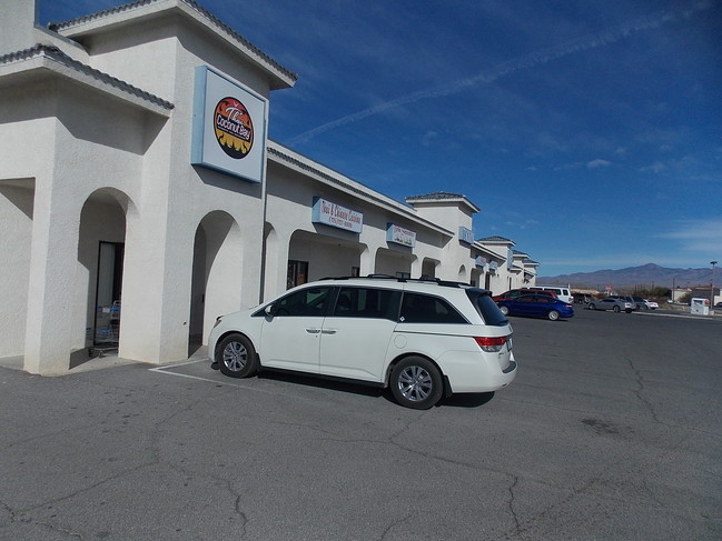

This Property Is For Sale
NEARBY LISTINGS FOR SALE OR LEASE
Property Detail
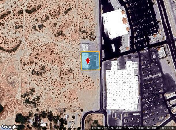
270 Dahlia St
Pahrump, NV
Calvada Valley U.11
38-214-19
T20S R53E S14 F#490514 L.1 .92AC CALVADA VALLEY U.11
Commercialnec
Nye
X
Nevada
32023C8850F
1
2024
0.92 AC
2025
Carson City/Nevada Area
960414
Other Market Areas
10,400 SF
DEMOGRAPHICS near 270 Dahlia St
1 Mile
3 Mile
5 Mile
2024 Total Population
1,520
14,239
29,013
2029 Population
1,779
16,593
33,658
Pop Growth 2024-2029
+ 17.04%
+ 16.53%
+ 16.01%
Average Age
50
48
49
2024 Total Households
733
6,209
12,195
HH Growth 2024-2029
+ 17.19%
+ 16.77%
+ 16.22%
Median Household Inc
$44,572
$47,192
$53,764
Avg Household Size
2.00
2.20
2.30
2024 Avg HH Vehicles
2.00
2.00
2.00
Median Home Value
$185,534
$232,770
$253,831
Median Year Built
2001
1996
1997
Nearby Places
Map Layers
Map Styles
 Street
 Aerial
- Restaurants
- Banks
- Shops
- Fitness
- Groceries
Nearby Properties
Address
Land Use
TOTAL SIZE
Lot Size
Zoning
Address
Land Use
TOTAL SIZE
Lot Size
Zoning
191,653 SF
118.11 AC
CF
Address
Land Use
TOTAL SIZE
Lot Size
Zoning
133,185 SF
41.60 AC
CF
Address
Land Use
TOTAL SIZE
Lot Size
Zoning
76,885 SF
12.53 AC
LI
Address
Land Use
TOTAL SIZE
Lot Size
Zoning
63,853 SF
8.09 AC
GC
Address
Land Use
TOTAL SIZE
Lot Size
Zoning
51,128 SF
24.15 AC
M
Address
Land Use
TOTAL SIZE
Lot Size
Zoning
57,213 SF
6.88 AC
GC
Address
Land Use
TOTAL SIZE
Lot Size
Zoning
156,375 SF
13.60 AC
GC
Address
Land Use
TOTAL SIZE
Lot Size
Zoning
106,309 SF
12.24 AC
GC
Address
Land Use
TOTAL SIZE
Lot Size
Zoning
62,606 SF
1.61 AC
GC
Address
Land Use
TOTAL SIZE
Lot Size
Zoning
77,352 SF
3.17 AC
GC
Address
Land Use
TOTAL SIZE
Lot Size
Zoning
62,279 SF
7.09 AC
GC
Address
Land Use
TOTAL SIZE
Lot Size
Zoning
56,409 SF
5.44 AC
GC
Address
Land Use
TOTAL SIZE
Lot Size
Zoning
6.91 AC
LI
Address
Land Use
TOTAL SIZE
Lot Size
Zoning
4,909 SF
22.10 AC
GC
Address
Land Use
TOTAL SIZE
Lot Size
Zoning
10 SF
2.14 AC
OS
Address
Land Use
TOTAL SIZE
Lot Size
Zoning
0.50 AC
VR-20
Address
Land Use
TOTAL SIZE
Lot Size
Zoning
39,900 SF
6.24 AC
GC
Address
Land Use
TOTAL SIZE
Lot Size
Zoning
12,000 SF
9.54 AC
CF
Address
Land Use
TOTAL SIZE
Lot Size
Zoning
38,606 SF
10 AC
CF
Address
Land Use
TOTAL SIZE
Lot Size
Zoning
37,163 SF
3.66 AC
GC
Address
Land Use
TOTAL SIZE
Lot Size
Zoning
16,466 SF
2.15 AC
GC
Address
Land Use
TOTAL SIZE
Lot Size
Zoning
33,120 SF
3.13 AC
GC
Address
Land Use
TOTAL SIZE
Lot Size
Zoning
560 SF
5.30 AC
LI
Address
Land Use
TOTAL SIZE
Lot Size
Zoning
33,199 SF
4.40 AC
Address
Land Use
TOTAL SIZE
Lot Size
Zoning
10,280 SF
6.73 AC
Address
Land Use
TOTAL SIZE
Lot Size
Zoning
20,053 SF
4.61 AC
CF
Address
Land Use
TOTAL SIZE
Lot Size
Zoning
10,282 SF
34.27 AC
OS
Address
Land Use
TOTAL SIZE
Lot Size
Zoning
10,733 SF
33.04 AC
TC
Address
Land Use
TOTAL SIZE
Lot Size
Zoning
13,885 SF
2.01 AC
M
Address
Land Use
TOTAL SIZE
Lot Size
Zoning
18,746 SF
5.08 AC
NC
The World's #1 Commercial Real Estate Marketplace
Connect with us
© 2025 CoStar Group
The information above has been obtained from sources believed reliable. While we do not doubt its accuracy we have not verified it and make no guarantee, warranty or representation about it. It is your responsibility to independently confirm its accuracy and completeness. Any projections, opinions, assumptions, or estimates used are for example only and do not represent the current or future performance of the property. The value of this transaction to you depends on tax and other factors which should be evaluated by your tax, financial, and legal advisors. You and your advisors should conduct a careful, independent investigation of the property to determine to your satisfaction the suitability of the property for your needs.