Property Record
2700 Double Churches Rd, Columbus, GA 31909
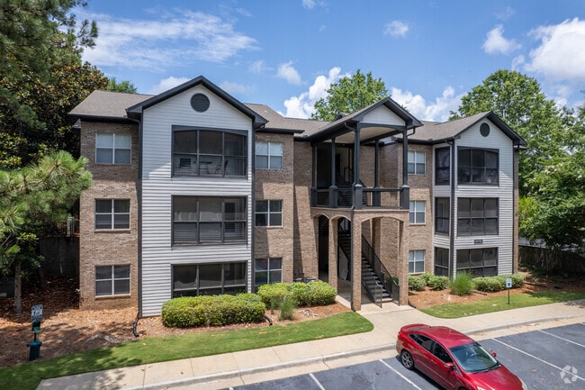


Property Detail
2700 Double Churches Rd
072-002-007
THE PALMS REPLAT OF PART NORTH LAKE CENTRE &
Commercialnec
Muscogee
AE The base floodplain where base flood elevations are provided. AE Zones are now used on new format FIRMs instead of A1-A30 Zones.
Georgia
2025
33.84 AC
2025
North Columbus
010304
Columbus GA
15,330 SF
Columbus, GA-AL
NEARBY LISTINGS FOR SALE OR LEASE
-
-
View all Columbus listings for sale on LoopNet.com
DEMOGRAPHICS near 2700 Double Churches Rd
1 mile
3 mile
5 mile
2025 Total Population
4,798
44,447
99,538
2030 Population
4,604
42,818
96,661
Pop Growth 2025-2030
(4.04%)
(3.67%)
(2.89%)
Average Age
39
40
39
2025 Total Households
2,107
18,217
41,413
HH Growth 2025-2030
(3.65%)
(3.50%)
(2.70%)
Median Household Inc
$63,717
$69,714
$62,301
Avg Household Size
2.30
2.40
2.30
2025 Avg HH Vehicles
2.00
2.00
2.00
Median Home Value
$226,845
$245,385
$243,191
Median Year Built
1981
1987
1982
Nearby Places
Map Layers
Map Styles
 Street
 Aerial
Layers
 Traffic
 Biking
Places
Listings with unknown addresses are not visible on the map
- Restaurants
- Banks
- Shops
- Fitness
- Groceries
PUBLIC TRANSPORTATION
AIRPORT
Columbus
Drive
Walk
Distance
Columbus
9 min
3.5 mi
Freight Ports
Port of Panama City
Drive
Walk
Distance
Port of Panama City
243 min
190.3 mi
Nearby Properties
Address
Land Use
TOTAL SIZE
Lot Size
Zoning
Address
Land Use
TOTAL SIZE
Lot Size
Zoning
2,744 SF
2.04 AC
Address
Land Use
TOTAL SIZE
Lot Size
Zoning
2,744 SF
41.16 AC
Address
Land Use
TOTAL SIZE
Lot Size
Zoning
2,744 SF
41.16 AC
Address
Land Use
TOTAL SIZE
Lot Size
Zoning
304,921 SF
75.14 AC
Address
Land Use
TOTAL SIZE
Lot Size
Zoning
4,652 SF
57.29 AC
Address
Land Use
TOTAL SIZE
Lot Size
Zoning
174,892 SF
19.03 AC
Address
Land Use
TOTAL SIZE
Lot Size
Zoning
11,230 SF
25.05 AC
Address
Land Use
TOTAL SIZE
Lot Size
Zoning
4,030 SF
22.41 AC
Address
Land Use
TOTAL SIZE
Lot Size
Zoning
33,061 SF
8 AC
Address
Land Use
TOTAL SIZE
Lot Size
Zoning
9,266 SF
50.07 AC
Address
Land Use
TOTAL SIZE
Lot Size
Zoning
83,300 SF
72.37 AC
Address
Land Use
TOTAL SIZE
Lot Size
Zoning
8,620 SF
25.15 AC
Address
Land Use
TOTAL SIZE
Lot Size
Zoning
134,620 SF
46.32 AC
Address
Land Use
TOTAL SIZE
Lot Size
Zoning
71,337 SF
17.24 AC
Address
Land Use
TOTAL SIZE
Lot Size
Zoning
87,985 SF
38.53 AC
Address
Land Use
TOTAL SIZE
Lot Size
Zoning
6,932 SF
26.83 AC
Address
Land Use
TOTAL SIZE
Lot Size
Zoning
248,961 SF
35.15 AC
Address
Land Use
TOTAL SIZE
Lot Size
Zoning
Address
Land Use
TOTAL SIZE
Lot Size
Zoning
10,683 SF
588.24 AC
Address
Land Use
TOTAL SIZE
Lot Size
Zoning
5,690 SF
Address
Land Use
TOTAL SIZE
Lot Size
Zoning
176,877 SF
26.35 AC
Address
Land Use
TOTAL SIZE
Lot Size
Zoning
3,224 SF
10.45 AC
Address
Land Use
TOTAL SIZE
Lot Size
Zoning
5,708 SF
30 AC
Address
Land Use
TOTAL SIZE
Lot Size
Zoning
48,883 SF
7.76 AC
Address
Land Use
TOTAL SIZE
Lot Size
Zoning
5,690 SF
33.84 AC
Address
Land Use
TOTAL SIZE
Lot Size
Zoning
Address
Land Use
TOTAL SIZE
Lot Size
Zoning
6,193 SF
8.76 AC
Address
Land Use
TOTAL SIZE
Lot Size
Zoning
Address
Land Use
TOTAL SIZE
Lot Size
Zoning
52,756 SF
11.40 AC
The World's #1 Commercial Real Estate Marketplace
Connect with us
© 2026 CoStar Group
The information above has been obtained from sources believed reliable. While we do not doubt its accuracy we have not verified it and make no guarantee, warranty or representation about it. It is your responsibility to independently confirm its accuracy and completeness. Any projections, opinions, assumptions, or estimates used are for example only and do not represent the current or future performance of the property. The value of this transaction to you depends on tax and other factors which should be evaluated by your tax, financial, and legal advisors. You and your advisors should conduct a careful, independent investigation of the property to determine to your satisfaction the suitability of the property for your needs.