Property Record
2700 Malabar Rd, Malabar, FL 32950


NEARBY LISTINGS FOR SALE OR LEASE
Property Detail
2700 Malabar Rd
Palm Bay-Melbourne-Titusville, FL
Arnolds Plat Of Malabar
28-38-31-50-0000A.0-0003.00
ARNOLDS PLAT OF MALABAR LOTS 3,4,7,8 BLK A, ALL OF PB 2 PG 24 & LOT 1 BLK A OF UNREC RESUBD OF LOTS 5 & 6 BLK A PER DB 414 PG 470 ALL AS DESC IN ORB 5919 PG 3899 ALSO INCL PART OF VAC JOHNSTON AVE DESC AS EXHIBIT A IN ORB 7766 PG 2972 TOGETHER WITH P
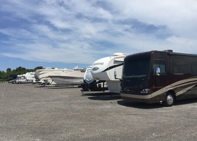
Publicstorage
Brevard
X
Florida
12009C0614H
3
2024
10.32 AC
2025
Brevard County
065231
Orlando
109,650 SF
DEMOGRAPHICS near 2700 Malabar Rd
1 Mile
3 Mile
5 Mile
2024 Total Population
2,055
19,417
66,719
2029 Population
2,241
21,321
73,642
Pop Growth 2024-2029
+ 9.05%
+ 9.81%
+ 10.38%
Average Age
45
48
45
2024 Total Households
927
8,325
29,090
HH Growth 2024-2029
+ 8.85%
+ 9.78%
+ 10.23%
Median Household Inc
$57,402
$59,233
$51,728
Avg Household Size
2.20
2.20
2.20
2024 Avg HH Vehicles
2.00
2.00
2.00
Median Home Value
$232,184
$269,648
$233,499
Median Year Built
1976
1983
1985
Nearby Places
Map Layers
Map Styles
 Street
 Aerial
- Restaurants
- Banks
- Shops
- Fitness
- Groceries
PUBLIC TRANSPORTATION
AIRPORT
Melbourne Orlando International
DRIVE
WALK
Distance
Melbourne Orlando International
21 min
9.9 mi
Freight Ports
Port Canaveral
DRIVE
WALK
Distance
Port Canaveral
58 min
45.9 mi
SALE & LEASE HISTORY
LISTING DATE
SALE/LEASE

Jul 24, 2020
For Sale
Nearby Properties
Address
Land Use
TOTAL SIZE
Lot Size
Zoning
Address
Land Use
TOTAL SIZE
Lot Size
Zoning
1,695,838 SF
106.06 AC
Address
Land Use
TOTAL SIZE
Lot Size
Zoning
282,680 SF
16 AC
IU
Address
Land Use
TOTAL SIZE
Lot Size
Zoning
326,454 SF
14.20 AC
RM20
Address
Land Use
TOTAL SIZE
Lot Size
Zoning
39.75 AC
GML
Address
Land Use
TOTAL SIZE
Lot Size
Zoning
2,366 SF
32.43 AC
SR
Address
Land Use
TOTAL SIZE
Lot Size
Zoning
4,000 SF
12.20 AC
IU
Address
Land Use
TOTAL SIZE
Lot Size
Zoning
1,380 SF
21.87 AC
IU
Address
Land Use
TOTAL SIZE
Lot Size
Zoning
762 SF
49.89 AC
GML
Address
Land Use
TOTAL SIZE
Lot Size
Zoning
352,735 SF
130.85 AC
Address
Land Use
TOTAL SIZE
Lot Size
Zoning
135,917 SF
2.92 AC
HC
Address
Land Use
TOTAL SIZE
Lot Size
Zoning
35.96 AC
GML
Address
Land Use
TOTAL SIZE
Lot Size
Zoning
222,925 SF
12.75 AC
PUD
Address
Land Use
TOTAL SIZE
Lot Size
Zoning
76,534 SF
4.33 AC
HC
Address
Land Use
TOTAL SIZE
Lot Size
Zoning
202,908 SF
34.94 AC
LI
Address
Land Use
TOTAL SIZE
Lot Size
Zoning
48,492 SF
17.45 AC
OI
Address
Land Use
TOTAL SIZE
Lot Size
Zoning
6.48 AC
GML
Address
Land Use
TOTAL SIZE
Lot Size
Zoning
97,728 SF
12.77 AC
IU
Address
Land Use
TOTAL SIZE
Lot Size
Zoning
5.83 AC
GML
Address
Land Use
TOTAL SIZE
Lot Size
Zoning
78,357 SF
8.47 AC
BU1
Address
Land Use
TOTAL SIZE
Lot Size
Zoning
31.07 AC
GML
Address
Land Use
TOTAL SIZE
Lot Size
Zoning
103,422 SF
6.01 AC
LI
Address
Land Use
TOTAL SIZE
Lot Size
Zoning
80,425 SF
12.78 AC
HC
Address
Land Use
TOTAL SIZE
Lot Size
Zoning
1,535 SF
3.85 AC
GML
Address
Land Use
TOTAL SIZE
Lot Size
Zoning
93,240 SF
4.67 AC
LI
Address
Land Use
TOTAL SIZE
Lot Size
Zoning
4.23 AC
GML
Address
Land Use
TOTAL SIZE
Lot Size
Zoning
59,088 SF
4.84 AC
LI
Address
Land Use
TOTAL SIZE
Lot Size
Zoning
64,984 SF
7.20 AC
RM15
Address
Land Use
TOTAL SIZE
Lot Size
Zoning
12.84 AC
GML
Address
Land Use
TOTAL SIZE
Lot Size
Zoning
14.28 AC
SR
The World's #1 Commercial Real Estate Marketplace
Connect with us
© 2026 CoStar Group
The information above has been obtained from sources believed reliable. While we do not doubt its accuracy we have not verified it and make no guarantee, warranty or representation about it. It is your responsibility to independently confirm its accuracy and completeness. Any projections, opinions, assumptions, or estimates used are for example only and do not represent the current or future performance of the property. The value of this transaction to you depends on tax and other factors which should be evaluated by your tax, financial, and legal advisors. You and your advisors should conduct a careful, independent investigation of the property to determine to your satisfaction the suitability of the property for your needs.