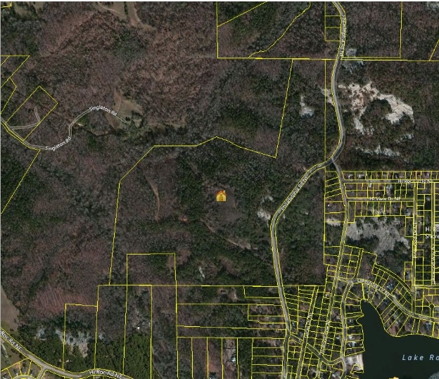
Property Record
2700 Philadelphia Rd Ne, Conyers, GA 30012


NEARBY LISTINGS FOR SALE OR LEASE
Property Detail
2700 Philadelphia Rd Ne
Atlanta-Sandy Springs-Roswell, GA
Rural
054-0-01-0028
& LL 337 E&W/SIDE PHILADELPHIA RD
Residentialacreage
Rockdale
A
Georgia
13247C0103D
331
2024
92.33 AC
2025
I-20 East/Conyers
060101
Atlanta
DEMOGRAPHICS near 2700 Philadelphia Rd Ne
1 Mile
3 Mile
5 Mile
2024 Total Population
1,215
19,767
51,192
2029 Population
1,269
20,470
53,319
Pop Growth 2024-2029
+ 4.44%
+ 3.56%
+ 4.15%
Average Age
42
39
38
2024 Total Households
458
6,891
17,740
HH Growth 2024-2029
+ 4.37%
+ 3.53%
+ 4.20%
Median Household Inc
$68,138
$64,260
$61,126
Avg Household Size
2.60
2.70
2.80
2024 Avg HH Vehicles
2.00
2.00
2.00
Median Home Value
$172,083
$186,638
$210,417
Median Year Built
1984
1989
1989
Nearby Places
Map Layers
Map Styles
 Street
 Aerial
- Restaurants
- Banks
- Shops
- Fitness
- Groceries
PUBLIC TRANSPORTATION
AIRPORT
Hartsfield - Jackson Atlanta International
DRIVE
WALK
Distance
Hartsfield - Jackson Atlanta International
49 min
31.2 mi
Freight Ports
Georgia Ports - Savannah
DRIVE
WALK
Distance
Georgia Ports - Savannah
286 min
243.7 mi
Nearby Properties
Address
Land Use
TOTAL SIZE
Lot Size
Zoning
Address
Land Use
TOTAL SIZE
Lot Size
Zoning
7,806 SF
32.76 AC
RM
Address
Land Use
TOTAL SIZE
Lot Size
Zoning
458,448 SF
12.98 AC
OI
Address
Land Use
TOTAL SIZE
Lot Size
Zoning
3,256 SF
22.05 AC
RM
Address
Land Use
TOTAL SIZE
Lot Size
Zoning
55,928 SF
14.63 AC
BN
Address
Land Use
TOTAL SIZE
Lot Size
Zoning
3,066 SF
22.44 AC
R3/R1
Address
Land Use
TOTAL SIZE
Lot Size
Zoning
3,648 SF
1.02 AC
R3/R1
Address
Land Use
TOTAL SIZE
Lot Size
Zoning
3,888 SF
21.05 AC
RM/C
Address
Land Use
TOTAL SIZE
Lot Size
Zoning
17,800 SF
11.36 AC
RM/C
Address
Land Use
TOTAL SIZE
Lot Size
Zoning
180,890 SF
45.15 AC
R1
Address
Land Use
TOTAL SIZE
Lot Size
Zoning
201,089 SF
13.40 AC
ID
Address
Land Use
TOTAL SIZE
Lot Size
Zoning
159,014 SF
3.88 AC
RM
Address
Land Use
TOTAL SIZE
Lot Size
Zoning
28,012 SF
4.04 AC
OI
Address
Land Use
TOTAL SIZE
Lot Size
Zoning
14,575 SF
14.55 AC
OI
Address
Land Use
TOTAL SIZE
Lot Size
Zoning
145,159 SF
1.13 AC
BN
Address
Land Use
TOTAL SIZE
Lot Size
Zoning
71.95 AC
R1
Address
Land Use
TOTAL SIZE
Lot Size
Zoning
80,000 SF
13.62 AC
ID
Address
Land Use
TOTAL SIZE
Lot Size
Zoning
3,057 SF
27.27 AC
RM
Address
Land Use
TOTAL SIZE
Lot Size
Zoning
29.96 AC
R1
Address
Land Use
TOTAL SIZE
Lot Size
Zoning
57,417 SF
11.25 AC
BN
Address
Land Use
TOTAL SIZE
Lot Size
Zoning
66,181 SF
25.46 AC
R1A
Address
Land Use
TOTAL SIZE
Lot Size
Zoning
36,140 SF
2.74 AC
OI
Address
Land Use
TOTAL SIZE
Lot Size
Zoning
20,942 SF
22.78 AC
BG
Address
Land Use
TOTAL SIZE
Lot Size
Zoning
34,370 SF
5.04 AC
OI
Address
Land Use
TOTAL SIZE
Lot Size
Zoning
11,000 SF
56.32 AC
R3/C
Address
Land Use
TOTAL SIZE
Lot Size
Zoning
69,088 SF
9.37 AC
BG
Address
Land Use
TOTAL SIZE
Lot Size
Zoning
16,100 SF
5.10 AC
BG
Address
Land Use
TOTAL SIZE
Lot Size
Zoning
13,948 SF
3.85 AC
BG
Address
Land Use
TOTAL SIZE
Lot Size
Zoning
7.59 AC
BN
Address
Land Use
TOTAL SIZE
Lot Size
Zoning
28,063 SF
2 AC
RM
Address
Land Use
TOTAL SIZE
Lot Size
Zoning
6,095 SF
2.45 AC
BG
The World's #1 Commercial Real Estate Marketplace
Connect with us
© 2026 CoStar Group
The information above has been obtained from sources believed reliable. While we do not doubt its accuracy we have not verified it and make no guarantee, warranty or representation about it. It is your responsibility to independently confirm its accuracy and completeness. Any projections, opinions, assumptions, or estimates used are for example only and do not represent the current or future performance of the property. The value of this transaction to you depends on tax and other factors which should be evaluated by your tax, financial, and legal advisors. You and your advisors should conduct a careful, independent investigation of the property to determine to your satisfaction the suitability of the property for your needs.