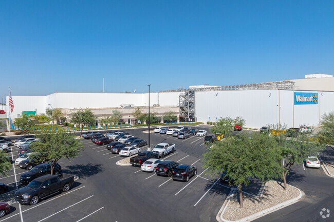
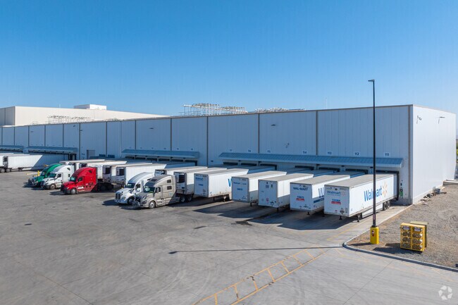
Property Record
2701 S Driver Rd, Shafter, CA 93263

Property Detail
2701 S Driver Rd
091-253-07-00-9
LLA 16-57 PARCEL B
Shipyard
Kern
I
California
B and X Area of moderate flood hazard, usually the area between the limits of the 100-year and 500-year floods.
68.11 AC
2024
NW Outlying Kern County
2025
Bakersfield
003900
Bakersfield-Delano, CA
622,678 SF
NEARBY LISTINGS FOR SALE OR LEASE
DEMOGRAPHICS near 2701 S Driver Rd
1 mile
3 mile
5 mile
2025 Total Population
9
1,016
22,665
2030 Population
9
996
23,127
Pop Growth 2025-2030
0.00%
(1.97%)
+ 2.04%
Average Age
37
37
33
2025 Total Households
1
112
6,041
HH Growth 2025-2030
0.00%
+ 5.36%
+ 2.63%
Median Household Inc
$0
$57,856
$76,288
Avg Household Size
.00
3.50
3.50
2025 Avg HH Vehicles
2.00
2.00
2.00
Median Home Value
$0
$597,222
$395,338
Median Year Built
0
1971
1993
Nearby Places
Map Layers
Map Styles
 Street
 Aerial
Transit
 Traffic
 Biking
Places
Listings with unknown addresses are not visible on the map
- Restaurants
- Banks
- Shops
- Fitness
- Groceries
PUBLIC TRANSPORTATION
AIRPORT
Meadows Field
Drive
Walk
Distance
Meadows Field
24 min
11.3 mi
Freight Ports
The Port of Hueneme
Drive
Walk
Distance
The Port of Hueneme
172 min
136.0 mi
Nearby Properties
Address
Land Use
TOTAL SIZE
Lot Size
Zoning
Address
Land Use
TOTAL SIZE
Lot Size
Zoning
2,129,000 SF
154.70 AC
M-1
Address
Land Use
TOTAL SIZE
Lot Size
Zoning
1,861,272 SF
129.69 AC
Address
Land Use
TOTAL SIZE
Lot Size
Zoning
1,004,880 SF
71.87 AC
I
Address
Land Use
TOTAL SIZE
Lot Size
Zoning
72.24 AC
I
Address
Land Use
TOTAL SIZE
Lot Size
Zoning
1,004,800 SF
57.77 AC
I
Address
Land Use
TOTAL SIZE
Lot Size
Zoning
5.61 AC
I
Address
Land Use
TOTAL SIZE
Lot Size
Zoning
1,002,200 SF
45.25 AC
I
Address
Land Use
TOTAL SIZE
Lot Size
Zoning
14.52 AC
Address
Land Use
TOTAL SIZE
Lot Size
Zoning
135,048 SF
34.98 AC
M
Address
Land Use
TOTAL SIZE
Lot Size
Zoning
403,770 SF
20.31 AC
I
Address
Land Use
TOTAL SIZE
Lot Size
Zoning
4,494 SF
67.92 AC
M-1
Address
Land Use
TOTAL SIZE
Lot Size
Zoning
209,775 SF
21.23 AC
I
Address
Land Use
TOTAL SIZE
Lot Size
Zoning
336,000 SF
17.33 AC
M-2
Address
Land Use
TOTAL SIZE
Lot Size
Zoning
64,710 SF
59.09 AC
BP4
Address
Land Use
TOTAL SIZE
Lot Size
Zoning
350,000 SF
29.68 AC
I
Address
Land Use
TOTAL SIZE
Lot Size
Zoning
3.66 AC
I
Address
Land Use
TOTAL SIZE
Lot Size
Zoning
13.82 AC
Address
Land Use
TOTAL SIZE
Lot Size
Zoning
84,860 SF
15.35 AC
M-3
Address
Land Use
TOTAL SIZE
Lot Size
Zoning
94,661 SF
21.15 AC
Address
Land Use
TOTAL SIZE
Lot Size
Zoning
466.60 AC
Address
Land Use
TOTAL SIZE
Lot Size
Zoning
35,125 SF
20.70 AC
M-2
Address
Land Use
TOTAL SIZE
Lot Size
Zoning
1,200 SF
519.50 AC
A
Address
Land Use
TOTAL SIZE
Lot Size
Zoning
15,000 SF
10.70 AC
M2
Address
Land Use
TOTAL SIZE
Lot Size
Zoning
14,834 SF
11.88 AC
M-3
Address
Land Use
TOTAL SIZE
Lot Size
Zoning
311.57 AC
Address
Land Use
TOTAL SIZE
Lot Size
Zoning
7,200 SF
15.17 AC
M3
Address
Land Use
TOTAL SIZE
Lot Size
Zoning
5,291 SF
3.64 AC
M3
Address
Land Use
TOTAL SIZE
Lot Size
Zoning
8,400 SF
45.59 AC
A
The World's #1 Commercial Real Estate Marketplace
Connect with us
© 2026 CoStar Group
The information above has been obtained from sources believed reliable. While we do not doubt its accuracy we have not verified it and make no guarantee, warranty or representation about it. It is your responsibility to independently confirm its accuracy and completeness. Any projections, opinions, assumptions, or estimates used are for example only and do not represent the current or future performance of the property. The value of this transaction to you depends on tax and other factors which should be evaluated by your tax, financial, and legal advisors. You and your advisors should conduct a careful, independent investigation of the property to determine to your satisfaction the suitability of the property for your needs.