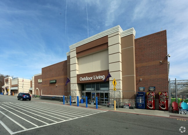
Property Record
2710 N Main St, High Point, NC 27265

Property Detail
2710 N Main St
0197798
WALMART/N MAIN ST LO:PT E PL:100-43
Storebuilding
Guilford
CU-SC
North Carolina
B and X Area of moderate flood hazard, usually the area between the limits of the 100-year and 500-year floods.
e
2024
16.36 AC
2025
High Point/SW Guilford Cty
014409
Greensboro/Winston-Salem
161,377 SF
Greensboro-High Point, NC
NEARBY LISTINGS FOR SALE OR LEASE
DEMOGRAPHICS near 2710 N Main St
1 mile
3 mile
5 mile
2025 Total Population
6,948
55,371
116,144
2030 Population
7,120
57,266
120,530
Pop Growth 2025-2030
+ 2.48%
+ 3.42%
+ 3.78%
Average Age
40
40
40
2025 Total Households
3,248
21,339
45,090
HH Growth 2025-2030
+ 2.68%
+ 3.72%
+ 4.00%
Median Household Inc
$51,021
$60,239
$62,133
Avg Household Size
2.10
2.30
2.40
2025 Avg HH Vehicles
2.00
2.00
2.00
Median Home Value
$201,125
$238,619
$250,158
Median Year Built
1979
1977
1983
Nearby Places
Map Layers
Map Styles
 Street
 Aerial
Layers
 Traffic
 Biking
Places
Listings with unknown addresses are not visible on the map
- Restaurants
- Banks
- Shops
- Fitness
- Groceries
PUBLIC TRANSPORTATION
COMMUTER RAIL
High Point Station (Piedmont - North Carolina by Train (NC Train))
Drive
Walk
Distance
High Point Station (Piedmont - North Carolina by Train (NC Train))
7 min
3.1 mi
AIRPORT
Piedmont Triad International
Drive
Walk
Distance
Piedmont Triad International
25 min
11.6 mi
Freight Ports
Port of Wilmington
Drive
Walk
Distance
Port of Wilmington
256 min
215.6 mi
Nearby Properties
Address
Land Use
TOTAL SIZE
Lot Size
Zoning
Address
Land Use
TOTAL SIZE
Lot Size
Zoning
264,860 SF
62.75 AC
PI
Address
Land Use
TOTAL SIZE
Lot Size
Zoning
418,654 SF
17.20 AC
PI
Address
Land Use
TOTAL SIZE
Lot Size
Zoning
1,045,775 SF
114.96 AC
CZ-LI-HP
Address
Land Use
TOTAL SIZE
Lot Size
Zoning
236,597 SF
13.83 AC
CU-PI
Address
Land Use
TOTAL SIZE
Lot Size
Zoning
484,289 SF
6.41 AC
CB
Address
Land Use
TOTAL SIZE
Lot Size
Zoning
139,254 SF
0.01 AC
PI
Address
Land Use
TOTAL SIZE
Lot Size
Zoning
796,121 SF
9.36 AC
CB
Address
Land Use
TOTAL SIZE
Lot Size
Zoning
25,648 SF
40.16 AC
PDR
Address
Land Use
TOTAL SIZE
Lot Size
Zoning
706,686 SF
39.02 AC
R-5
Address
Land Use
TOTAL SIZE
Lot Size
Zoning
136,202 SF
30.02 AC
CZ-I
Address
Land Use
TOTAL SIZE
Lot Size
Zoning
142,800 SF
1.04 AC
CB
Address
Land Use
TOTAL SIZE
Lot Size
Zoning
285,094 SF
3.23 AC
CB
Address
Land Use
TOTAL SIZE
Lot Size
Zoning
100,121 SF
0.01 AC
PI
Address
Land Use
TOTAL SIZE
Lot Size
Zoning
215,222 SF
15.14 AC
RC
Address
Land Use
TOTAL SIZE
Lot Size
Zoning
1.32 AC
PNR
Address
Land Use
TOTAL SIZE
Lot Size
Zoning
185,320 SF
15.08 AC
PI
Address
Land Use
TOTAL SIZE
Lot Size
Zoning
170,183 SF
13.94 AC
RM-16
Address
Land Use
TOTAL SIZE
Lot Size
Zoning
166,196 SF
19.99 AC
RM-16
Address
Land Use
TOTAL SIZE
Lot Size
Zoning
164,027 SF
12.52 AC
RM-16
Address
Land Use
TOTAL SIZE
Lot Size
Zoning
90,060 SF
3.15 AC
CZ-I
Address
Land Use
TOTAL SIZE
Lot Size
Zoning
56,029 SF
9.36 AC
CU-GB
Address
Land Use
TOTAL SIZE
Lot Size
Zoning
250,573 SF
48.53 AC
R-5
Address
Land Use
TOTAL SIZE
Lot Size
Zoning
87,488 SF
0.01 AC
PI
Address
Land Use
TOTAL SIZE
Lot Size
Zoning
87,485 SF
17.21 AC
R-3
Address
Land Use
TOTAL SIZE
Lot Size
Zoning
181,106 SF
16.23 AC
RM-16
Address
Land Use
TOTAL SIZE
Lot Size
Zoning
200,288 SF
2.58 AC
CB
Address
Land Use
TOTAL SIZE
Lot Size
Zoning
4,500 SF
6.98 AC
MX-D
Address
Land Use
TOTAL SIZE
Lot Size
Zoning
94,632 SF
1.13 AC
MX-D
Address
Land Use
TOTAL SIZE
Lot Size
Zoning
258,695 SF
0.70 AC
CB
The World's #1 Commercial Real Estate Marketplace
Connect with us
© 2026 CoStar Group
The information above has been obtained from sources believed reliable. While we do not doubt its accuracy we have not verified it and make no guarantee, warranty or representation about it. It is your responsibility to independently confirm its accuracy and completeness. Any projections, opinions, assumptions, or estimates used are for example only and do not represent the current or future performance of the property. The value of this transaction to you depends on tax and other factors which should be evaluated by your tax, financial, and legal advisors. You and your advisors should conduct a careful, independent investigation of the property to determine to your satisfaction the suitability of the property for your needs.