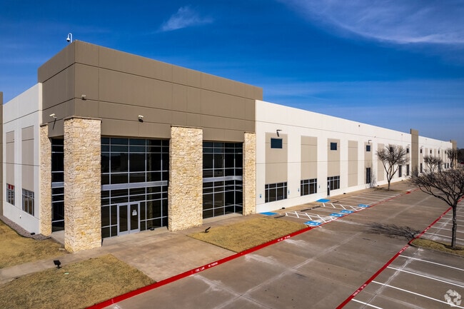
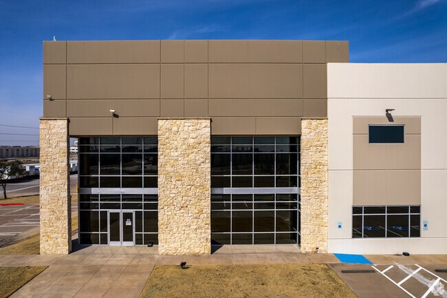
Property Record
2710 Spinks Rd, Lewisville, TX 75067

Property Detail
2710 Spinks Rd
Dallas-Fort Worth-Arlington, TX
MAJESTIC ADDN BLK A LOT 3R1
R661808
DENTON
Commercialnec
Texas
B and X Area of moderate flood hazard, usually the area between the limits of the 100-year and 500-year floods.
3
2024
52.19 AC
2025
Lewisville
021740
Dallas/Ft Worth
947,236 SF
NEARBY LISTINGS FOR SALE OR LEASE
DEMOGRAPHICS near 2710 Spinks Rd
1 mile
3 mile
5 mile
2025 Total Population
11,089
114,688
224,657
2030 Population
12,128
124,508
245,464
Pop Growth 2025-2030
+ 9.37%
+ 8.56%
+ 9.26%
Average Age
37
37
38
2025 Total Households
4,218
44,150
86,229
HH Growth 2025-2030
+ 10.22%
+ 9.10%
+ 9.15%
Median Household Inc
$94,989
$97,894
$103,967
Avg Household Size
2.60
2.60
2.60
2025 Avg HH Vehicles
2.00
2.00
2.00
Median Home Value
$393,203
$445,767
$448,094
Median Year Built
2004
1994
1995
Nearby Places
Map Layers
Map Styles
 Street
 Aerial
Layers
 Traffic
 Biking
Places
Listings with unknown addresses are not visible on the map
- Restaurants
- Banks
- Shops
- Fitness
- Groceries
PUBLIC TRANSPORTATION
COMMUTER RAIL
Drive
Walk
Distance
10 min
4.0 mi
Drive
Walk
Distance
10 min
4.9 mi
AIRPORT
Dallas-Fort Worth International
Drive
Walk
Distance
Dallas-Fort Worth International
12 min
8.0 mi
Dallas Love Field
Drive
Walk
Distance
Dallas Love Field
31 min
21.5 mi
Nearby Properties
Address
Land Use
TOTAL SIZE
Lot Size
Zoning
Address
Land Use
TOTAL SIZE
Lot Size
Zoning
1,325,709 SF
124.50 AC
Address
Land Use
TOTAL SIZE
Lot Size
Zoning
444,824 SF
19.08 AC
Address
Land Use
TOTAL SIZE
Lot Size
Zoning
527,463 SF
42.25 AC
Address
Land Use
TOTAL SIZE
Lot Size
Zoning
768,494 SF
10.42 AC
Address
Land Use
TOTAL SIZE
Lot Size
Zoning
1,581,742 SF
53.48 AC
Z123
Address
Land Use
TOTAL SIZE
Lot Size
Zoning
481,511 SF
34.76 AC
Z172
Address
Land Use
TOTAL SIZE
Lot Size
Zoning
1,065,080 SF
49.57 AC
Z123
Address
Land Use
TOTAL SIZE
Lot Size
Zoning
835,344 SF
143.50 AC
Address
Land Use
TOTAL SIZE
Lot Size
Zoning
457,738 SF
28.49 AC
Address
Land Use
TOTAL SIZE
Lot Size
Zoning
313,369 SF
55.25 AC
Address
Land Use
TOTAL SIZE
Lot Size
Zoning
352,209 SF
17.54 AC
Z172
Address
Land Use
TOTAL SIZE
Lot Size
Zoning
950,000 SF
45.32 AC
Z123
Address
Land Use
TOTAL SIZE
Lot Size
Zoning
394,048 SF
16.36 AC
Address
Land Use
TOTAL SIZE
Lot Size
Zoning
379,940 SF
63.48 AC
Z31
Address
Land Use
TOTAL SIZE
Lot Size
Zoning
382,330 SF
21.43 AC
3B
Address
Land Use
TOTAL SIZE
Lot Size
Zoning
284,952 SF
26.18 AC
Address
Land Use
TOTAL SIZE
Lot Size
Zoning
184,186 SF
34.74 AC
Z31
Address
Land Use
TOTAL SIZE
Lot Size
Zoning
329,666 SF
19.76 AC
Address
Land Use
TOTAL SIZE
Lot Size
Zoning
385,247 SF
22.59 AC
3B
Address
Land Use
TOTAL SIZE
Lot Size
Zoning
344,868 SF
19.44 AC
Address
Land Use
TOTAL SIZE
Lot Size
Zoning
514,192 SF
21.56 AC
3B
Address
Land Use
TOTAL SIZE
Lot Size
Zoning
412,389 SF
16.69 AC
3B
Address
Land Use
TOTAL SIZE
Lot Size
Zoning
295,408 SF
10.33 AC
Address
Land Use
TOTAL SIZE
Lot Size
Zoning
354,546 SF
19.38 AC
3B
Address
Land Use
TOTAL SIZE
Lot Size
Zoning
269,300 SF
60.39 AC
Address
Land Use
TOTAL SIZE
Lot Size
Zoning
411,223 SF
24.07 AC
3B
Address
Land Use
TOTAL SIZE
Lot Size
Zoning
1,030,000 SF
53.43 AC
Address
Land Use
TOTAL SIZE
Lot Size
Zoning
344,926 SF
19.93 AC
3B
Address
Land Use
TOTAL SIZE
Lot Size
Zoning
347,181 SF
18.51 AC
3B
The World's #1 Commercial Real Estate Marketplace
Connect with us
© 2026 CoStar Group
The information above has been obtained from sources believed reliable. While we do not doubt its accuracy we have not verified it and make no guarantee, warranty or representation about it. It is your responsibility to independently confirm its accuracy and completeness. Any projections, opinions, assumptions, or estimates used are for example only and do not represent the current or future performance of the property. The value of this transaction to you depends on tax and other factors which should be evaluated by your tax, financial, and legal advisors. You and your advisors should conduct a careful, independent investigation of the property to determine to your satisfaction the suitability of the property for your needs.