Property Record
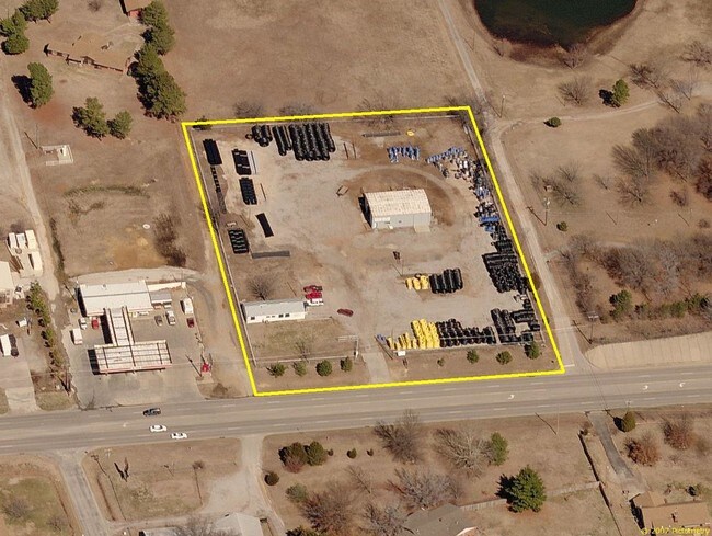
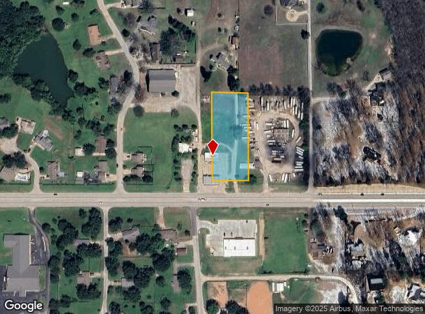
2715 E Highway 117, Sapulpa, OK 74066
NEARBY LISTINGS FOR SALE OR LEASE
Property Detail
2715 E Highway 117
1999-31-018-012-0-230-00
Unplatted Sapulpa
Conveniencestore
31-18-12 BEG 70 N SW COR SE SE N400 E165 S400 W165 POB
X
Creek
40037C0305D
Oklahoma
2024
1.52 AC
2025
Creek County
021401
Tulsa
378 SF
Tulsa, OK
DEMOGRAPHICS near 2715 E Highway 117
1 Mile
3 Mile
5 Mile
2024 Total Population
1,201
22,489
56,221
2029 Population
1,253
23,635
58,478
Pop Growth 2024-2029
+ 4.33%
+ 5.10%
+ 4.01%
Average Age
45
39
38
2024 Total Households
463
8,745
20,662
HH Growth 2024-2029
+ 4.32%
+ 5.20%
+ 4.11%
Median Household Inc
$83,064
$57,492
$66,805
Avg Household Size
2.60
2.50
2.70
2024 Avg HH Vehicles
2.00
2.00
2.00
Median Home Value
$255,960
$163,599
$191,375
Median Year Built
1985
1980
1989
Nearby Places
Map Layers
Map Styles
 Street
 Aerial
- Restaurants
- Banks
- Shops
- Fitness
- Groceries
PUBLIC TRANSPORTATION
AIRPORT
Tulsa International
DRIVE
WALK
Distance
Tulsa International
34 min
24.5 mi
Freight Ports
Tulsa Port Of Catoosa
DRIVE
WALK
Distance
Tulsa Port Of Catoosa
42 min
33.2 mi
Nearby Properties
Address
Land Use
TOTAL SIZE
Lot Size
Zoning
Address
Land Use
TOTAL SIZE
Lot Size
Zoning
58,907 SF
5 AC
CG
Address
Land Use
TOTAL SIZE
Lot Size
Zoning
331,125 SF
17.64 AC
CG
Address
Land Use
TOTAL SIZE
Lot Size
Zoning
25,555 SF
17.31 AC
CN
Address
Land Use
TOTAL SIZE
Lot Size
Zoning
23,600 SF
15.69 AC
Address
Land Use
TOTAL SIZE
Lot Size
Zoning
2,152 SF
8.88 AC
Address
Land Use
TOTAL SIZE
Lot Size
Zoning
5,971 SF
2.67 AC
AG
Address
Land Use
TOTAL SIZE
Lot Size
Zoning
57,534 SF
1.73 AC
CG
Address
Land Use
TOTAL SIZE
Lot Size
Zoning
9,462 SF
3.79 AC
Address
Land Use
TOTAL SIZE
Lot Size
Zoning
12,032 SF
9.09 AC
Address
Land Use
TOTAL SIZE
Lot Size
Zoning
1,360 SF
11.70 AC
Address
Land Use
TOTAL SIZE
Lot Size
Zoning
1,276 SF
5.77 AC
Address
Land Use
TOTAL SIZE
Lot Size
Zoning
18,334 SF
1.78 AC
Address
Land Use
TOTAL SIZE
Lot Size
Zoning
5,085 SF
2.39 AC
Address
Land Use
TOTAL SIZE
Lot Size
Zoning
8,652 SF
4.52 AC
Address
Land Use
TOTAL SIZE
Lot Size
Zoning
7,988 SF
1.35 AC
CG
Address
Land Use
TOTAL SIZE
Lot Size
Zoning
16,468 SF
3.08 AC
CG
Address
Land Use
TOTAL SIZE
Lot Size
Zoning
5,764 SF
48.93 AC
Address
Land Use
TOTAL SIZE
Lot Size
Zoning
7,260 SF
0.30 AC
Address
Land Use
TOTAL SIZE
Lot Size
Zoning
89,000 SF
10.64 AC
Address
Land Use
TOTAL SIZE
Lot Size
Zoning
8,700 SF
2.50 AC
Address
Land Use
TOTAL SIZE
Lot Size
Zoning
1,500 SF
4.64 AC
Address
Land Use
TOTAL SIZE
Lot Size
Zoning
54,210 SF
14.25 AC
IL
Address
Land Use
TOTAL SIZE
Lot Size
Zoning
6,555 SF
0.80 AC
Address
Land Use
TOTAL SIZE
Lot Size
Zoning
2,910 SF
4.53 AC
Address
Land Use
TOTAL SIZE
Lot Size
Zoning
9,246 SF
0.73 AC
Address
Land Use
TOTAL SIZE
Lot Size
Zoning
3,116 SF
0.38 AC
Address
Land Use
TOTAL SIZE
Lot Size
Zoning
921 SF
0.24 AC
Address
Land Use
TOTAL SIZE
Lot Size
Zoning
7,367 SF
77.36 AC
Address
Land Use
TOTAL SIZE
Lot Size
Zoning
17,692 SF
1.10 AC
The World's #1 Commercial Real Estate Marketplace
Connect with us
© 2025 CoStar Group
The information above has been obtained from sources believed reliable. While we do not doubt its accuracy we have not verified it and make no guarantee, warranty or representation about it. It is your responsibility to independently confirm its accuracy and completeness. Any projections, opinions, assumptions, or estimates used are for example only and do not represent the current or future performance of the property. The value of this transaction to you depends on tax and other factors which should be evaluated by your tax, financial, and legal advisors. You and your advisors should conduct a careful, independent investigation of the property to determine to your satisfaction the suitability of the property for your needs.