Property Record
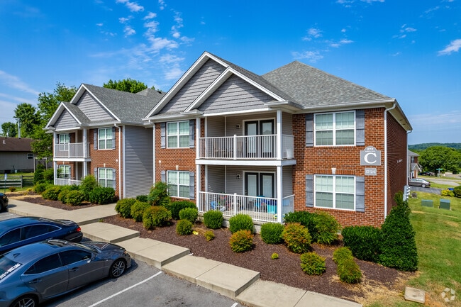
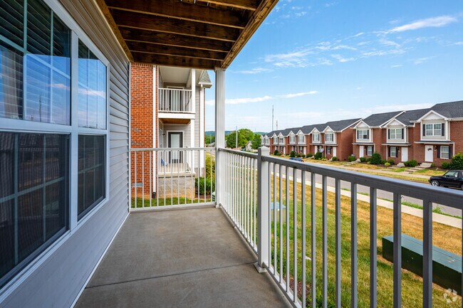
272 Audley Ave, Bowling Green, KY 42101
Property Detail
272 Audley Ave
040A-27-002
Warren
Multifamilydwelling
Kentucky
B and X Area of moderate flood hazard, usually the area between the limits of the 100-year and 500-year floods.
1.44 AC
2025
Bowling Green Area
2025
Other Market Areas
011002
Bowling Green, KY
9,034 SF
NEARBY LISTINGS FOR SALE OR LEASE
DEMOGRAPHICS near 272 Audley Ave
1 mile
3 mile
5 mile
2025 Total Population
10,929
52,624
91,132
2030 Population
11,995
57,078
99,290
Pop Growth 2025-2030
+ 9.75%
+ 8.46%
+ 8.95%
Average Age
32
33
35
2025 Total Households
4,085
19,765
35,505
HH Growth 2025-2030
+ 10.33%
+ 9.28%
+ 9.73%
Median Household Inc
$50,740
$44,560
$52,685
Avg Household Size
2.60
2.30
2.40
2025 Avg HH Vehicles
2.00
2.00
2.00
Median Home Value
$189,339
$214,233
$271,738
Median Year Built
1997
1986
1991
Nearby Places
Map Layers
Map Styles
 Street
 Aerial
Layers
 Traffic
 Biking
Places
Listings with unknown addresses are not visible on the map
- Restaurants
- Banks
- Shops
- Fitness
- Groceries
Nearby Properties
Address
Land Use
TOTAL SIZE
Lot Size
Zoning
Address
Land Use
TOTAL SIZE
Lot Size
Zoning
117,551 SF
5.06 AC
Address
Land Use
TOTAL SIZE
Lot Size
Zoning
150,327 SF
2.54 AC
Address
Land Use
TOTAL SIZE
Lot Size
Zoning
39,504 SF
19.74 AC
Address
Land Use
TOTAL SIZE
Lot Size
Zoning
36,984 SF
7.26 AC
Address
Land Use
TOTAL SIZE
Lot Size
Zoning
Address
Land Use
TOTAL SIZE
Lot Size
Zoning
19.61 AC
Address
Land Use
TOTAL SIZE
Lot Size
Zoning
418,117 SF
44.30 AC
Address
Land Use
TOTAL SIZE
Lot Size
Zoning
214,273 SF
26.97 AC
Address
Land Use
TOTAL SIZE
Lot Size
Zoning
Address
Land Use
TOTAL SIZE
Lot Size
Zoning
Address
Land Use
TOTAL SIZE
Lot Size
Zoning
Address
Land Use
TOTAL SIZE
Lot Size
Zoning
17,010 SF
9.64 AC
Address
Land Use
TOTAL SIZE
Lot Size
Zoning
Address
Land Use
TOTAL SIZE
Lot Size
Zoning
2,946 SF
3.59 AC
Address
Land Use
TOTAL SIZE
Lot Size
Zoning
82,675 SF
5.02 AC
Address
Land Use
TOTAL SIZE
Lot Size
Zoning
283,545 SF
38.28 AC
Address
Land Use
TOTAL SIZE
Lot Size
Zoning
38,782 SF
4.05 AC
Address
Land Use
TOTAL SIZE
Lot Size
Zoning
1,101 SF
16.07 AC
Address
Land Use
TOTAL SIZE
Lot Size
Zoning
3,200 SF
8.61 AC
Address
Land Use
TOTAL SIZE
Lot Size
Zoning
245,774 SF
39.12 AC
Address
Land Use
TOTAL SIZE
Lot Size
Zoning
241,486 SF
23.20 AC
Address
Land Use
TOTAL SIZE
Lot Size
Zoning
13,277 SF
1.21 AC
Address
Land Use
TOTAL SIZE
Lot Size
Zoning
168,353 SF
37.76 AC
Address
Land Use
TOTAL SIZE
Lot Size
Zoning
15,450 SF
11.78 AC
Address
Land Use
TOTAL SIZE
Lot Size
Zoning
13,661 SF
6.25 AC
Address
Land Use
TOTAL SIZE
Lot Size
Zoning
63,584 SF
6.43 AC
Address
Land Use
TOTAL SIZE
Lot Size
Zoning
43,663 SF
8.77 AC
Address
Land Use
TOTAL SIZE
Lot Size
Zoning
11,568 SF
2.30 AC
Address
Land Use
TOTAL SIZE
Lot Size
Zoning
17,280 SF
8.89 AC
Address
Land Use
TOTAL SIZE
Lot Size
Zoning
159,256 SF
11.44 AC
The World's #1 Commercial Real Estate Marketplace
Connect with us
© 2026 CoStar Group
The information above has been obtained from sources believed reliable. While we do not doubt its accuracy we have not verified it and make no guarantee, warranty or representation about it. It is your responsibility to independently confirm its accuracy and completeness. Any projections, opinions, assumptions, or estimates used are for example only and do not represent the current or future performance of the property. The value of this transaction to you depends on tax and other factors which should be evaluated by your tax, financial, and legal advisors. You and your advisors should conduct a careful, independent investigation of the property to determine to your satisfaction the suitability of the property for your needs.