Property Record
274 Nealson St, Hurlock, MD 21643

Property Detail
274 Nealson St
15-014938
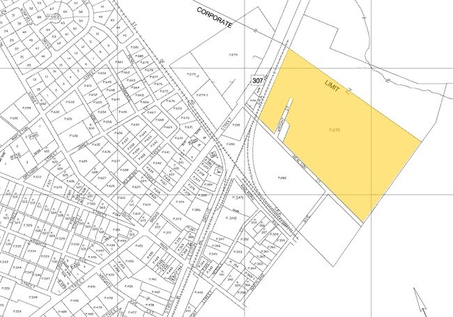
30.63 ACRES 274 NEALSON STREET HURLOCK
Coldstorage
Dorchester
I-2
Maryland
AE The base floodplain where base flood elevations are provided. AE Zones are now used on new format FIRMs instead of A1-A30 Zones.
30.63 AC
2025
Chesapeake Bay/Salisbury
2025
Other Market Areas
970200
Cambridge, MD
9,156 SF
NEARBY LISTINGS FOR SALE OR LEASE
DEMOGRAPHICS near 274 Nealson St
1 mile
3 mile
5 mile
2025 Total Population
1,801
3,446
6,624
2030 Population
1,749
3,375
6,545
Pop Growth 2025-2030
(2.89%)
(2.06%)
(1.19%)
Average Age
41
41
42
2025 Total Households
687
1,334
2,557
HH Growth 2025-2030
(3.20%)
(2.32%)
(1.45%)
Median Household Inc
$61,644
$63,031
$66,836
Avg Household Size
2.60
2.50
2.50
2025 Avg HH Vehicles
2.00
2.00
2.00
Median Home Value
$199,370
$215,891
$232,089
Median Year Built
1978
1982
1981
Nearby Places
Map Layers
Map Styles
 Street
 Aerial
Layers
 Traffic
 Biking
Places
Listings with unknown addresses are not visible on the map
- Restaurants
- Banks
- Shops
- Fitness
- Groceries
PUBLIC TRANSPORTATION
AIRPORT
Salisbury-Ocean City Wicomico Regional
Drive
Walk
Distance
Salisbury-Ocean City Wicomico Regional
59 min
36.6 mi
Freight Ports
Port of Baltimore
Drive
Walk
Distance
Port of Baltimore
123 min
75.3 mi
Nearby Properties
Address
Land Use
TOTAL SIZE
Lot Size
Zoning
Address
Land Use
TOTAL SIZE
Lot Size
Zoning
200,000 SF
86.92 AC
I2
Address
Land Use
TOTAL SIZE
Lot Size
Zoning
50,634 SF
5.27 AC
RE-TC
Address
Land Use
TOTAL SIZE
Lot Size
Zoning
70,584 SF
12.13 AC
Address
Land Use
TOTAL SIZE
Lot Size
Zoning
54,520 SF
48.95 AC
Address
Land Use
TOTAL SIZE
Lot Size
Zoning
157,270 SF
32.40 AC
AC
Address
Land Use
TOTAL SIZE
Lot Size
Zoning
103,564 SF
12.42 AC
Address
Land Use
TOTAL SIZE
Lot Size
Zoning
111.85 AC
AC
Address
Land Use
TOTAL SIZE
Lot Size
Zoning
145.84 AC
ACRCA
Address
Land Use
TOTAL SIZE
Lot Size
Zoning
102 AC
AC
Address
Land Use
TOTAL SIZE
Lot Size
Zoning
6,160 SF
10.32 AC
R-1
Address
Land Use
TOTAL SIZE
Lot Size
Zoning
57,940 SF
19.37 AC
I-2
Address
Land Use
TOTAL SIZE
Lot Size
Zoning
768 SF
70.18 AC
AC
Address
Land Use
TOTAL SIZE
Lot Size
Zoning
2,842 SF
6.80 AC
Address
Land Use
TOTAL SIZE
Lot Size
Zoning
13,550 SF
4.78 AC
RR
Address
Land Use
TOTAL SIZE
Lot Size
Zoning
3,002 SF
0.76 AC
RE-TC
Address
Land Use
TOTAL SIZE
Lot Size
Zoning
25,044 SF
2.41 AC
SR
Address
Land Use
TOTAL SIZE
Lot Size
Zoning
8,902 SF
2.86 AC
B
Address
Land Use
TOTAL SIZE
Lot Size
Zoning
2,024 SF
3.34 AC
R-1
Address
Land Use
TOTAL SIZE
Lot Size
Zoning
81,184 SF
3.14 AC
Address
Land Use
TOTAL SIZE
Lot Size
Zoning
9,180 SF
1.24 AC
Address
Land Use
TOTAL SIZE
Lot Size
Zoning
5,268 SF
0.67 AC
B
Address
Land Use
TOTAL SIZE
Lot Size
Zoning
22,089 SF
5 AC
RR
Address
Land Use
TOTAL SIZE
Lot Size
Zoning
10,454 SF
2.15 AC
C
Address
Land Use
TOTAL SIZE
Lot Size
Zoning
31,724 SF
10.61 AC
Address
Land Use
TOTAL SIZE
Lot Size
Zoning
34,116 SF
6.13 AC
Address
Land Use
TOTAL SIZE
Lot Size
Zoning
5,760 SF
4 AC
R-2
Address
Land Use
TOTAL SIZE
Lot Size
Zoning
2,400 SF
31.43 AC
I-1
Address
Land Use
TOTAL SIZE
Lot Size
Zoning
1,955 SF
0.37 AC
R2CH
Address
Land Use
TOTAL SIZE
Lot Size
Zoning
1,464 SF
2 AC
The World's #1 Commercial Real Estate Marketplace
Connect with us
© 2026 CoStar Group
The information above has been obtained from sources believed reliable. While we do not doubt its accuracy we have not verified it and make no guarantee, warranty or representation about it. It is your responsibility to independently confirm its accuracy and completeness. Any projections, opinions, assumptions, or estimates used are for example only and do not represent the current or future performance of the property. The value of this transaction to you depends on tax and other factors which should be evaluated by your tax, financial, and legal advisors. You and your advisors should conduct a careful, independent investigation of the property to determine to your satisfaction the suitability of the property for your needs.