Property Record
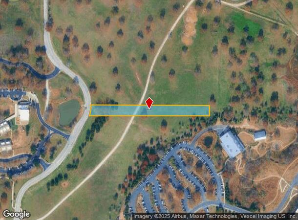
2760 J T Ottinger Rd, Westlake, TX 76262
NEARBY LISTINGS FOR SALE OR LEASE
Property Detail
2760 J T Ottinger Rd
Dallas-Fort Worth-Arlington, TX
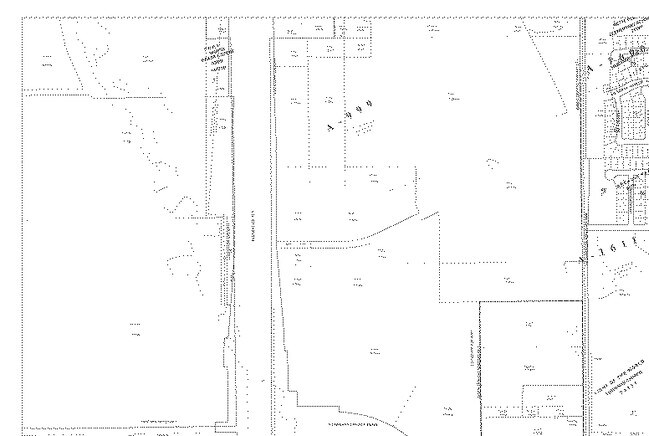
Bacon, John Survey
40097242
BACON, JOHN SURVEY ABSTRACT 2026 TRACT 1D
Timberlandforesttreesagricultural
Tarrant
X
Texas
48121C0655G
1.40 AC
2024
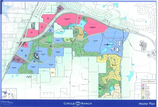
Westlake/Grapevine
2025
Dallas/Ft Worth
113953
DEMOGRAPHICS near 2760 J T Ottinger Rd
1 Mile
3 Mile
5 Mile
2024 Total Population
689
41,088
121,819
2029 Population
776
47,270
134,480
Pop Growth 2024-2029
+ 12.63%
+ 15.05%
+ 10.39%
Average Age
43
40
38
2024 Total Households
244
13,974
40,631
HH Growth 2024-2029
+ 13.11%
+ 15.82%
+ 10.98%
Median Household Inc
$150,625
$148,031
$133,841
Avg Household Size
2.80
2.90
3.00
2024 Avg HH Vehicles
2.00
2.00
2.00
Median Home Value
$486,289
$576,266
$484,275
Median Year Built
1985
2001
2003
Nearby Places
Map Layers
Map Styles
 Street
 Aerial
- Restaurants
- Banks
- Shops
- Fitness
- Groceries
PUBLIC TRANSPORTATION
AIRPORT
Dallas-Fort Worth International
DRIVE
WALK
Distance
Dallas-Fort Worth International
23 min
15.0 mi
Dallas Love Field
DRIVE
WALK
Distance
Dallas Love Field
41 min
28.7 mi
Freight Ports
Port of Shreveport
DRIVE
WALK
Distance
Port of Shreveport
251 min
228.5 mi
Nearby Properties
Address
Land Use
TOTAL SIZE
Lot Size
Zoning
Address
Land Use
TOTAL SIZE
Lot Size
Zoning
1,542,470 SF
147.33 AC
Address
Land Use
TOTAL SIZE
Lot Size
Zoning
1,213,448 SF
59.10 AC
Address
Land Use
TOTAL SIZE
Lot Size
Zoning
1,315,600 SF
106.95 AC
Address
Land Use
TOTAL SIZE
Lot Size
Zoning
413,316 SF
22.96 AC
Address
Land Use
TOTAL SIZE
Lot Size
Zoning
495,170 SF
14.02 AC
Address
Land Use
TOTAL SIZE
Lot Size
Zoning
819,327 SF
143.07 AC
Address
Land Use
TOTAL SIZE
Lot Size
Zoning
261,836 SF
33.32 AC
Address
Land Use
TOTAL SIZE
Lot Size
Zoning
261,836 SF
51.66 AC
Address
Land Use
TOTAL SIZE
Lot Size
Zoning
254,250 SF
6.21 AC
Address
Land Use
TOTAL SIZE
Lot Size
Zoning
1,603,686 SF
81.43 AC
Address
Land Use
TOTAL SIZE
Lot Size
Zoning
1,872,003 SF
52.16 AC
Address
Land Use
TOTAL SIZE
Lot Size
Zoning
1,420,661 SF
40.78 AC
Address
Land Use
TOTAL SIZE
Lot Size
Zoning
301,718 SF
18.12 AC
10 G
Address
Land Use
TOTAL SIZE
Lot Size
Zoning
1,010,969 SF
76.73 AC
Address
Land Use
TOTAL SIZE
Lot Size
Zoning
756,351 SF
33 AC
Address
Land Use
TOTAL SIZE
Lot Size
Zoning
291,475 SF
2.63 AC
Address
Land Use
TOTAL SIZE
Lot Size
Zoning
860,100 SF
40.02 AC
Address
Land Use
TOTAL SIZE
Lot Size
Zoning
756,351 SF
33 AC
Address
Land Use
TOTAL SIZE
Lot Size
Zoning
314,692 SF
78.63 AC
Address
Land Use
TOTAL SIZE
Lot Size
Zoning
371,473 SF
82.85 AC
Address
Land Use
TOTAL SIZE
Lot Size
Zoning
645,587 SF
12.57 AC
Address
Land Use
TOTAL SIZE
Lot Size
Zoning
756,180 SF
39.10 AC
Address
Land Use
TOTAL SIZE
Lot Size
Zoning
607,962 SF
36.39 AC
Address
Land Use
TOTAL SIZE
Lot Size
Zoning
611,932 SF
30.05 AC
Address
Land Use
TOTAL SIZE
Lot Size
Zoning
490,627 SF
27.53 AC
Address
Land Use
TOTAL SIZE
Lot Size
Zoning
557,161 SF
29.73 AC
Address
Land Use
TOTAL SIZE
Lot Size
Zoning
597,855 SF
Address
Land Use
TOTAL SIZE
Lot Size
Zoning
464,226 SF
18.69 AC
Address
Land Use
TOTAL SIZE
Lot Size
Zoning
450,000 SF
22.20 AC
Address
Land Use
TOTAL SIZE
Lot Size
Zoning
263,334 SF
38.93 AC
The World's #1 Commercial Real Estate Marketplace
Connect with us
© 2025 CoStar Group
The information above has been obtained from sources believed reliable. While we do not doubt its accuracy we have not verified it and make no guarantee, warranty or representation about it. It is your responsibility to independently confirm its accuracy and completeness. Any projections, opinions, assumptions, or estimates used are for example only and do not represent the current or future performance of the property. The value of this transaction to you depends on tax and other factors which should be evaluated by your tax, financial, and legal advisors. You and your advisors should conduct a careful, independent investigation of the property to determine to your satisfaction the suitability of the property for your needs.