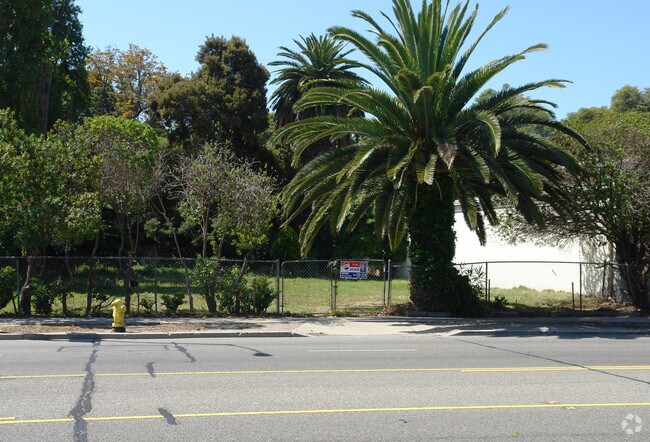
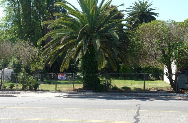
Property Record
132 E Thompson Blvd, Ventura, CA 93001


Property Detail
132 E Thompson Blvd
073-0-118-165
PR APN 0730118060
Commercialacreage
VENTURA
DC
California
B and X Area of moderate flood hazard, usually the area between the limits of the 100-year and 500-year floods.
0.18 AC
2024
Ventura
2025
Los Angeles
002400
Oxnard-Thousand Oaks-Ventura, CA
NEARBY LISTINGS FOR SALE OR LEASE
DEMOGRAPHICS near 132 E Thompson Blvd
1 mile
3 mile
5 mile
2024 Total Population
10,949
38,886
66,082
2029 Population
11,002
39,083
66,424
Pop Growth 2024-2029
+ 0.48%
+ 0.51%
+ 0.52%
Average Age
39
42
42
2024 Total Households
4,355
15,428
26,031
HH Growth 2024-2029
+ 0.64%
+ 0.53%
+ 0.53%
Median Household Inc
$68,038
$96,748
$95,500
Avg Household Size
2.40
2.40
2.40
2024 Avg HH Vehicles
1.00
2.00
2.00
Median Home Value
$853,464
$939,644
$846,695
Median Year Built
1966
1961
1967
Nearby Places
Map Layers
Map Styles
 Street
 Aerial
Transit
 Traffic
 Biking
Places
Listings with unknown addresses are not visible on the map
- Restaurants
- Banks
- Shops
- Fitness
- Groceries
PUBLIC TRANSPORTATION
COMMUTER RAIL
Drive
Walk
Distance
2 min
5 min
0.3 mi
Drive
Walk
Distance
10 min
6.6 mi
AIRPORT
Santa Barbara Municipal
Drive
Walk
Distance
Santa Barbara Municipal
45 min
37.4 mi
Freight Ports
The Port of Hueneme
Drive
Walk
Distance
The Port of Hueneme
22 min
12.9 mi
Nearby Properties
Address
Land Use
TOTAL SIZE
Lot Size
Zoning
Address
Land Use
TOTAL SIZE
Lot Size
Zoning
1.99 AC
Address
Land Use
TOTAL SIZE
Lot Size
Zoning
4.19 AC
H
Address
Land Use
TOTAL SIZE
Lot Size
Zoning
Address
Land Use
TOTAL SIZE
Lot Size
Zoning
49,296 SF
11.08 AC
Address
Land Use
TOTAL SIZE
Lot Size
Zoning
7,280 SF
5.38 AC
C-T-O
Address
Land Use
TOTAL SIZE
Lot Size
Zoning
6.81 AC
C-T-O
Address
Land Use
TOTAL SIZE
Lot Size
Zoning
2.89 AC
C-T-O
Address
Land Use
TOTAL SIZE
Lot Size
Zoning
25,401 SF
2.74 AC
C1AD
Address
Land Use
TOTAL SIZE
Lot Size
Zoning
639.79 AC
Address
Land Use
TOTAL SIZE
Lot Size
Zoning
7,993 SF
3.71 AC
C-T-O
Address
Land Use
TOTAL SIZE
Lot Size
Zoning
7,233 SF
7.39 AC
C1
Address
Land Use
TOTAL SIZE
Lot Size
Zoning
Address
Land Use
TOTAL SIZE
Lot Size
Zoning
62,306 SF
1.33 AC
Address
Land Use
TOTAL SIZE
Lot Size
Zoning
11,444 SF
6.57 AC
Address
Land Use
TOTAL SIZE
Lot Size
Zoning
42,655 SF
0.94 AC
Address
Land Use
TOTAL SIZE
Lot Size
Zoning
732 SF
0.51 AC
DR
Address
Land Use
TOTAL SIZE
Lot Size
Zoning
0.84 AC
Address
Land Use
TOTAL SIZE
Lot Size
Zoning
56,561 SF
14.56 AC
MPD
Address
Land Use
TOTAL SIZE
Lot Size
Zoning
57,554 SF
0.58 AC
Address
Land Use
TOTAL SIZE
Lot Size
Zoning
0.82 AC
POD
Address
Land Use
TOTAL SIZE
Lot Size
Zoning
Address
Land Use
TOTAL SIZE
Lot Size
Zoning
24,904 SF
1.13 AC
R3-2
Address
Land Use
TOTAL SIZE
Lot Size
Zoning
43,498 SF
1.67 AC
R33
Address
Land Use
TOTAL SIZE
Lot Size
Zoning
19,709 SF
0.14 AC
DC
Address
Land Use
TOTAL SIZE
Lot Size
Zoning
31,908 SF
1.11 AC
R3-2D
Address
Land Use
TOTAL SIZE
Lot Size
Zoning
19,431 SF
0.59 AC
DR
Address
Land Use
TOTAL SIZE
Lot Size
Zoning
18,217 SF
8.35 AC
C1AD
Address
Land Use
TOTAL SIZE
Lot Size
Zoning
38,456 SF
1.49 AC
R33
Address
Land Use
TOTAL SIZE
Lot Size
Zoning
1.33 AC
DC
The World's #1 Commercial Real Estate Marketplace
Connect with us
© 2026 CoStar Group
The information above has been obtained from sources believed reliable. While we do not doubt its accuracy we have not verified it and make no guarantee, warranty or representation about it. It is your responsibility to independently confirm its accuracy and completeness. Any projections, opinions, assumptions, or estimates used are for example only and do not represent the current or future performance of the property. The value of this transaction to you depends on tax and other factors which should be evaluated by your tax, financial, and legal advisors. You and your advisors should conduct a careful, independent investigation of the property to determine to your satisfaction the suitability of the property for your needs.