Property Record
28002 E State Route 410 E, Buckley, WA 98321
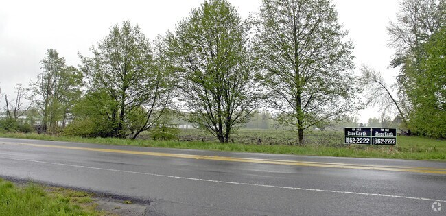

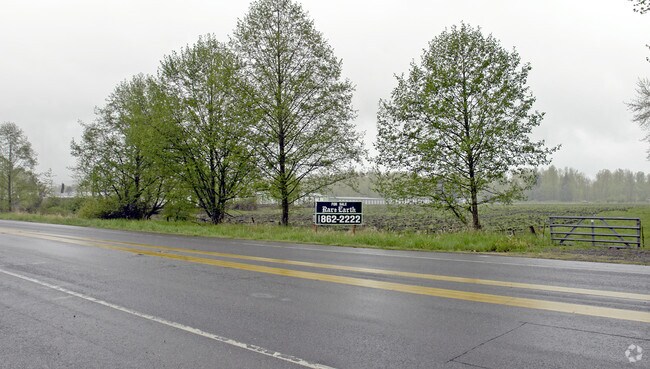
Property Detail
28002 E State Route 410 E
566500-0320
PORTION LOT42
Publicstorage
PIERCE
CG
Washington
B and X Area of moderate flood hazard, usually the area between the limits of the 100-year and 500-year floods.
42-44
2024
7.94 AC
2025
E Pierce County
070207
Seattle/Puget Sound
151,202 SF
Seattle-Tacoma-Bellevue, WA
NEARBY LISTINGS FOR SALE OR LEASE
DEMOGRAPHICS near 28002 E State Route 410 E
1 mile
3 mile
5 mile
2025 Total Population
600
12,212
49,376
2030 Population
596
12,344
50,777
Pop Growth 2025-2030
(0.67%)
+ 1.08%
+ 2.84%
Average Age
41
40
40
2025 Total Households
225
4,377
17,800
HH Growth 2025-2030
(0.89%)
+ 1.07%
+ 2.87%
Median Household Inc
$107,870
$121,353
$123,610
Avg Household Size
2.60
2.70
2.70
2025 Avg HH Vehicles
2.00
3.00
3.00
Median Home Value
$518,939
$609,140
$592,079
Median Year Built
1983
1989
1990
Nearby Places
Map Layers
Map Styles
 Street
 Aerial
Layers
 Traffic
 Biking
Places
Listings with unknown addresses are not visible on the map
- Restaurants
- Banks
- Shops
- Fitness
- Groceries
PUBLIC TRANSPORTATION
AIRPORT
Seattle-Tacoma International
Drive
Walk
Distance
Seattle-Tacoma International
50 min
31.6 mi
Nearby Properties
Address
Land Use
TOTAL SIZE
Lot Size
Zoning
Address
Land Use
TOTAL SIZE
Lot Size
Zoning
230,000 SF
54.30 AC
R10
Address
Land Use
TOTAL SIZE
Lot Size
Zoning
240,262 SF
47.07 AC
P
Address
Land Use
TOTAL SIZE
Lot Size
Zoning
184,250 SF
10.33 AC
Address
Land Use
TOTAL SIZE
Lot Size
Zoning
44,380 SF
253.26 AC
P
Address
Land Use
TOTAL SIZE
Lot Size
Zoning
47,375 SF
40.51 AC
P
Address
Land Use
TOTAL SIZE
Lot Size
Zoning
87,458 SF
5.10 AC
Address
Land Use
TOTAL SIZE
Lot Size
Zoning
2 SF
10.93 AC
NO DATA
Address
Land Use
TOTAL SIZE
Lot Size
Zoning
45,102 SF
19.53 AC
R10
Address
Land Use
TOTAL SIZE
Lot Size
Zoning
47,992 SF
3.49 AC
NMU
Address
Land Use
TOTAL SIZE
Lot Size
Zoning
64,530 SF
19.91 AC
R10
Address
Land Use
TOTAL SIZE
Lot Size
Zoning
79,848 SF
5.99 AC
LI
Address
Land Use
TOTAL SIZE
Lot Size
Zoning
48,905 SF
12.26 AC
R10
Address
Land Use
TOTAL SIZE
Lot Size
Zoning
44,013 SF
3.57 AC
CG
Address
Land Use
TOTAL SIZE
Lot Size
Zoning
27,727 SF
9.25 AC
NMU
Address
Land Use
TOTAL SIZE
Lot Size
Zoning
38,000 SF
2.62 AC
LI
Address
Land Use
TOTAL SIZE
Lot Size
Zoning
38,000 SF
2.60 AC
LI
Address
Land Use
TOTAL SIZE
Lot Size
Zoning
30,692 SF
4.58 AC
P
Address
Land Use
TOTAL SIZE
Lot Size
Zoning
20,373 SF
3.65 AC
BUCK
Address
Land Use
TOTAL SIZE
Lot Size
Zoning
16,060 SF
5.01 AC
R-6,000
Address
Land Use
TOTAL SIZE
Lot Size
Zoning
21,504 SF
1.40 AC
HDR
Address
Land Use
TOTAL SIZE
Lot Size
Zoning
40,000 SF
4.02 AC
LI
Address
Land Use
TOTAL SIZE
Lot Size
Zoning
29,446 SF
4.71 AC
R10
Address
Land Use
TOTAL SIZE
Lot Size
Zoning
24,142 SF
7.70 AC
CG
Address
Land Use
TOTAL SIZE
Lot Size
Zoning
1 SF
6.76 AC
R10
Address
Land Use
TOTAL SIZE
Lot Size
Zoning
17.62 AC
NO DATA
Address
Land Use
TOTAL SIZE
Lot Size
Zoning
1 SF
12 AC
P
Address
Land Use
TOTAL SIZE
Lot Size
Zoning
15,255 SF
1.68 AC
CG
Address
Land Use
TOTAL SIZE
Lot Size
Zoning
4,900 SF
64.18 AC
RA10
Address
Land Use
TOTAL SIZE
Lot Size
Zoning
19,592 SF
0.50 AC
CC
The World's #1 Commercial Real Estate Marketplace
Connect with us
© 2026 CoStar Group
The information above has been obtained from sources believed reliable. While we do not doubt its accuracy we have not verified it and make no guarantee, warranty or representation about it. It is your responsibility to independently confirm its accuracy and completeness. Any projections, opinions, assumptions, or estimates used are for example only and do not represent the current or future performance of the property. The value of this transaction to you depends on tax and other factors which should be evaluated by your tax, financial, and legal advisors. You and your advisors should conduct a careful, independent investigation of the property to determine to your satisfaction the suitability of the property for your needs.