Property Record
2808 State St, Carlsbad, CA 92008


Property Detail
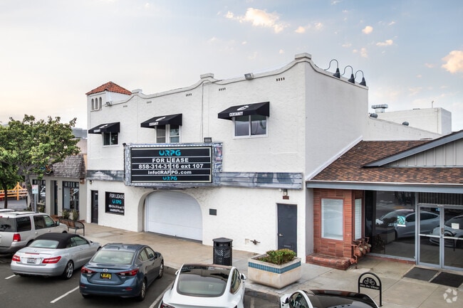
2808 State St
203-181-05
LOT 32 S 17.20 FT OF W 140 FT LOT 31 & N 32.80 FT OF W 140 FT IN TR 001722
Theater
San Diego
V-B
California
B and X Area of moderate flood hazard, usually the area between the limits of the 100-year and 500-year floods.
32,31
2024
0.15 AC
2025
Carlsbad
017901
San Diego
8,355 SF
San Diego-Chula Vista-Carlsbad, CA
NEARBY LISTINGS FOR SALE OR LEASE
DEMOGRAPHICS near 2808 State St
1 mile
3 mile
5 mile
2025 Total Population
13,300
69,647
175,090
2030 Population
13,552
70,367
177,004
Pop Growth 2025-2030
+ 1.89%
+ 1.03%
+ 1.09%
Average Age
42
42
41
2025 Total Households
6,093
28,729
66,365
HH Growth 2025-2030
+ 2.05%
+ 1.10%
+ 1.22%
Median Household Inc
$93,993
$99,981
$97,637
Avg Household Size
2.10
2.40
2.50
2025 Avg HH Vehicles
2.00
2.00
2.00
Median Home Value
$1,103,567
$1,044,839
$905,333
Median Year Built
1974
1978
1982
Nearby Places
Map Layers
Map Styles
 Street
 Aerial
Layers
 Traffic
 Biking
Places
Listings with unknown addresses are not visible on the map
- Restaurants
- Banks
- Shops
- Fitness
- Groceries
PUBLIC TRANSPORTATION
TRANSIT/SUBWAY
Carlsbad Village (Coaster - San Diego North County Transit District (Coaster/Sprinter/Breeze))
Drive
Walk
Distance
Carlsbad Village (Coaster - San Diego North County Transit District (Coaster/Sprinter/Breeze))
1 min
5 min
0.2 mi
COMMUTER RAIL
Carlsbad Village (Coaster - San Diego North County Transit District (Coaster/Sprinter/Breeze))
Drive
Walk
Distance
Carlsbad Village (Coaster - San Diego North County Transit District (Coaster/Sprinter/Breeze))
1 min
5 min
0.2 mi
Oceanside Transit Center (Orange County Line - Southern California Regional Rail Authority (Metrolink))
Drive
Walk
Distance
Oceanside Transit Center (Orange County Line - Southern California Regional Rail Authority (Metrolink))
9 min
3.1 mi
AIRPORT
San Diego International
Drive
Walk
Distance
San Diego International
42 min
33.0 mi
Freight Ports
Port of San Diego
Drive
Walk
Distance
Port of San Diego
48 min
37.5 mi
SALE & LEASE HISTORY
LISTING DATE
SALE/LEASE

Sep 11, 2024
For Sale
Mar 29, 2019
For Sale
Jun 26, 2018
For Sale
Jul 31, 2017
For Sale
Jul 26, 2017
For Sale
Jul 26, 2017
For Sale
Jan 08, 2025
For Sale
Dec 16, 2016
For Sale
Nearby Properties
Address
Land Use
TOTAL SIZE
Lot Size
Zoning
Address
Land Use
TOTAL SIZE
Lot Size
Zoning
59,518 SF
5.70 AC
P-U
Address
Land Use
TOTAL SIZE
Lot Size
Zoning
26.65 AC
C-2-Q
Address
Land Use
TOTAL SIZE
Lot Size
Zoning
1.38 AC
C
Address
Land Use
TOTAL SIZE
Lot Size
Zoning
15.25 AC
P-C
Address
Land Use
TOTAL SIZE
Lot Size
Zoning
12.71 AC
P-M
Address
Land Use
TOTAL SIZE
Lot Size
Zoning
16 AC
P-C
Address
Land Use
TOTAL SIZE
Lot Size
Zoning
1.38 AC
C
Address
Land Use
TOTAL SIZE
Lot Size
Zoning
9.65 AC
P-C
Address
Land Use
TOTAL SIZE
Lot Size
Zoning
4.26 AC
C-2
Address
Land Use
TOTAL SIZE
Lot Size
Zoning
20.86 AC
P-M-Q
Address
Land Use
TOTAL SIZE
Lot Size
Zoning
1.77 AC
C-2
Address
Land Use
TOTAL SIZE
Lot Size
Zoning
1.14 AC
C
Address
Land Use
TOTAL SIZE
Lot Size
Zoning
60.48 AC
OS
Address
Land Use
TOTAL SIZE
Lot Size
Zoning
85,000 SF
4.40 AC
CC
Address
Land Use
TOTAL SIZE
Lot Size
Zoning
19.51 AC
C-2-Q
Address
Land Use
TOTAL SIZE
Lot Size
Zoning
10.63 AC
RD-M
Address
Land Use
TOTAL SIZE
Lot Size
Zoning
1.02 AC
D-1
Address
Land Use
TOTAL SIZE
Lot Size
Zoning
2.30 AC
V-R
Address
Land Use
TOTAL SIZE
Lot Size
Zoning
95,418 SF
6.51 AC
P-C
Address
Land Use
TOTAL SIZE
Lot Size
Zoning
6.63 AC
RD-M
Address
Land Use
TOTAL SIZE
Lot Size
Zoning
57,905 SF
2.16 AC
R-3
Address
Land Use
TOTAL SIZE
Lot Size
Zoning
1.34 AC
V-B
Address
Land Use
TOTAL SIZE
Lot Size
Zoning
64,722 SF
2.17 AC
D-1
Address
Land Use
TOTAL SIZE
Lot Size
Zoning
6,024 SF
6.92 AC
VC
Address
Land Use
TOTAL SIZE
Lot Size
Zoning
65,359 SF
3.71 AC
C-2-Q
Address
Land Use
TOTAL SIZE
Lot Size
Zoning
81,712 SF
4.70 AC
P-M-Q
Address
Land Use
TOTAL SIZE
Lot Size
Zoning
9.59 AC
RD-M-Q
Address
Land Use
TOTAL SIZE
Lot Size
Zoning
59,587 SF
0.69 AC
V-R
Address
Land Use
TOTAL SIZE
Lot Size
Zoning
84,496 SF
5.09 AC
P-M-Q
Address
Land Use
TOTAL SIZE
Lot Size
Zoning
68,630 SF
1.30 AC
C-2
The World's #1 Commercial Real Estate Marketplace
Connect with us
© 2026 CoStar Group
The information above has been obtained from sources believed reliable. While we do not doubt its accuracy we have not verified it and make no guarantee, warranty or representation about it. It is your responsibility to independently confirm its accuracy and completeness. Any projections, opinions, assumptions, or estimates used are for example only and do not represent the current or future performance of the property. The value of this transaction to you depends on tax and other factors which should be evaluated by your tax, financial, and legal advisors. You and your advisors should conduct a careful, independent investigation of the property to determine to your satisfaction the suitability of the property for your needs.