Property Record
281 Union Mill Rd, La Crosse, VA 23950
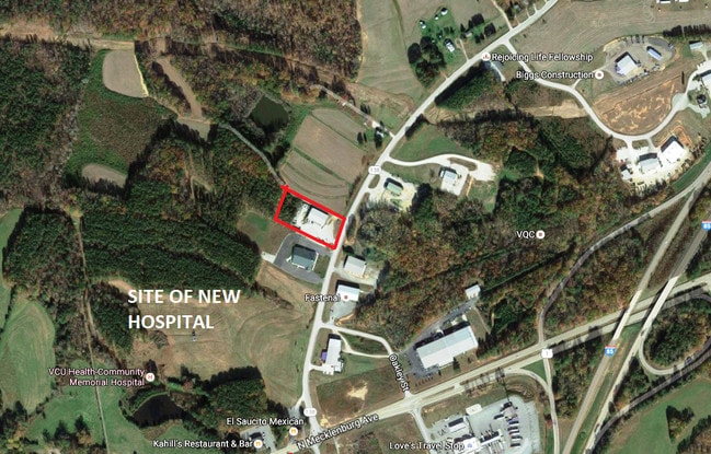

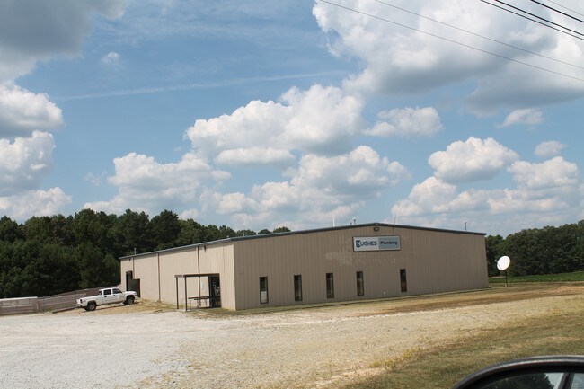
Property Detail
281 Union Mill Rd
Multipleuses
LOT - MOSELEY
C2
Mecklenburg
B and X Area of moderate flood hazard, usually the area between the limits of the 100-year and 500-year floods.
Virginia
2025
3 AC
2025
Virginia South Central
930201
Other Market Areas
10,000 SF
28503
NEARBY LISTINGS FOR SALE OR LEASE
-
-
View all La Crosse listings for sale on LoopNet.com
DEMOGRAPHICS near 281 Union Mill Rd
1 mile
3 mile
5 mile
2025 Total Population
126
4,971
7,702
2030 Population
124
4,976
7,674
Pop Growth 2025-2030
(1.59%)
+ 0.10%
(0.36%)
Average Age
44
43
43
2025 Total Households
56
2,172
3,330
HH Growth 2025-2030
(1.79%)
0.00%
(0.42%)
Median Household Inc
$48,124
$46,456
$47,500
Avg Household Size
2.20
2.20
2.20
2025 Avg HH Vehicles
2.00
2.00
2.00
Median Home Value
$219,231
$206,968
$182,583
Median Year Built
1978
1977
1977
Nearby Places
Map Layers
Map Styles
 Street
 Aerial
Transit
 Traffic
 Biking
Places
Listings with unknown addresses are not visible on the map
- Restaurants
- Banks
- Shops
- Fitness
- Groceries
SALE & LEASE HISTORY
LISTING DATE
SALE/LEASE

Apr 24, 2017
For Sale
Nearby Properties
Address
Land Use
TOTAL SIZE
Lot Size
Zoning
Address
Land Use
TOTAL SIZE
Lot Size
Zoning
121.01 AC
IP
Address
Land Use
TOTAL SIZE
Lot Size
Zoning
280,787 SF
74.04 AC
OM
Address
Land Use
TOTAL SIZE
Lot Size
Zoning
166,937 SF
4.73 AC
OM
Address
Land Use
TOTAL SIZE
Lot Size
Zoning
41,092 SF
1.63 AC
C2
Address
Land Use
TOTAL SIZE
Lot Size
Zoning
125,927 SF
12.61 AC
C2
Address
Land Use
TOTAL SIZE
Lot Size
Zoning
106,425 SF
10.10 AC
C2
Address
Land Use
TOTAL SIZE
Lot Size
Zoning
183,865 SF
31.74 AC
C2
Address
Land Use
TOTAL SIZE
Lot Size
Zoning
45,412 SF
2.30 AC
C2
Address
Land Use
TOTAL SIZE
Lot Size
Zoning
4,114 SF
12.34 AC
216
Address
Land Use
TOTAL SIZE
Lot Size
Zoning
35,066 SF
2.98 AC
MX-3
Address
Land Use
TOTAL SIZE
Lot Size
Zoning
9,610 SF
1.41 AC
C2
Address
Land Use
TOTAL SIZE
Lot Size
Zoning
11,770 SF
26.60 AC
C2
Address
Land Use
TOTAL SIZE
Lot Size
Zoning
18,062 SF
2.82 AC
C2
Address
Land Use
TOTAL SIZE
Lot Size
Zoning
26,226 SF
1.39 AC
C2
Address
Land Use
TOTAL SIZE
Lot Size
Zoning
30,007 SF
2.31 AC
C2
Address
Land Use
TOTAL SIZE
Lot Size
Zoning
24,648 SF
2.04 AC
C2
Address
Land Use
TOTAL SIZE
Lot Size
Zoning
27,125 SF
6.92 AC
C2
Address
Land Use
TOTAL SIZE
Lot Size
Zoning
23,314 SF
2.51 AC
OM
Address
Land Use
TOTAL SIZE
Lot Size
Zoning
9,860 SF
2.88 AC
C2
Address
Land Use
TOTAL SIZE
Lot Size
Zoning
18,484 SF
3.49 AC
C2
Address
Land Use
TOTAL SIZE
Lot Size
Zoning
4,180 SF
3.46 AC
C1
Address
Land Use
TOTAL SIZE
Lot Size
Zoning
35,681 SF
2.93 AC
C2
Address
Land Use
TOTAL SIZE
Lot Size
Zoning
68,232 SF
3.66 AC
C2
Address
Land Use
TOTAL SIZE
Lot Size
Zoning
5,688 SF
5.09 AC
IG
Address
Land Use
TOTAL SIZE
Lot Size
Zoning
4,620 SF
6.70 AC
216
Address
Land Use
TOTAL SIZE
Lot Size
Zoning
7,688 SF
91.48 AC
R1
Address
Land Use
TOTAL SIZE
Lot Size
Zoning
15,654 SF
9.18 AC
C2
Address
Land Use
TOTAL SIZE
Lot Size
Zoning
2,625 SF
1.19 AC
C2
Address
Land Use
TOTAL SIZE
Lot Size
Zoning
16,196 SF
3.67 AC
C2
Address
Land Use
TOTAL SIZE
Lot Size
Zoning
75,429 SF
7.77 AC
C2
The World's #1 Commercial Real Estate Marketplace
Connect with us
© 2026 CoStar Group
The information above has been obtained from sources believed reliable. While we do not doubt its accuracy we have not verified it and make no guarantee, warranty or representation about it. It is your responsibility to independently confirm its accuracy and completeness. Any projections, opinions, assumptions, or estimates used are for example only and do not represent the current or future performance of the property. The value of this transaction to you depends on tax and other factors which should be evaluated by your tax, financial, and legal advisors. You and your advisors should conduct a careful, independent investigation of the property to determine to your satisfaction the suitability of the property for your needs.