Property Record
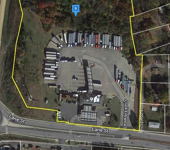
2817 Lane St, Kannapolis, NC 28083

NEARBY LISTINGS FOR SALE OR LEASE
Property Detail
2817 Lane St
Charlotte-Concord-Gastonia, NC-SC
I85 At Lane Street
5634-50-3358-0000
PART LOTS 67,80&81
Restaurantdrivein
Cabarrus
X
North Carolina
3710563300K
1-23
2025
14.99 AC
2025
Cabarrus County
040705
Charlotte
6,312 SF
DEMOGRAPHICS near 2817 Lane St
1 Mile
3 Mile
5 Mile
2024 Total Population
1,134
19,336
64,989
2029 Population
1,238
21,344
71,911
Pop Growth 2024-2029
+ 9.17%
+ 10.38%
+ 10.65%
Average Age
41
40
39
2024 Total Households
442
7,407
25,381
HH Growth 2024-2029
+ 8.37%
+ 9.41%
+ 9.74%
Median Household Inc
$65,227
$61,769
$56,371
Avg Household Size
2.50
2.60
2.50
2024 Avg HH Vehicles
2.00
2.00
2.00
Median Home Value
$210,360
$176,329
$179,584
Median Year Built
1992
1986
1978
Nearby Places
Map Layers
Map Styles
 Street
 Aerial
- Restaurants
- Banks
- Shops
- Fitness
- Groceries
PUBLIC TRANSPORTATION
COMMUTER RAIL
Kannapolis Station (Piedmont - North Carolina by Train (NC Train))
DRIVE
WALK
Distance
Kannapolis Station (Piedmont - North Carolina by Train (NC Train))
11 min
4.5 mi
AIRPORT
Concord-Padgett Regional
DRIVE
WALK
Distance
Concord-Padgett Regional
21 min
14.3 mi
Charlotte/Douglas International
DRIVE
WALK
Distance
Charlotte/Douglas International
47 min
34.6 mi
Freight Ports
Port of Wilmington
DRIVE
WALK
Distance
Port of Wilmington
263 min
202.9 mi
Nearby Properties
Address
Land Use
TOTAL SIZE
Lot Size
Zoning
Address
Land Use
TOTAL SIZE
Lot Size
Zoning
728,000 SF
51.80 AC
Address
Land Use
TOTAL SIZE
Lot Size
Zoning
754,000 SF
56.52 AC
I1-CZ
Address
Land Use
TOTAL SIZE
Lot Size
Zoning
297,600 SF
16.28 AC
Address
Land Use
TOTAL SIZE
Lot Size
Zoning
279,000 SF
23.48 AC
Address
Land Use
TOTAL SIZE
Lot Size
Zoning
33,728 SF
14.29 AC
GC
Address
Land Use
TOTAL SIZE
Lot Size
Zoning
128,280 SF
10.82 AC
Address
Land Use
TOTAL SIZE
Lot Size
Zoning
68,257 SF
8.26 AC
R8
Address
Land Use
TOTAL SIZE
Lot Size
Zoning
134,363 SF
14.54 AC
C-2
Address
Land Use
TOTAL SIZE
Lot Size
Zoning
50,591 SF
2.41 AC
C-2
Address
Land Use
TOTAL SIZE
Lot Size
Zoning
22,898 SF
10 AC
R18
Address
Land Use
TOTAL SIZE
Lot Size
Zoning
193,301 SF
22.50 AC
C-2
Address
Land Use
TOTAL SIZE
Lot Size
Zoning
50,749 SF
1.85 AC
C-2
Address
Land Use
TOTAL SIZE
Lot Size
Zoning
84,608 SF
23.75 AC
R8
Address
Land Use
TOTAL SIZE
Lot Size
Zoning
73,524 SF
8.64 AC
GC
Address
Land Use
TOTAL SIZE
Lot Size
Zoning
23,246 SF
9.76 AC
C-2
Address
Land Use
TOTAL SIZE
Lot Size
Zoning
48,158 SF
1.54 AC
C-2
Address
Land Use
TOTAL SIZE
Lot Size
Zoning
15,141 SF
22.29 AC
R4
Address
Land Use
TOTAL SIZE
Lot Size
Zoning
83,701 SF
2.99 AC
R4
Address
Land Use
TOTAL SIZE
Lot Size
Zoning
2,200 SF
10.81 AC
R4
Address
Land Use
TOTAL SIZE
Lot Size
Zoning
504 SF
196.07 AC
OI
Address
Land Use
TOTAL SIZE
Lot Size
Zoning
37,300 SF
20.95 AC
RM2:MULTI
Address
Land Use
TOTAL SIZE
Lot Size
Zoning
10,216 SF
10.18 AC
C-2
Address
Land Use
TOTAL SIZE
Lot Size
Zoning
29,884 SF
1.87 AC
C-2
Address
Land Use
TOTAL SIZE
Lot Size
Zoning
16,100 SF
4.06 AC
GC
Address
Land Use
TOTAL SIZE
Lot Size
Zoning
8,820 SF
16.83 AC
C-2
Address
Land Use
TOTAL SIZE
Lot Size
Zoning
34,850 SF
8.11 AC
GC
Address
Land Use
TOTAL SIZE
Lot Size
Zoning
72,726 SF
7.14 AC
GC
Address
Land Use
TOTAL SIZE
Lot Size
Zoning
19,718 SF
10.92 AC
R8
Address
Land Use
TOTAL SIZE
Lot Size
Zoning
14,445 SF
4.26 AC
GC
Address
Land Use
TOTAL SIZE
Lot Size
Zoning
22,955 SF
2.41 AC
C-2
The World's #1 Commercial Real Estate Marketplace
Connect with us
© 2025 CoStar Group
The information above has been obtained from sources believed reliable. While we do not doubt its accuracy we have not verified it and make no guarantee, warranty or representation about it. It is your responsibility to independently confirm its accuracy and completeness. Any projections, opinions, assumptions, or estimates used are for example only and do not represent the current or future performance of the property. The value of this transaction to you depends on tax and other factors which should be evaluated by your tax, financial, and legal advisors. You and your advisors should conduct a careful, independent investigation of the property to determine to your satisfaction the suitability of the property for your needs.