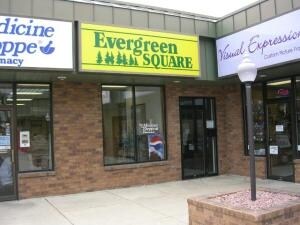
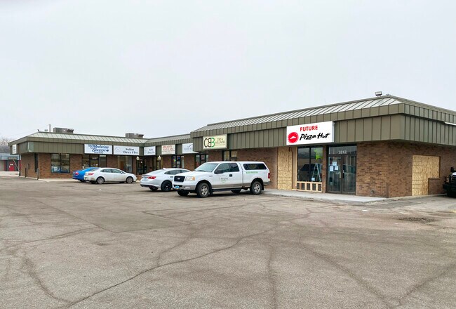
Property Record
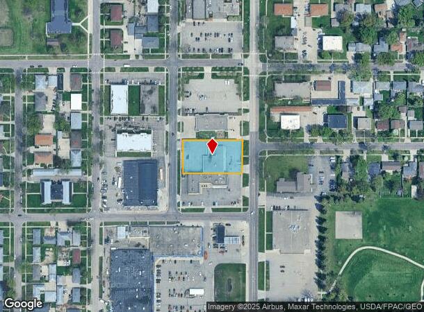
2820 Broadway N, Fargo, ND 58102
NEARBY LISTINGS FOR SALE OR LEASE
Property Detail
2820 Broadway N
01-4181-00025-000
Laurence Yunker 1St
Realpropertynec
LOT: 5 BLOCK: 1 ADDITION: LAURENCE YUNKER 1ST ADDITIONAL: LAWRENCE YUNKER 1 LOTS 5 6 11 & 12 BLK 1
X
Cass
38017C0591G
North Dakota
2024
0.67 AC
2024
Northport
000204
Other Market Areas
7,200 SF
Fargo, ND-MN
DEMOGRAPHICS near 2820 Broadway N
1 Mile
3 Mile
5 Mile
2024 Total Population
12,831
46,818
104,546
2029 Population
13,624
49,507
110,052
Pop Growth 2024-2029
+ 6.18%
+ 5.74%
+ 5.27%
Average Age
39
36
37
2024 Total Households
5,483
19,914
45,001
HH Growth 2024-2029
+ 7.44%
+ 7.09%
+ 6.16%
Median Household Inc
$58,186
$48,507
$53,406
Avg Household Size
2.00
2.00
2.10
2024 Avg HH Vehicles
2.00
2.00
2.00
Median Home Value
$234,689
$215,929
$216,701
Median Year Built
1972
1970
1973
Nearby Places
Map Layers
Map Styles
 Street
 Aerial
- Restaurants
- Banks
- Shops
- Fitness
- Groceries
PUBLIC TRANSPORTATION
COMMUTER RAIL
Fargo Amtrak Station (Empire Builder - Amtrak)
DRIVE
WALK
Distance
Fargo Amtrak Station (Empire Builder - Amtrak)
6 min
2.4 mi
AIRPORT
Hector International
DRIVE
WALK
Distance
Hector International
4 min
1.6 mi
Freight Ports
Port Milwaukee
DRIVE
WALK
Distance
Port Milwaukee
634 min
574.5 mi
SALE & LEASE HISTORY
LISTING DATE
SALE/LEASE

Jun 22, 2021
For Lease
Jan 15, 2019
For Lease
Feb 07, 2024
For Lease
Nearby Properties
Address
Land Use
TOTAL SIZE
Lot Size
Zoning
Address
Land Use
TOTAL SIZE
Lot Size
Zoning
17.38 AC
Address
Land Use
TOTAL SIZE
Lot Size
Zoning
41.38 AC
Address
Land Use
TOTAL SIZE
Lot Size
Zoning
14.53 AC
Address
Land Use
TOTAL SIZE
Lot Size
Zoning
12.07 AC
Address
Land Use
TOTAL SIZE
Lot Size
Zoning
107,995 SF
1 AC
DMU
Address
Land Use
TOTAL SIZE
Lot Size
Zoning
5.23 AC
Address
Land Use
TOTAL SIZE
Lot Size
Zoning
3.31 AC
Address
Land Use
TOTAL SIZE
Lot Size
Zoning
0.17 AC
Address
Land Use
TOTAL SIZE
Lot Size
Zoning
73.98 AC
Address
Land Use
TOTAL SIZE
Lot Size
Zoning
109,174 SF
1.25 AC
UMU
Address
Land Use
TOTAL SIZE
Lot Size
Zoning
2.07 AC
Address
Land Use
TOTAL SIZE
Lot Size
Zoning
12.33 AC
PAC
Address
Land Use
TOTAL SIZE
Lot Size
Zoning
303,970 SF
49.72 AC
GI
Address
Land Use
TOTAL SIZE
Lot Size
Zoning
10.87 AC
Address
Land Use
TOTAL SIZE
Lot Size
Zoning
Address
Land Use
TOTAL SIZE
Lot Size
Zoning
6.84 AC
Address
Land Use
TOTAL SIZE
Lot Size
Zoning
Address
Land Use
TOTAL SIZE
Lot Size
Zoning
106,250 SF
1.25 AC
DMU
Address
Land Use
TOTAL SIZE
Lot Size
Zoning
242,032 SF
14.23 AC
GI
Address
Land Use
TOTAL SIZE
Lot Size
Zoning
17,309 SF
0.23 AC
DMU
Address
Land Use
TOTAL SIZE
Lot Size
Zoning
61,159 SF
0.96 AC
DMU
Address
Land Use
TOTAL SIZE
Lot Size
Zoning
2.26 AC
Address
Land Use
TOTAL SIZE
Lot Size
Zoning
1.95 AC
DMU
Address
Land Use
TOTAL SIZE
Lot Size
Zoning
247,888 SF
15.13 AC
GI
Address
Land Use
TOTAL SIZE
Lot Size
Zoning
0.95 AC
Address
Land Use
TOTAL SIZE
Lot Size
Zoning
230,260 SF
10.48 AC
GI
Address
Land Use
TOTAL SIZE
Lot Size
Zoning
3.59 AC
GI
Address
Land Use
TOTAL SIZE
Lot Size
Zoning
286,296 SF
18.30 AC
LI
Address
Land Use
TOTAL SIZE
Lot Size
Zoning
60,847 SF
2.94 AC
Address
Land Use
TOTAL SIZE
Lot Size
Zoning
60,847 SF
3.75 AC
MR3
The World's #1 Commercial Real Estate Marketplace
Connect with us
© 2025 CoStar Group
The information above has been obtained from sources believed reliable. While we do not doubt its accuracy we have not verified it and make no guarantee, warranty or representation about it. It is your responsibility to independently confirm its accuracy and completeness. Any projections, opinions, assumptions, or estimates used are for example only and do not represent the current or future performance of the property. The value of this transaction to you depends on tax and other factors which should be evaluated by your tax, financial, and legal advisors. You and your advisors should conduct a careful, independent investigation of the property to determine to your satisfaction the suitability of the property for your needs.