Property Record
2820 Peyton Dr, Montrose, CO 81401


Property Detail
2820 Peyton Dr
Montrose, CO
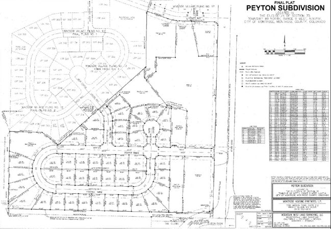
SUBD: PEYTON SUBD OUTLOT A AND TRACT 3 OPEN SPACE S: 35 T: 49 R: 9
R0019083
MONTROSE
Religious
Colorado
B and X Area of moderate flood hazard, usually the area between the limits of the 100-year and 500-year floods.
a
0
2.06 AC
2024
Colorado Southwest Area
966502
Other Market Areas
7,042 SF
NEARBY LISTINGS FOR SALE OR LEASE
DEMOGRAPHICS near 2820 Peyton Dr
1 mile
3 mile
5 mile
2024 Total Population
5,428
21,834
30,370
2029 Population
5,688
22,807
31,804
Pop Growth 2024-2029
+ 4.79%
+ 4.46%
+ 4.72%
Average Age
46
44
44
2024 Total Households
2,371
9,440
12,729
HH Growth 2024-2029
+ 4.89%
+ 4.49%
+ 4.74%
Median Household Inc
$78,801
$71,792
$71,492
Avg Household Size
2.20
2.30
2.30
2024 Avg HH Vehicles
2.00
2.00
2.00
Median Home Value
$432,702
$393,205
$383,363
Median Year Built
2001
1992
1993
Nearby Places
Map Layers
Map Styles
 Street
 Aerial
Transit
 Traffic
 Biking
Places
Listings with unknown addresses are not visible on the map
- Restaurants
- Banks
- Shops
- Fitness
- Groceries
PUBLIC TRANSPORTATION
AIRPORT
Montrose Regional
Drive
Walk
Distance
Montrose Regional
17 min
6.9 mi
Nearby Properties
Address
Land Use
TOTAL SIZE
Lot Size
Zoning
Address
Land Use
TOTAL SIZE
Lot Size
Zoning
229,488 SF
Address
Land Use
TOTAL SIZE
Lot Size
Zoning
82,754 SF
21.29 AC
Address
Land Use
TOTAL SIZE
Lot Size
Zoning
104,240 SF
29.39 AC
Address
Land Use
TOTAL SIZE
Lot Size
Zoning
84,927 SF
15.45 AC
Address
Land Use
TOTAL SIZE
Lot Size
Zoning
83,990 SF
Address
Land Use
TOTAL SIZE
Lot Size
Zoning
93,240 SF
8.32 AC
Address
Land Use
TOTAL SIZE
Lot Size
Zoning
17,872 SF
2 AC
Address
Land Use
TOTAL SIZE
Lot Size
Zoning
52,533 SF
3.73 AC
Address
Land Use
TOTAL SIZE
Lot Size
Zoning
204,041 SF
17.30 AC
Address
Land Use
TOTAL SIZE
Lot Size
Zoning
63,757 SF
2.14 AC
Address
Land Use
TOTAL SIZE
Lot Size
Zoning
9,607 SF
17.78 AC
Address
Land Use
TOTAL SIZE
Lot Size
Zoning
128,307 SF
10.88 AC
Address
Land Use
TOTAL SIZE
Lot Size
Zoning
48,096 SF
33.43 AC
B2
Address
Land Use
TOTAL SIZE
Lot Size
Zoning
68,768 SF
7.73 AC
Address
Land Use
TOTAL SIZE
Lot Size
Zoning
33,554 SF
10 AC
Address
Land Use
TOTAL SIZE
Lot Size
Zoning
23,617 SF
16.03 AC
Address
Land Use
TOTAL SIZE
Lot Size
Zoning
13,091 SF
0.86 AC
MR
Address
Land Use
TOTAL SIZE
Lot Size
Zoning
250,620 SF
21.70 AC
Address
Land Use
TOTAL SIZE
Lot Size
Zoning
97,056 SF
11.51 AC
Address
Land Use
TOTAL SIZE
Lot Size
Zoning
34,032 SF
1.56 AC
Address
Land Use
TOTAL SIZE
Lot Size
Zoning
26,915 SF
8.51 AC
Address
Land Use
TOTAL SIZE
Lot Size
Zoning
38,566 SF
2 AC
Address
Land Use
TOTAL SIZE
Lot Size
Zoning
11,599 SF
19.56 AC
Address
Land Use
TOTAL SIZE
Lot Size
Zoning
44,918 SF
4.49 AC
Address
Land Use
TOTAL SIZE
Lot Size
Zoning
48,396 SF
7.94 AC
Address
Land Use
TOTAL SIZE
Lot Size
Zoning
18,441 SF
1.87 AC
Address
Land Use
TOTAL SIZE
Lot Size
Zoning
18,074 SF
8.70 AC
Address
Land Use
TOTAL SIZE
Lot Size
Zoning
8,778 SF
4.36 AC
Address
Land Use
TOTAL SIZE
Lot Size
Zoning
16,745 SF
2.28 AC
Address
Land Use
TOTAL SIZE
Lot Size
Zoning
72,270 SF
17.24 AC
The World's #1 Commercial Real Estate Marketplace
Connect with us
© 2026 CoStar Group
The information above has been obtained from sources believed reliable. While we do not doubt its accuracy we have not verified it and make no guarantee, warranty or representation about it. It is your responsibility to independently confirm its accuracy and completeness. Any projections, opinions, assumptions, or estimates used are for example only and do not represent the current or future performance of the property. The value of this transaction to you depends on tax and other factors which should be evaluated by your tax, financial, and legal advisors. You and your advisors should conduct a careful, independent investigation of the property to determine to your satisfaction the suitability of the property for your needs.