Property Record
2840 Willow Rd, Homewood, IL 60430

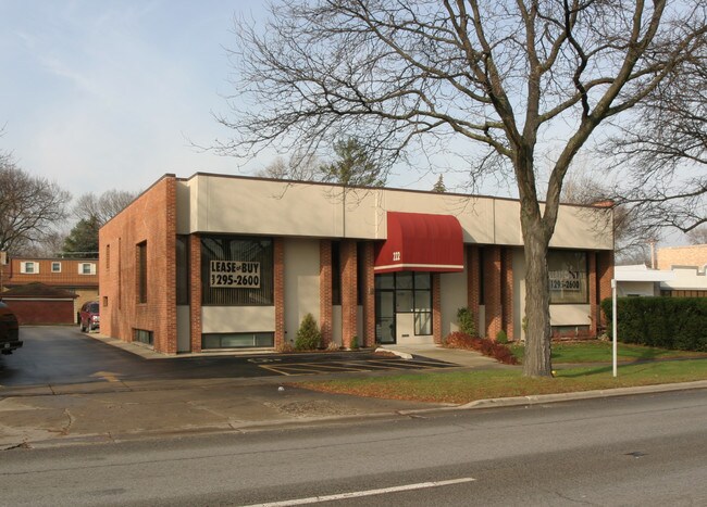

NEARBY LISTINGS FOR SALE OR LEASE
Property Detail
2840 Willow Rd
04-20-200-014-0000
Cook
Vacantlandnec
Illinois
X
1.70 AC
17031C0226J
Near North
2023
Chicago
2025
Chicago-Naperville-Elgin, IL-IN
829800
DEMOGRAPHICS near 2840 Willow Rd
1 Mile
3 Mile
5 Mile
2024 Total Population
13,943
140,641
371,393
2029 Population
13,523
136,671
361,235
Pop Growth 2024-2029
(3.01%)
(2.82%)
(2.74%)
Average Age
43
44
43
2024 Total Households
4,950
51,445
136,844
HH Growth 2024-2029
(3.21%)
(3.14%)
(3.02%)
Median Household Inc
$118,111
$90,001
$99,468
Avg Household Size
2.70
2.60
2.60
2024 Avg HH Vehicles
2.00
2.00
2.00
Median Home Value
$455,733
$376,217
$422,234
Median Year Built
1958
1964
1962
Nearby Places
Map Layers
Map Styles
 Street
 Aerial
- Restaurants
- Banks
- Shops
- Fitness
- Groceries
PUBLIC TRANSPORTATION
COMMUTER RAIL
Homewood Station (Metra Electric Line - Northeast Illinois Regional Commuter Railroad (Metra))
DRIVE
WALK
Distance
Homewood Station (Metra Electric Line - Northeast Illinois Regional Commuter Railroad (Metra))
4 min
1.5 mi
Flossmoor Station (Metra Electric Line - Northeast Illinois Regional Commuter Railroad (Metra))
DRIVE
WALK
Distance
Flossmoor Station (Metra Electric Line - Northeast Illinois Regional Commuter Railroad (Metra))
5 min
1.5 mi
AIRPORT
Chicago Midway International
DRIVE
WALK
Distance
Chicago Midway International
32 min
20.5 mi
Freight Ports
Port Milwaukee
DRIVE
WALK
Distance
Port Milwaukee
138 min
114.0 mi
Nearby Properties
Address
Land Use
TOTAL SIZE
Lot Size
Zoning
Address
Land Use
TOTAL SIZE
Lot Size
Zoning
Address
Land Use
TOTAL SIZE
Lot Size
Zoning
6.19 AC
Address
Land Use
TOTAL SIZE
Lot Size
Zoning
Address
Land Use
TOTAL SIZE
Lot Size
Zoning
Address
Land Use
TOTAL SIZE
Lot Size
Zoning
194,292 SF
21.10 AC
Address
Land Use
TOTAL SIZE
Lot Size
Zoning
1,033,450 SF
Address
Land Use
TOTAL SIZE
Lot Size
Zoning
244,665 SF
9.05 AC
Address
Land Use
TOTAL SIZE
Lot Size
Zoning
78,884 SF
5.60 AC
Address
Land Use
TOTAL SIZE
Lot Size
Zoning
203,995 SF
20.27 AC
Address
Land Use
TOTAL SIZE
Lot Size
Zoning
Address
Land Use
TOTAL SIZE
Lot Size
Zoning
1,201 SF
3.65 AC
Address
Land Use
TOTAL SIZE
Lot Size
Zoning
31,952 SF
4.03 AC
Address
Land Use
TOTAL SIZE
Lot Size
Zoning
2.94 AC
Address
Land Use
TOTAL SIZE
Lot Size
Zoning
231,296 SF
10.91 AC
Address
Land Use
TOTAL SIZE
Lot Size
Zoning
196,125 SF
18.55 AC
Address
Land Use
TOTAL SIZE
Lot Size
Zoning
52,220 SF
6 AC
Address
Land Use
TOTAL SIZE
Lot Size
Zoning
62,380 SF
4.65 AC
Address
Land Use
TOTAL SIZE
Lot Size
Zoning
3.65 AC
Address
Land Use
TOTAL SIZE
Lot Size
Zoning
Address
Land Use
TOTAL SIZE
Lot Size
Zoning
27,082 SF
0.69 AC
Address
Land Use
TOTAL SIZE
Lot Size
Zoning
Address
Land Use
TOTAL SIZE
Lot Size
Zoning
Address
Land Use
TOTAL SIZE
Lot Size
Zoning
125,535 SF
9.44 AC
Address
Land Use
TOTAL SIZE
Lot Size
Zoning
Address
Land Use
TOTAL SIZE
Lot Size
Zoning
Address
Land Use
TOTAL SIZE
Lot Size
Zoning
85,220 SF
7.10 AC
Address
Land Use
TOTAL SIZE
Lot Size
Zoning
115,250 SF
10.75 AC
Address
Land Use
TOTAL SIZE
Lot Size
Zoning
111,902 SF
8.60 AC
Address
Land Use
TOTAL SIZE
Lot Size
Zoning
Address
Land Use
TOTAL SIZE
Lot Size
Zoning
6.21 AC
The World's #1 Commercial Real Estate Marketplace
Connect with us
© 2026 CoStar Group
The information above has been obtained from sources believed reliable. While we do not doubt its accuracy we have not verified it and make no guarantee, warranty or representation about it. It is your responsibility to independently confirm its accuracy and completeness. Any projections, opinions, assumptions, or estimates used are for example only and do not represent the current or future performance of the property. The value of this transaction to you depends on tax and other factors which should be evaluated by your tax, financial, and legal advisors. You and your advisors should conduct a careful, independent investigation of the property to determine to your satisfaction the suitability of the property for your needs.