Property Record
0 Carroll Dr, Jacksonville, FL 32209
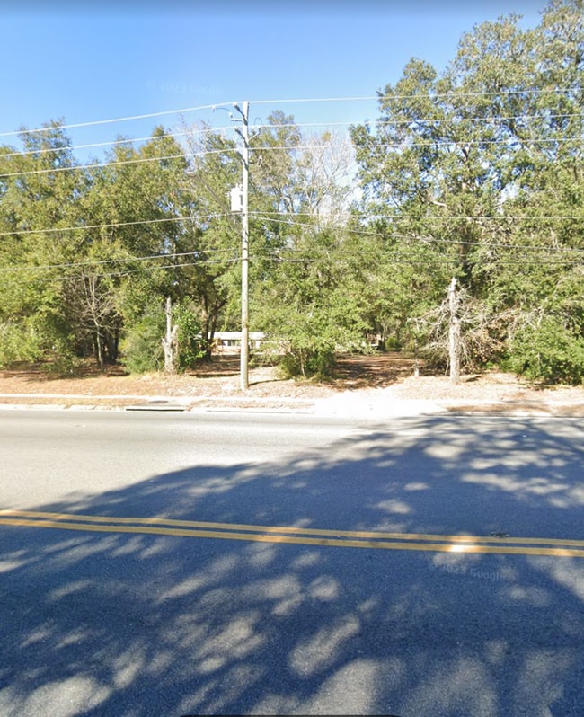
This Property Is For Sale
NEARBY LISTINGS FOR SALE OR LEASE
Property Detail
0 Carroll Dr
Jacksonville, FL
Section Land
040103-0010
3-85 43-1S-26E .36 SIMMONS S/D PT LOT 25 RECD O/R 12210-1180 BEING PARCEL D
Marshland
Duval
X
Florida
12031C0189J
25
2025
0.34 AC
2026
Northwest Jacksonville
002801
Jacksonville (Florida)
DEMOGRAPHICS near 0 Carroll Dr
1 Mile
3 Mile
5 Mile
2024 Total Population
9,023
73,404
170,522
2029 Population
9,500
77,609
181,259
Pop Growth 2024-2029
+ 5.29%
+ 5.73%
+ 6.30%
Average Age
40
39
39
2024 Total Households
3,516
28,092
68,291
HH Growth 2024-2029
+ 5.32%
+ 5.82%
+ 6.55%
Median Household Inc
$35,470
$33,025
$37,211
Avg Household Size
2.50
2.50
2.40
2024 Avg HH Vehicles
1.00
1.00
1.00
Median Home Value
$84,016
$98,929
$141,373
Median Year Built
1962
1963
1963
Nearby Places
Map Layers
Map Styles
 Street
 Aerial
- Restaurants
- Banks
- Shops
- Fitness
- Groceries
PUBLIC TRANSPORTATION
COMMUTER RAIL
Jacksonville (Silver Meteor - Amtrak, Silver Star - Amtrak)
DRIVE
WALK
Distance
Jacksonville (Silver Meteor - Amtrak, Silver Star - Amtrak)
4 min
1.5 mi
AIRPORT
Jacksonville International
DRIVE
WALK
Distance
Jacksonville International
23 min
13.2 mi
Freight Ports
Jacksonville Port
DRIVE
WALK
Distance
Jacksonville Port
14 min
6.9 mi
Nearby Properties
Address
Land Use
TOTAL SIZE
Lot Size
Zoning
Address
Land Use
TOTAL SIZE
Lot Size
Zoning
352,439 SF
3.40 AC
CCBD
Address
Land Use
TOTAL SIZE
Lot Size
Zoning
299,588 SF
75.26 AC
IBP
Address
Land Use
TOTAL SIZE
Lot Size
Zoning
255,048 SF
20.15 AC
IL
Address
Land Use
TOTAL SIZE
Lot Size
Zoning
262,792 SF
15.23 AC
PUD
Address
Land Use
TOTAL SIZE
Lot Size
Zoning
240,050 SF
28.53 AC
IBP
Address
Land Use
TOTAL SIZE
Lot Size
Zoning
117,227 SF
14.32 AC
CCG-2
Address
Land Use
TOTAL SIZE
Lot Size
Zoning
317,474 SF
17.74 AC
IL
Address
Land Use
TOTAL SIZE
Lot Size
Zoning
189,832 SF
13.08 AC
PUD
Address
Land Use
TOTAL SIZE
Lot Size
Zoning
171,572 SF
10.47 AC
PUD
Address
Land Use
TOTAL SIZE
Lot Size
Zoning
267,290 SF
11.81 AC
IL
Address
Land Use
TOTAL SIZE
Lot Size
Zoning
323,261 SF
56.62 AC
IL
Address
Land Use
TOTAL SIZE
Lot Size
Zoning
161,001 SF
10.32 AC
IL
Address
Land Use
TOTAL SIZE
Lot Size
Zoning
157,948 SF
9.22 AC
PUD
Address
Land Use
TOTAL SIZE
Lot Size
Zoning
154,437 SF
29.28 AC
IL
Address
Land Use
TOTAL SIZE
Lot Size
Zoning
165,626 SF
10.12 AC
PUD
Address
Land Use
TOTAL SIZE
Lot Size
Zoning
190,264 SF
14.62 AC
RMD-D
Address
Land Use
TOTAL SIZE
Lot Size
Zoning
82,247 SF
112.76 AC
IH
Address
Land Use
TOTAL SIZE
Lot Size
Zoning
95,080 SF
9.35 AC
CRO
Address
Land Use
TOTAL SIZE
Lot Size
Zoning
120,586 SF
36.53 AC
IL
Address
Land Use
TOTAL SIZE
Lot Size
Zoning
392,885 SF
61.13 AC
PBF-1
Address
Land Use
TOTAL SIZE
Lot Size
Zoning
337,531 SF
22.07 AC
IL
Address
Land Use
TOTAL SIZE
Lot Size
Zoning
131,670 SF
19.95 AC
IBP
Address
Land Use
TOTAL SIZE
Lot Size
Zoning
222,907 SF
17.18 AC
IL
Address
Land Use
TOTAL SIZE
Lot Size
Zoning
85,326 SF
26.76 AC
PUD
Address
Land Use
TOTAL SIZE
Lot Size
Zoning
142,998 SF
7.07 AC
PUD
Address
Land Use
TOTAL SIZE
Lot Size
Zoning
203,054 SF
8.78 AC
IL
Address
Land Use
TOTAL SIZE
Lot Size
Zoning
72,764 SF
7.16 AC
CCG-2
Address
Land Use
TOTAL SIZE
Lot Size
Zoning
391,714 SF
23.98 AC
IH
Address
Land Use
TOTAL SIZE
Lot Size
Zoning
151,240 SF
7.27 AC
IL
Address
Land Use
TOTAL SIZE
Lot Size
Zoning
298,370 SF
54.38 AC
PBF-1
The World's #1 Commercial Real Estate Marketplace
Connect with us
© 2026 CoStar Group
The information above has been obtained from sources believed reliable. While we do not doubt its accuracy we have not verified it and make no guarantee, warranty or representation about it. It is your responsibility to independently confirm its accuracy and completeness. Any projections, opinions, assumptions, or estimates used are for example only and do not represent the current or future performance of the property. The value of this transaction to you depends on tax and other factors which should be evaluated by your tax, financial, and legal advisors. You and your advisors should conduct a careful, independent investigation of the property to determine to your satisfaction the suitability of the property for your needs.