Property Record
28601 S Corral Hollow Rd, Tracy, CA 95377

Property Detail
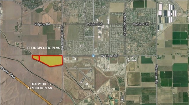
28601 S Corral Hollow Rd
253-020-11
80-FORM PT 253-020-07&PT TO PAR 11 TRA CHG 383C
Orchard
San Joaquin
AU20
California
B and X Area of moderate flood hazard, usually the area between the limits of the 100-year and 500-year floods.
9.97 AC
2025
Tracy/Manteca
2025
Stockton/Modesto
005213
Stockton-Lodi, CA
960 SF
NEARBY LISTINGS FOR SALE OR LEASE
DEMOGRAPHICS near 28601 S Corral Hollow Rd
1 mile
3 mile
5 mile
2025 Total Population
6,469
50,142
103,726
2030 Population
7,076
53,018
108,865
Pop Growth 2025-2030
+ 9.38%
+ 5.74%
+ 4.95%
Average Age
37
38
38
2025 Total Households
1,861
14,538
31,054
HH Growth 2025-2030
+ 9.56%
+ 5.77%
+ 5.00%
Median Household Inc
$159,954
$148,236
$122,979
Avg Household Size
3.50
3.40
3.30
2025 Avg HH Vehicles
3.00
3.00
3.00
Median Home Value
$870,795
$772,748
$739,806
Median Year Built
2008
2001
1995
Nearby Places
Map Layers
Map Styles
 Street
 Aerial
Layers
 Traffic
 Biking
Places
Listings with unknown addresses are not visible on the map
- Restaurants
- Banks
- Shops
- Fitness
- Groceries
PUBLIC TRANSPORTATION
COMMUTER RAIL
Tracy Station (ACE Train - Altamont Corridor Express)
Drive
Walk
Distance
Tracy Station (ACE Train - Altamont Corridor Express)
8 min
2.6 mi
AIRPORT
Stockton Metro
Drive
Walk
Distance
Stockton Metro
35 min
24.9 mi
Freight Ports
Port of Stockton
Drive
Walk
Distance
Port of Stockton
38 min
28.2 mi
Nearby Properties
Address
Land Use
TOTAL SIZE
Lot Size
Zoning
Address
Land Use
TOTAL SIZE
Lot Size
Zoning
653,447 SF
66.62 AC
IG
Address
Land Use
TOTAL SIZE
Lot Size
Zoning
726,000 SF
32.29 AC
M1
Address
Land Use
TOTAL SIZE
Lot Size
Zoning
22,926 SF
11.63 AC
Address
Land Use
TOTAL SIZE
Lot Size
Zoning
115.53 AC
IG
Address
Land Use
TOTAL SIZE
Lot Size
Zoning
490,000 SF
46 AC
IG
Address
Land Use
TOTAL SIZE
Lot Size
Zoning
29,442 SF
6.52 AC
Address
Land Use
TOTAL SIZE
Lot Size
Zoning
67.04 AC
AG40
Address
Land Use
TOTAL SIZE
Lot Size
Zoning
143,280 SF
20 AC
Address
Land Use
TOTAL SIZE
Lot Size
Zoning
382,260 SF
18.70 AC
Address
Land Use
TOTAL SIZE
Lot Size
Zoning
225,000 SF
11.13 AC
M
Address
Land Use
TOTAL SIZE
Lot Size
Zoning
258,520 SF
16.74 AC
Address
Land Use
TOTAL SIZE
Lot Size
Zoning
6,000 SF
22.88 AC
IL
Address
Land Use
TOTAL SIZE
Lot Size
Zoning
32.90 AC
Address
Land Use
TOTAL SIZE
Lot Size
Zoning
65.83 AC
Address
Land Use
TOTAL SIZE
Lot Size
Zoning
95.54 AC
Address
Land Use
TOTAL SIZE
Lot Size
Zoning
10,202 SF
4.50 AC
Address
Land Use
TOTAL SIZE
Lot Size
Zoning
6,500 SF
86.80 AC
IG
Address
Land Use
TOTAL SIZE
Lot Size
Zoning
158,064 SF
10.01 AC
Address
Land Use
TOTAL SIZE
Lot Size
Zoning
62,246 SF
5.82 AC
NS
Address
Land Use
TOTAL SIZE
Lot Size
Zoning
103 AC
AG40
Address
Land Use
TOTAL SIZE
Lot Size
Zoning
3,000 SF
37.96 AC
IG
Address
Land Use
TOTAL SIZE
Lot Size
Zoning
58,551 SF
5.77 AC
Address
Land Use
TOTAL SIZE
Lot Size
Zoning
29.82 AC
AU20
Address
Land Use
TOTAL SIZE
Lot Size
Zoning
18.43 AC
AU20
Address
Land Use
TOTAL SIZE
Lot Size
Zoning
117.95 AC
AG40
Address
Land Use
TOTAL SIZE
Lot Size
Zoning
105.89 AC
AG40
Address
Land Use
TOTAL SIZE
Lot Size
Zoning
38.01 AC
Address
Land Use
TOTAL SIZE
Lot Size
Zoning
14.12 AC
The World's #1 Commercial Real Estate Marketplace
Connect with us
© 2026 CoStar Group
The information above has been obtained from sources believed reliable. While we do not doubt its accuracy we have not verified it and make no guarantee, warranty or representation about it. It is your responsibility to independently confirm its accuracy and completeness. Any projections, opinions, assumptions, or estimates used are for example only and do not represent the current or future performance of the property. The value of this transaction to you depends on tax and other factors which should be evaluated by your tax, financial, and legal advisors. You and your advisors should conduct a careful, independent investigation of the property to determine to your satisfaction the suitability of the property for your needs.