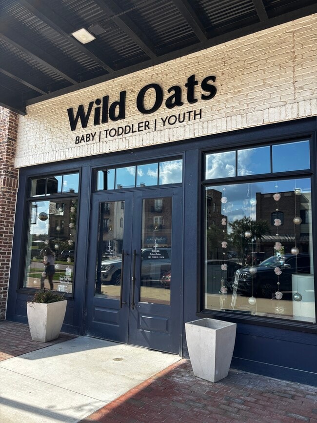
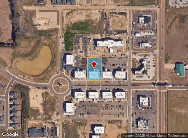
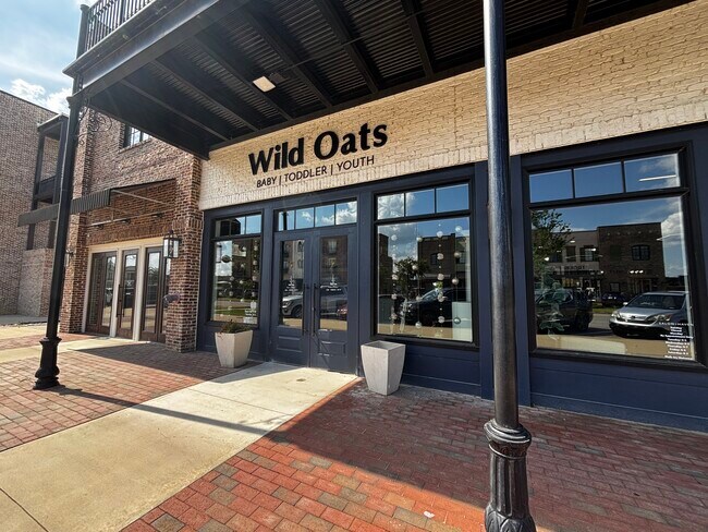
Property Record
2868 May Blvd, Southaven, MS 38672
Current Lease Availabilities
NEARBY LISTINGS FOR SALE OR LEASE
Property Detail
2868 May Blvd
Memphis
Silo Square Comm Area 1, Ph 1, Lots 13 &
Memphis, TN-MS-AR
SILO SQ COMM AR/PH I (13&15) LOT 13
1078331200001300
DeSoto
Realpropertynec
Mississippi
2025
13
2025
0.80 AC
070632
Southaven-Horn Lake
DEMOGRAPHICS near 2868 May Blvd
1 Mile
3 Mile
5 Mile
2024 Total Population
3,230
35,403
83,530
2029 Population
3,639
39,721
92,690
Pop Growth 2024-2029
+ 12.66%
+ 12.20%
+ 10.97%
Average Age
39
40
39
2024 Total Households
1,084
12,991
31,320
HH Growth 2024-2029
+ 12.82%
+ 12.25%
+ 11.05%
Median Household Inc
$110,193
$97,000
$80,412
Avg Household Size
2.90
2.70
2.60
2024 Avg HH Vehicles
3.00
2.00
2.00
Median Home Value
$289,407
$285,112
$274,075
Median Year Built
2004
2001
1996
Nearby Places
Map Layers
Map Styles
 Street
 Aerial
- Restaurants
- Banks
- Shops
- Fitness
- Groceries
PUBLIC TRANSPORTATION
AIRPORT
Memphis International
DRIVE
WALK
Distance
Memphis International
18 min
11.3 mi
Freight Ports
Port of Shreveport
DRIVE
WALK
Distance
Port of Shreveport
421 min
386.0 mi
Nearby Properties
Address
Land Use
TOTAL SIZE
Lot Size
Zoning
Address
Land Use
TOTAL SIZE
Lot Size
Zoning
897,076 SF
47.33 AC
CA
Address
Land Use
TOTAL SIZE
Lot Size
Zoning
865,065 SF
51.05 AC
CA
Address
Land Use
TOTAL SIZE
Lot Size
Zoning
316,573 SF
30.77 AC
CA
Address
Land Use
TOTAL SIZE
Lot Size
Zoning
740,964 SF
34.89 AC
PBP
Address
Land Use
TOTAL SIZE
Lot Size
Zoning
702,792 SF
37.11 AC
PBP
Address
Land Use
TOTAL SIZE
Lot Size
Zoning
454,272 SF
22.28 AC
PBP
Address
Land Use
TOTAL SIZE
Lot Size
Zoning
5,189 SF
9.62 AC
C-4
Address
Land Use
TOTAL SIZE
Lot Size
Zoning
404,676 SF
19.25 AC
PBP
Address
Land Use
TOTAL SIZE
Lot Size
Zoning
348,399 SF
19.77 AC
PBP
Address
Land Use
TOTAL SIZE
Lot Size
Zoning
344,190 SF
15.98 AC
PBP
Address
Land Use
TOTAL SIZE
Lot Size
Zoning
13,129 SF
12 AC
PUD
Address
Land Use
TOTAL SIZE
Lot Size
Zoning
291,672 SF
12.92 AC
PBP
Address
Land Use
TOTAL SIZE
Lot Size
Zoning
274,023 SF
15.08 AC
PBP
Address
Land Use
TOTAL SIZE
Lot Size
Zoning
257,976 SF
15.65 AC
PBP
Address
Land Use
TOTAL SIZE
Lot Size
Zoning
5,384 SF
7.92 AC
PUD
Address
Land Use
TOTAL SIZE
Lot Size
Zoning
64,571 SF
11.09 AC
C-4
Address
Land Use
TOTAL SIZE
Lot Size
Zoning
30,223 SF
12.41 AC
C-4
Address
Land Use
TOTAL SIZE
Lot Size
Zoning
127,150 SF
11.17 AC
C-4
Address
Land Use
TOTAL SIZE
Lot Size
Zoning
83,020 SF
13.19 AC
C-4
Address
Land Use
TOTAL SIZE
Lot Size
Zoning
135,662 SF
15.30 AC
C-4
Address
Land Use
TOTAL SIZE
Lot Size
Zoning
88,986 SF
13.81 AC
PUD
Address
Land Use
TOTAL SIZE
Lot Size
Zoning
88,766 SF
12.20 AC
PUD
Address
Land Use
TOTAL SIZE
Lot Size
Zoning
101,248 SF
9.47 AC
C-4
Address
Land Use
TOTAL SIZE
Lot Size
Zoning
105,260 SF
11.62 AC
C-4
Address
Land Use
TOTAL SIZE
Lot Size
Zoning
133,140 SF
9.51 AC
PBP
Address
Land Use
TOTAL SIZE
Lot Size
Zoning
19,576 SF
2.65 AC
PUD
Address
Land Use
TOTAL SIZE
Lot Size
Zoning
34,542 SF
8.41 AC
C-4
Address
Land Use
TOTAL SIZE
Lot Size
Zoning
59,864 SF
6.10 AC
R-3
Address
Land Use
TOTAL SIZE
Lot Size
Zoning
61,948 SF
4.37 AC
PUD
Address
Land Use
TOTAL SIZE
Lot Size
Zoning
70,772 SF
3.34 AC
C-4
The World's #1 Commercial Real Estate Marketplace
Connect with us
© 2026 CoStar Group
The information above has been obtained from sources believed reliable. While we do not doubt its accuracy we have not verified it and make no guarantee, warranty or representation about it. It is your responsibility to independently confirm its accuracy and completeness. Any projections, opinions, assumptions, or estimates used are for example only and do not represent the current or future performance of the property. The value of this transaction to you depends on tax and other factors which should be evaluated by your tax, financial, and legal advisors. You and your advisors should conduct a careful, independent investigation of the property to determine to your satisfaction the suitability of the property for your needs.