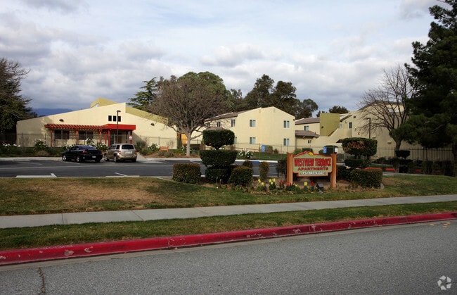
Property Record
287 W Westward Ave, Banning, CA 92220

NEARBY LISTINGS FOR SALE OR LEASE
-
-
View all Banning listings for sale on LoopNet.com
Property Detail
287 W Westward Ave
Riverside-San Bernardino-Ontario, CA
Sub Of Lands Adjoining Banning On Sw
540-250-054
5.53 ACRES M/L IN POR BLKS 300 & 301 MB 014/662 SD SUB OF LANDS ADJOINING BANNING ON SW
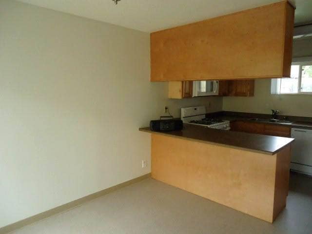
Apartment
Riverside
X
California
06065C0817G
300
2024
5.53 AC
2025
Outer Riverside County
044300
Inland Empire (California)
54,455 SF
DEMOGRAPHICS near 287 W Westward Ave
1 Mile
3 Mile
5 Mile
2024 Total Population
7,571
24,217
51,970
2029 Population
8,022
25,567
54,867
Pop Growth 2024-2029
+ 5.96%
+ 5.57%
+ 5.57%
Average Age
36
38
42
2024 Total Households
2,239
7,660
18,195
HH Growth 2024-2029
+ 5.81%
+ 5.31%
+ 5.22%
Median Household Inc
$50,810
$51,474
$62,944
Avg Household Size
3.10
3.00
2.70
2024 Avg HH Vehicles
2.00
2.00
2.00
Median Home Value
$249,062
$266,815
$352,624
Median Year Built
1971
1975
1992
Nearby Places
Map Layers
Map Styles
 Street
 Aerial
- Restaurants
- Banks
- Shops
- Fitness
- Groceries
PUBLIC TRANSPORTATION
AIRPORT
Palm Springs International
DRIVE
WALK
Distance
Palm Springs International
33 min
26.7 mi
Freight Ports
Port of Long Beach
DRIVE
WALK
Distance
Port of Long Beach
110 min
86.3 mi
Nearby Properties
Address
Land Use
TOTAL SIZE
Lot Size
Zoning
Address
Land Use
TOTAL SIZE
Lot Size
Zoning
1,000,000 SF
63.69 AC
Address
Land Use
TOTAL SIZE
Lot Size
Zoning
83,989 SF
39.10 AC
M1
Address
Land Use
TOTAL SIZE
Lot Size
Zoning
54,131 SF
3.23 AC
M1
Address
Land Use
TOTAL SIZE
Lot Size
Zoning
82,587 SF
6.78 AC
Address
Land Use
TOTAL SIZE
Lot Size
Zoning
39,250 SF
1.38 AC
C2
Address
Land Use
TOTAL SIZE
Lot Size
Zoning
909 SF
8.17 AC
RA
Address
Land Use
TOTAL SIZE
Lot Size
Zoning
17,272 SF
1.99 AC
Address
Land Use
TOTAL SIZE
Lot Size
Zoning
119,400 SF
8.21 AC
M
Address
Land Use
TOTAL SIZE
Lot Size
Zoning
50,000 SF
7.13 AC
CM
Address
Land Use
TOTAL SIZE
Lot Size
Zoning
32,520 SF
2.01 AC
Address
Land Use
TOTAL SIZE
Lot Size
Zoning
28,165 SF
2.41 AC
Address
Land Use
TOTAL SIZE
Lot Size
Zoning
102,760 SF
13.29 AC
Address
Land Use
TOTAL SIZE
Lot Size
Zoning
864 SF
4.30 AC
M
Address
Land Use
TOTAL SIZE
Lot Size
Zoning
30,000 SF
2.21 AC
C2
Address
Land Use
TOTAL SIZE
Lot Size
Zoning
29,928 SF
2.98 AC
Address
Land Use
TOTAL SIZE
Lot Size
Zoning
20,304 SF
0.91 AC
RA
Address
Land Use
TOTAL SIZE
Lot Size
Zoning
93,469 SF
7.46 AC
Address
Land Use
TOTAL SIZE
Lot Size
Zoning
15,000 SF
0.99 AC
Address
Land Use
TOTAL SIZE
Lot Size
Zoning
15.29 AC
W2
Address
Land Use
TOTAL SIZE
Lot Size
Zoning
15.25 AC
W2
Address
Land Use
TOTAL SIZE
Lot Size
Zoning
4.57 AC
Address
Land Use
TOTAL SIZE
Lot Size
Zoning
51,600 SF
2.47 AC
M
Address
Land Use
TOTAL SIZE
Lot Size
Zoning
20,000 SF
2.87 AC
Address
Land Use
TOTAL SIZE
Lot Size
Zoning
18,461 SF
1.16 AC
R3
Address
Land Use
TOTAL SIZE
Lot Size
Zoning
28,683 SF
5.79 AC
C2
The World's #1 Commercial Real Estate Marketplace
Connect with us
© 2025 CoStar Group
The information above has been obtained from sources believed reliable. While we do not doubt its accuracy we have not verified it and make no guarantee, warranty or representation about it. It is your responsibility to independently confirm its accuracy and completeness. Any projections, opinions, assumptions, or estimates used are for example only and do not represent the current or future performance of the property. The value of this transaction to you depends on tax and other factors which should be evaluated by your tax, financial, and legal advisors. You and your advisors should conduct a careful, independent investigation of the property to determine to your satisfaction the suitability of the property for your needs.