Property Record
2880 E Fm 917, Mansfield, TX 76063


Property Detail
2880 E Fm 917
Dallas-Fort Worth-Arlington, TX
ABST 416 TR 1C A HOWELL
126-0416-08158
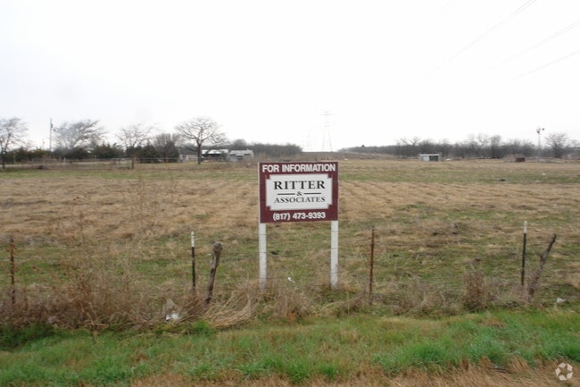
JOHNSON
Agriculturalland
Texas
B and X Area of moderate flood hazard, usually the area between the limits of the 100-year and 500-year floods.
1.39 AC
2024
Johnson County
2025
Dallas/Ft Worth
130419
NEARBY LISTINGS FOR SALE OR LEASE
DEMOGRAPHICS near 2880 E Fm 917
1 mile
3 mile
5 mile
2025 Total Population
508
17,434
61,167
2030 Population
597
19,693
68,160
Pop Growth 2025-2030
+ 17.52%
+ 12.96%
+ 11.43%
Average Age
38
36
37
2025 Total Households
166
5,633
20,294
HH Growth 2025-2030
+ 17.47%
+ 12.75%
+ 11.29%
Median Household Inc
$109,539
$82,883
$94,946
Avg Household Size
3.00
3.00
2.90
2025 Avg HH Vehicles
2.00
2.00
2.00
Median Home Value
$393,902
$390,805
$403,231
Median Year Built
2007
2003
2004
Nearby Places
Map Layers
Map Styles
 Street
 Aerial
Layers
 Traffic
 Biking
Places
Listings with unknown addresses are not visible on the map
- Restaurants
- Banks
- Shops
- Fitness
- Groceries
PUBLIC TRANSPORTATION
AIRPORT
Dallas-Fort Worth International
Drive
Walk
Distance
Dallas-Fort Worth International
42 min
30.7 mi
Dallas Love Field
Drive
Walk
Distance
Dallas Love Field
52 min
39.3 mi
Freight Ports
Port of Shreveport
Drive
Walk
Distance
Port of Shreveport
244 min
225.0 mi
Nearby Properties
Address
Land Use
TOTAL SIZE
Lot Size
Zoning
Address
Land Use
TOTAL SIZE
Lot Size
Zoning
22.94 AC
Address
Land Use
TOTAL SIZE
Lot Size
Zoning
234,051 SF
5.37 AC
Address
Land Use
TOTAL SIZE
Lot Size
Zoning
Address
Land Use
TOTAL SIZE
Lot Size
Zoning
53.23 AC
Address
Land Use
TOTAL SIZE
Lot Size
Zoning
318,000 SF
19.93 AC
Address
Land Use
TOTAL SIZE
Lot Size
Zoning
359,397 SF
17.31 AC
Address
Land Use
TOTAL SIZE
Lot Size
Zoning
11.76 AC
Address
Land Use
TOTAL SIZE
Lot Size
Zoning
122,400 SF
45.41 AC
Address
Land Use
TOTAL SIZE
Lot Size
Zoning
187,200 SF
12.01 AC
Address
Land Use
TOTAL SIZE
Lot Size
Zoning
115,150 SF
35.90 AC
Address
Land Use
TOTAL SIZE
Lot Size
Zoning
333.20 AC
Address
Land Use
TOTAL SIZE
Lot Size
Zoning
144,770 SF
5.39 AC
Address
Land Use
TOTAL SIZE
Lot Size
Zoning
203,000 SF
11.17 AC
Address
Land Use
TOTAL SIZE
Lot Size
Zoning
82,365 SF
12.38 AC
Address
Land Use
TOTAL SIZE
Lot Size
Zoning
92,875 SF
12.36 AC
Address
Land Use
TOTAL SIZE
Lot Size
Zoning
107,723 SF
9.06 AC
Address
Land Use
TOTAL SIZE
Lot Size
Zoning
166,434 SF
9.20 AC
Address
Land Use
TOTAL SIZE
Lot Size
Zoning
52,009 SF
7.57 AC
Address
Land Use
TOTAL SIZE
Lot Size
Zoning
207,000 SF
5.67 AC
Address
Land Use
TOTAL SIZE
Lot Size
Zoning
86,700 SF
17.75 AC
Address
Land Use
TOTAL SIZE
Lot Size
Zoning
60,092 SF
6.17 AC
Address
Land Use
TOTAL SIZE
Lot Size
Zoning
83,484 SF
5 AC
Address
Land Use
TOTAL SIZE
Lot Size
Zoning
86,133 SF
23.09 AC
Address
Land Use
TOTAL SIZE
Lot Size
Zoning
128,094 SF
14.62 AC
Address
Land Use
TOTAL SIZE
Lot Size
Zoning
41,022 SF
6.77 AC
Address
Land Use
TOTAL SIZE
Lot Size
Zoning
117,918 SF
9.94 AC
Address
Land Use
TOTAL SIZE
Lot Size
Zoning
37,133 SF
19.10 AC
Address
Land Use
TOTAL SIZE
Lot Size
Zoning
106,600 SF
7.56 AC
Address
Land Use
TOTAL SIZE
Lot Size
Zoning
35,952 SF
2.02 AC
Address
Land Use
TOTAL SIZE
Lot Size
Zoning
79,076 SF
The World's #1 Commercial Real Estate Marketplace
Connect with us
© 2026 CoStar Group
The information above has been obtained from sources believed reliable. While we do not doubt its accuracy we have not verified it and make no guarantee, warranty or representation about it. It is your responsibility to independently confirm its accuracy and completeness. Any projections, opinions, assumptions, or estimates used are for example only and do not represent the current or future performance of the property. The value of this transaction to you depends on tax and other factors which should be evaluated by your tax, financial, and legal advisors. You and your advisors should conduct a careful, independent investigation of the property to determine to your satisfaction the suitability of the property for your needs.