Property Record
28820 N 131St Dr, Peoria, AZ 85383


NEARBY LISTINGS FOR SALE OR LEASE
Property Detail
28820 N 131St Dr
07-05219-000
PT 391392 ROSS 1ST 60X180IRR 0.2975A MAP-07-12A-39 CMB W05220 & 05820 & 05844 & 06137
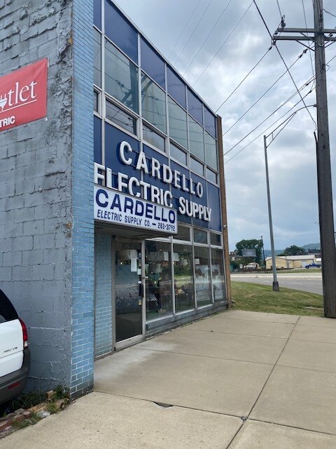
Publicstorage
Jefferson
X
Ohio
54009C0076D
0.12 AC
2024
Ohio North Area
2024
Other Market Areas
001400
Weirton-Steubenville, WV-OH
4,200 SF
DEMOGRAPHICS near 28820 N 131St Dr
1 Mile
3 Mile
5 Mile
2024 Total Population
6,745
28,918
50,916
2029 Population
6,779
28,426
49,768
Pop Growth 2024-2029
+ 0.50%
(1.70%)
(2.25%)
Average Age
39
41
43
2024 Total Households
2,780
11,764
21,440
HH Growth 2024-2029
+ 0.54%
(1.84%)
(2.40%)
Median Household Inc
$20,917
$43,223
$46,932
Avg Household Size
2.10
2.20
2.20
2024 Avg HH Vehicles
1.00
2.00
2.00
Median Home Value
$78,537
$108,374
$106,178
Median Year Built
1949
1955
1957
Nearby Places
Map Layers
Map Styles
 Street
 Aerial
- Restaurants
- Banks
- Shops
- Fitness
- Groceries
PUBLIC TRANSPORTATION
AIRPORT
Pittsburgh International
DRIVE
WALK
Distance
Pittsburgh International
48 min
30.7 mi
Freight Ports
Port of Toledo
DRIVE
WALK
Distance
Port of Toledo
266 min
228.5 mi
SALE & LEASE HISTORY
LISTING DATE
SALE/LEASE

Aug 04, 2020
For Sale
Nearby Properties
Address
Land Use
TOTAL SIZE
Lot Size
Zoning
Address
Land Use
TOTAL SIZE
Lot Size
Zoning
23.40 AC
Address
Land Use
TOTAL SIZE
Lot Size
Zoning
85.37 AC
Address
Land Use
TOTAL SIZE
Lot Size
Zoning
4,556 SF
37.50 AC
Address
Land Use
TOTAL SIZE
Lot Size
Zoning
17.22 AC
Address
Land Use
TOTAL SIZE
Lot Size
Zoning
15.89 AC
Address
Land Use
TOTAL SIZE
Lot Size
Zoning
15.59 AC
Address
Land Use
TOTAL SIZE
Lot Size
Zoning
16.99 AC
Address
Land Use
TOTAL SIZE
Lot Size
Zoning
4,000 SF
6.13 AC
Address
Land Use
TOTAL SIZE
Lot Size
Zoning
7,784 SF
0.17 AC
Address
Land Use
TOTAL SIZE
Lot Size
Zoning
74,134 SF
156.68 AC
Address
Land Use
TOTAL SIZE
Lot Size
Zoning
1.20 AC
Address
Land Use
TOTAL SIZE
Lot Size
Zoning
78.75 AC
Address
Land Use
TOTAL SIZE
Lot Size
Zoning
Address
Land Use
TOTAL SIZE
Lot Size
Zoning
13,948 SF
1.57 AC
Address
Land Use
TOTAL SIZE
Lot Size
Zoning
3.86 AC
Address
Land Use
TOTAL SIZE
Lot Size
Zoning
1.01 AC
Address
Land Use
TOTAL SIZE
Lot Size
Zoning
49,486 SF
9.61 AC
Address
Land Use
TOTAL SIZE
Lot Size
Zoning
6,300 SF
108.70 AC
Address
Land Use
TOTAL SIZE
Lot Size
Zoning
0.98 AC
Address
Land Use
TOTAL SIZE
Lot Size
Zoning
1.58 AC
Address
Land Use
TOTAL SIZE
Lot Size
Zoning
14,976 SF
29.31 AC
Address
Land Use
TOTAL SIZE
Lot Size
Zoning
1.31 AC
Address
Land Use
TOTAL SIZE
Lot Size
Zoning
10,488 SF
3.17 AC
Address
Land Use
TOTAL SIZE
Lot Size
Zoning
1.13 AC
Address
Land Use
TOTAL SIZE
Lot Size
Zoning
24.44 AC
Address
Land Use
TOTAL SIZE
Lot Size
Zoning
37,028 SF
13.92 AC
Address
Land Use
TOTAL SIZE
Lot Size
Zoning
Address
Land Use
TOTAL SIZE
Lot Size
Zoning
14,784 SF
1.80 AC
Address
Land Use
TOTAL SIZE
Lot Size
Zoning
15.26 AC
Address
Land Use
TOTAL SIZE
Lot Size
Zoning
29,781 SF
4.50 AC
The World's #1 Commercial Real Estate Marketplace
Connect with us
© 2025 CoStar Group
The information above has been obtained from sources believed reliable. While we do not doubt its accuracy we have not verified it and make no guarantee, warranty or representation about it. It is your responsibility to independently confirm its accuracy and completeness. Any projections, opinions, assumptions, or estimates used are for example only and do not represent the current or future performance of the property. The value of this transaction to you depends on tax and other factors which should be evaluated by your tax, financial, and legal advisors. You and your advisors should conduct a careful, independent investigation of the property to determine to your satisfaction the suitability of the property for your needs.