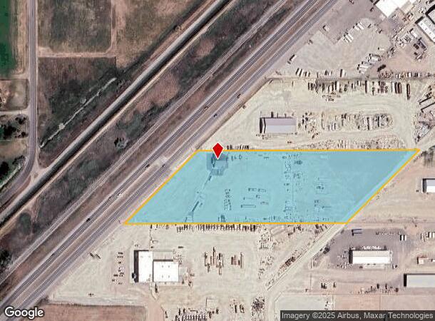
Property Record
289 S Highway 24, Rupert, ID 83350

NEARBY LISTINGS FOR SALE OR LEASE
Property Detail
289 S Highway 24
Burley, ID
TAX 510306 IN S2SW4 1-10-23
RP10S23E016020
Minidoka
Commercialnec
Idaho
2025
6 AC
2025
Idaho South Area
970500
Other Market Areas
2,000 SF
DEMOGRAPHICS near 289 S Highway 24
1 Mile
3 Mile
5 Mile
2024 Total Population
287
5,898
25,816
2029 Population
312
6,383
28,078
Pop Growth 2024-2029
+ 8.71%
+ 8.22%
+ 8.76%
Average Age
38
37
37
2024 Total Households
103
2,104
9,146
HH Growth 2024-2029
+ 8.74%
+ 8.08%
+ 8.68%
Median Household Inc
$56,470
$56,804
$56,311
Avg Household Size
2.80
2.80
2.80
2024 Avg HH Vehicles
2.00
2.00
2.00
Median Home Value
$292,856
$233,935
$188,124
Median Year Built
1976
1978
1974
Nearby Places
Map Layers
Map Styles
 Street
 Aerial
- Restaurants
- Banks
- Shops
- Fitness
- Groceries
Nearby Properties
Address
Land Use
TOTAL SIZE
Lot Size
Zoning
Address
Land Use
TOTAL SIZE
Lot Size
Zoning
Address
Land Use
TOTAL SIZE
Lot Size
Zoning
Address
Land Use
TOTAL SIZE
Lot Size
Zoning
10.71 AC
Address
Land Use
TOTAL SIZE
Lot Size
Zoning
8.68 AC
Address
Land Use
TOTAL SIZE
Lot Size
Zoning
24,600 SF
8.72 AC
Address
Land Use
TOTAL SIZE
Lot Size
Zoning
9.95 AC
4
Address
Land Use
TOTAL SIZE
Lot Size
Zoning
14,992 SF
4.53 AC
Address
Land Use
TOTAL SIZE
Lot Size
Zoning
9.43 AC
Address
Land Use
TOTAL SIZE
Lot Size
Zoning
13,586 SF
11.36 AC
Address
Land Use
TOTAL SIZE
Lot Size
Zoning
30,080 SF
2.60 AC
4
Address
Land Use
TOTAL SIZE
Lot Size
Zoning
8.16 AC
Address
Land Use
TOTAL SIZE
Lot Size
Zoning
12,650 SF
5.90 AC
4
Address
Land Use
TOTAL SIZE
Lot Size
Zoning
8,293 SF
8.07 AC
4
Address
Land Use
TOTAL SIZE
Lot Size
Zoning
14,260 SF
4 AC
Address
Land Use
TOTAL SIZE
Lot Size
Zoning
11,560 SF
1.17 AC
Address
Land Use
TOTAL SIZE
Lot Size
Zoning
18,000 SF
3.78 AC
Address
Land Use
TOTAL SIZE
Lot Size
Zoning
14,400 SF
3.53 AC
Address
Land Use
TOTAL SIZE
Lot Size
Zoning
14,000 SF
2.98 AC
4
Address
Land Use
TOTAL SIZE
Lot Size
Zoning
10,000 SF
1.12 AC
Address
Land Use
TOTAL SIZE
Lot Size
Zoning
17,370 SF
11.43 AC
Address
Land Use
TOTAL SIZE
Lot Size
Zoning
11,700 SF
3.26 AC
Address
Land Use
TOTAL SIZE
Lot Size
Zoning
15,560 SF
3.06 AC
Address
Land Use
TOTAL SIZE
Lot Size
Zoning
24,600 SF
6.77 AC
Address
Land Use
TOTAL SIZE
Lot Size
Zoning
2.34 AC
Address
Land Use
TOTAL SIZE
Lot Size
Zoning
3,750 SF
33.30 AC
4
Address
Land Use
TOTAL SIZE
Lot Size
Zoning
9,000 SF
5.57 AC
Address
Land Use
TOTAL SIZE
Lot Size
Zoning
4,118 SF
2.66 AC
Address
Land Use
TOTAL SIZE
Lot Size
Zoning
7,600 SF
1.38 AC
Address
Land Use
TOTAL SIZE
Lot Size
Zoning
11,577 SF
76.74 AC
Address
Land Use
TOTAL SIZE
Lot Size
Zoning
7,776 SF
0.52 AC
The World's #1 Commercial Real Estate Marketplace
Connect with us
© 2025 CoStar Group
The information above has been obtained from sources believed reliable. While we do not doubt its accuracy we have not verified it and make no guarantee, warranty or representation about it. It is your responsibility to independently confirm its accuracy and completeness. Any projections, opinions, assumptions, or estimates used are for example only and do not represent the current or future performance of the property. The value of this transaction to you depends on tax and other factors which should be evaluated by your tax, financial, and legal advisors. You and your advisors should conduct a careful, independent investigation of the property to determine to your satisfaction the suitability of the property for your needs.