Property Record
2897 Freedom Blvd, Watsonville, CA 95076


Property Detail
2897 Freedom Blvd
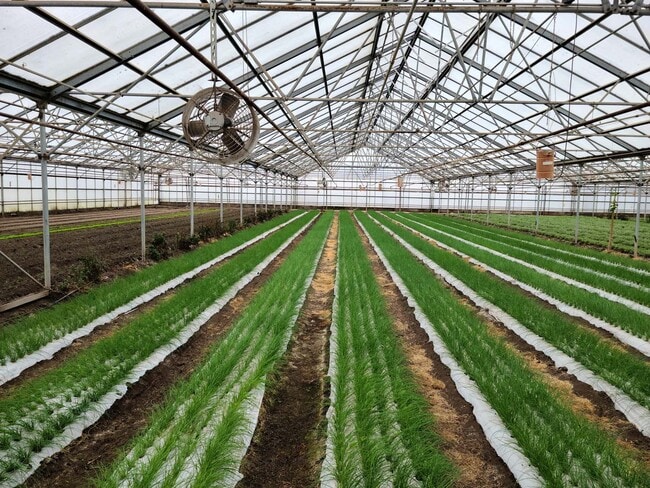
Horticulturegrowinghousesagricultural
SANTA CRUZ
RA
California
B and X Area of moderate flood hazard, usually the area between the limits of the 100-year and 500-year floods.
43 AC
2024
Outlying Santa Cruz Cnty
2025
Santa Cruz/Watsonville
122402
Santa Cruz-Watsonville, CA
14,132 SF
049-091-31-000
NEARBY LISTINGS FOR SALE OR LEASE
DEMOGRAPHICS near 2897 Freedom Blvd
1 mile
3 mile
5 mile
2025 Total Population
605
29,181
84,461
2030 Population
555
28,076
82,060
Pop Growth 2025-2030
(8.26%)
(3.79%)
(2.84%)
Average Age
45
38
39
2025 Total Households
216
8,012
24,960
HH Growth 2025-2030
(8.80%)
(4.53%)
(3.17%)
Median Household Inc
$141,249
$93,422
$94,661
Avg Household Size
2.80
3.40
3.20
2025 Avg HH Vehicles
3.00
2.00
2.00
Median Home Value
$961,267
$777,048
$866,352
Median Year Built
1976
1974
1974
Nearby Places
Map Layers
Map Styles
 Street
 Aerial
Layers
 Traffic
 Biking
Places
Listings with unknown addresses are not visible on the map
- Restaurants
- Banks
- Shops
- Fitness
- Groceries
PUBLIC TRANSPORTATION
AIRPORT
Monterey Regional
Drive
Walk
Distance
Monterey Regional
44 min
31.9 mi
Norman Y Mineta San Jose International
Drive
Walk
Distance
Norman Y Mineta San Jose International
63 min
44.6 mi
Freight Ports
Port of Redwood City
Drive
Walk
Distance
Port of Redwood City
82 min
60.5 mi
SALE & LEASE HISTORY
LISTING DATE
SALE/LEASE

Feb 24, 2021
For Lease
Nearby Properties
Address
Land Use
TOTAL SIZE
Lot Size
Zoning
Address
Land Use
TOTAL SIZE
Lot Size
Zoning
3,767 SF
6.90 AC
RM-2-R
Address
Land Use
TOTAL SIZE
Lot Size
Zoning
163,824 SF
13.98 AC
Address
Land Use
TOTAL SIZE
Lot Size
Zoning
60,392 SF
4.07 AC
RM-4
Address
Land Use
TOTAL SIZE
Lot Size
Zoning
146,574 SF
9.97 AC
Address
Land Use
TOTAL SIZE
Lot Size
Zoning
Address
Land Use
TOTAL SIZE
Lot Size
Zoning
5,963 SF
7.89 AC
Address
Land Use
TOTAL SIZE
Lot Size
Zoning
8.45 AC
Address
Land Use
TOTAL SIZE
Lot Size
Zoning
23,677 SF
67.25 AC
PF
Address
Land Use
TOTAL SIZE
Lot Size
Zoning
4.59 AC
CA
Address
Land Use
TOTAL SIZE
Lot Size
Zoning
41,700 SF
3 AC
PA
Address
Land Use
TOTAL SIZE
Lot Size
Zoning
61,561 SF
6.38 AC
Address
Land Use
TOTAL SIZE
Lot Size
Zoning
39,711 SF
3.88 AC
Address
Land Use
TOTAL SIZE
Lot Size
Zoning
2.71 AC
Address
Land Use
TOTAL SIZE
Lot Size
Zoning
85,044 SF
6.95 AC
Address
Land Use
TOTAL SIZE
Lot Size
Zoning
54,327 SF
1.25 AC
RM4GH
Address
Land Use
TOTAL SIZE
Lot Size
Zoning
27.77 AC
PR
Address
Land Use
TOTAL SIZE
Lot Size
Zoning
47,647 SF
1.74 AC
Address
Land Use
TOTAL SIZE
Lot Size
Zoning
56,387 SF
4.57 AC
RM3
Address
Land Use
TOTAL SIZE
Lot Size
Zoning
11,781 SF
76.71 AC
SU
Address
Land Use
TOTAL SIZE
Lot Size
Zoning
11,460 SF
1.15 AC
Address
Land Use
TOTAL SIZE
Lot Size
Zoning
1,898 SF
51.55 AC
CA
Address
Land Use
TOTAL SIZE
Lot Size
Zoning
49,572 SF
2.24 AC
Address
Land Use
TOTAL SIZE
Lot Size
Zoning
Address
Land Use
TOTAL SIZE
Lot Size
Zoning
31,914 SF
29.21 AC
CA
Address
Land Use
TOTAL SIZE
Lot Size
Zoning
7,859 SF
24.43 AC
CA
Address
Land Use
TOTAL SIZE
Lot Size
Zoning
28,590 SF
1.86 AC
Address
Land Use
TOTAL SIZE
Lot Size
Zoning
79,554 SF
3.09 AC
Address
Land Use
TOTAL SIZE
Lot Size
Zoning
29,269 SF
3.35 AC
RM-4-GH
Address
Land Use
TOTAL SIZE
Lot Size
Zoning
2,232 SF
50.80 AC
CA
The World's #1 Commercial Real Estate Marketplace
Connect with us
© 2026 CoStar Group
The information above has been obtained from sources believed reliable. While we do not doubt its accuracy we have not verified it and make no guarantee, warranty or representation about it. It is your responsibility to independently confirm its accuracy and completeness. Any projections, opinions, assumptions, or estimates used are for example only and do not represent the current or future performance of the property. The value of this transaction to you depends on tax and other factors which should be evaluated by your tax, financial, and legal advisors. You and your advisors should conduct a careful, independent investigation of the property to determine to your satisfaction the suitability of the property for your needs.