Property Record
2901 E 78Th St, Minneapolis, MN 55425


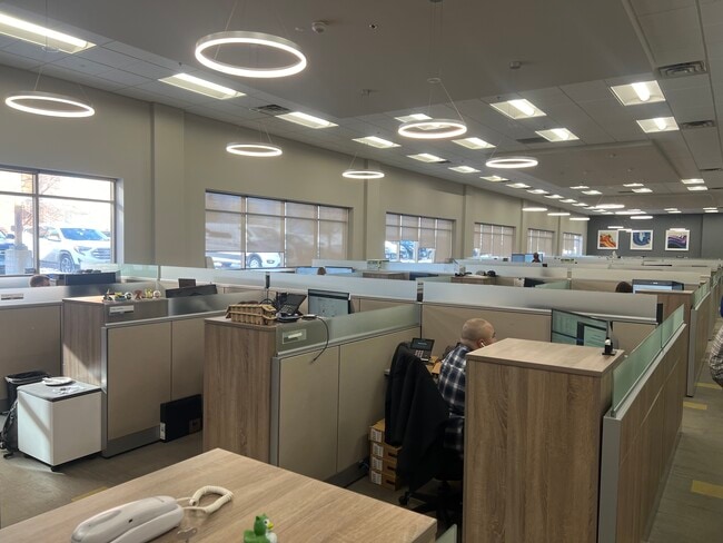
This Property Is For Sale
Property Detail
2901 E 78Th St
01-027-24-11-0003
UNPLATTED 01 027 24 E 165 FT OF W 412.5 FT OF N 32 RODS OF E 1/2 OF NE 1/4 EXCEPT ROAD 165 X 488
Industrialgeneral
HENNEPIN
B and X Area of moderate flood hazard, usually the area between the limits of the 100-year and 500-year floods.
Minnesota
2025
1.83 AC
2025
South Central
025100
Minneapolis/St Paul
21,500 SF
Minneapolis-St. Paul-Bloomington, MN-WI
NEARBY LISTINGS FOR SALE OR LEASE
DEMOGRAPHICS near 2901 E 78Th St
1 mile
3 mile
5 mile
2025 Total Population
3,036
57,064
238,357
2030 Population
3,232
57,239
240,050
Pop Growth 2025-2030
+ 6.46%
+ 0.31%
+ 0.71%
Average Age
40
40
41
2025 Total Households
1,544
22,928
103,317
HH Growth 2025-2030
+ 7.32%
+ 0.40%
+ 0.76%
Median Household Inc
$87,002
$84,014
$91,343
Avg Household Size
1.90
2.40
2.20
2025 Avg HH Vehicles
2.00
2.00
2.00
Median Home Value
$346,853
$328,371
$359,053
Median Year Built
2010
1958
1964
Nearby Places
Map Layers
Map Styles
 Street
 Aerial
Layers
 Traffic
 Biking
Places
Listings with unknown addresses are not visible on the map
- Restaurants
- Banks
- Shops
- Fitness
- Groceries
PUBLIC TRANSPORTATION
TRANSIT/SUBWAY
28th Avenue Station (Hiawatha Line - Minneapolis-Saint Paul Metro Transit Light Rail)
Drive
Walk
Distance
28th Avenue Station (Hiawatha Line - Minneapolis-Saint Paul Metro Transit Light Rail)
3 min
10 min
0.5 mi
American Boulevard (Hiawatha Line - Minneapolis-Saint Paul Metro Transit Light Rail)
Drive
Walk
Distance
American Boulevard (Hiawatha Line - Minneapolis-Saint Paul Metro Transit Light Rail)
2 min
11 min
0.6 mi
Bloomington Central Station (Hiawatha Line - Minneapolis-Saint Paul Metro Transit Light Rail)
Drive
Walk
Distance
Bloomington Central Station (Hiawatha Line - Minneapolis-Saint Paul Metro Transit Light Rail)
3 min
12 min
0.6 mi
Mall of America Station (Hiawatha Line - Minneapolis-Saint Paul Metro Transit Light Rail)
Drive
Walk
Distance
Mall of America Station (Hiawatha Line - Minneapolis-Saint Paul Metro Transit Light Rail)
5 min
18 min
0.9 mi
AIRPORT
Minneapolis-St Paul International/Wold-Chamberlain
Drive
Walk
Distance
Minneapolis-St Paul International/Wold-Chamberlain
7 min
2.4 mi
Nearby Properties
Address
Land Use
TOTAL SIZE
Lot Size
Zoning
Address
Land Use
TOTAL SIZE
Lot Size
Zoning
1,233,880 SF
63.49 AC
Address
Land Use
TOTAL SIZE
Lot Size
Zoning
4.29 AC
Address
Land Use
TOTAL SIZE
Lot Size
Zoning
4.26 AC
Address
Land Use
TOTAL SIZE
Lot Size
Zoning
3.86 AC
Address
Land Use
TOTAL SIZE
Lot Size
Zoning
78,800 SF
2.12 AC
Address
Land Use
TOTAL SIZE
Lot Size
Zoning
4.20 AC
Address
Land Use
TOTAL SIZE
Lot Size
Zoning
98,676 SF
8.77 AC
Address
Land Use
TOTAL SIZE
Lot Size
Zoning
Address
Land Use
TOTAL SIZE
Lot Size
Zoning
114,617 SF
17.68 AC
Address
Land Use
TOTAL SIZE
Lot Size
Zoning
6.87 AC
Address
Land Use
TOTAL SIZE
Lot Size
Zoning
4.20 AC
Address
Land Use
TOTAL SIZE
Lot Size
Zoning
2.49 AC
Address
Land Use
TOTAL SIZE
Lot Size
Zoning
33,246 SF
5.16 AC
Address
Land Use
TOTAL SIZE
Lot Size
Zoning
47,397 SF
6.78 AC
Address
Land Use
TOTAL SIZE
Lot Size
Zoning
Address
Land Use
TOTAL SIZE
Lot Size
Zoning
138,826 SF
23.39 AC
Address
Land Use
TOTAL SIZE
Lot Size
Zoning
4.20 AC
Address
Land Use
TOTAL SIZE
Lot Size
Zoning
14,568 SF
14.97 AC
Address
Land Use
TOTAL SIZE
Lot Size
Zoning
Address
Land Use
TOTAL SIZE
Lot Size
Zoning
21,599 SF
37.46 AC
Address
Land Use
TOTAL SIZE
Lot Size
Zoning
Address
Land Use
TOTAL SIZE
Lot Size
Zoning
Address
Land Use
TOTAL SIZE
Lot Size
Zoning
34,152 SF
6.11 AC
Address
Land Use
TOTAL SIZE
Lot Size
Zoning
26,838 SF
1.30 AC
Address
Land Use
TOTAL SIZE
Lot Size
Zoning
Address
Land Use
TOTAL SIZE
Lot Size
Zoning
27.48 AC
Address
Land Use
TOTAL SIZE
Lot Size
Zoning
Address
Land Use
TOTAL SIZE
Lot Size
Zoning
5.24 AC
Address
Land Use
TOTAL SIZE
Lot Size
Zoning
Address
Land Use
TOTAL SIZE
Lot Size
Zoning
3.21 AC
The World's #1 Commercial Real Estate Marketplace
Connect with us
© 2026 CoStar Group
The information above has been obtained from sources believed reliable. While we do not doubt its accuracy we have not verified it and make no guarantee, warranty or representation about it. It is your responsibility to independently confirm its accuracy and completeness. Any projections, opinions, assumptions, or estimates used are for example only and do not represent the current or future performance of the property. The value of this transaction to you depends on tax and other factors which should be evaluated by your tax, financial, and legal advisors. You and your advisors should conduct a careful, independent investigation of the property to determine to your satisfaction the suitability of the property for your needs.