Property Record
2901 E Stewart Ave, Visalia, CA 93292


NEARBY LISTINGS FOR SALE OR LEASE
Property Detail
2901 E Stewart Ave
103-180-051-000
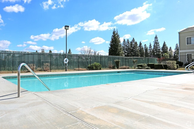
The Oaks
Apartment
PAR 1 PAR MAP 3293 V33 P95 PM
X
Tulare
06107C0934E
California
2024
5.75 AC
2025
Northeast District
001306
Visalia/Porterville
103,140 SF
Visalia-Porterville, CA
DEMOGRAPHICS near 2901 E Stewart Ave
1 Mile
3 Mile
5 Mile
2024 Total Population
10,121
69,185
151,950
2029 Population
10,374
71,671
157,460
Pop Growth 2024-2029
+ 2.50%
+ 3.59%
+ 3.63%
Average Age
35
35
36
2024 Total Households
3,190
21,972
48,616
HH Growth 2024-2029
+ 2.48%
+ 3.55%
+ 3.62%
Median Household Inc
$68,838
$62,405
$64,815
Avg Household Size
3.10
3.10
3.00
2024 Avg HH Vehicles
2.00
2.00
2.00
Median Home Value
$282,669
$266,115
$282,947
Median Year Built
1988
1984
1984
Nearby Places
Map Layers
Map Styles
 Street
 Aerial
- Restaurants
- Banks
- Shops
- Fitness
- Groceries
Nearby Properties
Address
Land Use
TOTAL SIZE
Lot Size
Zoning
Address
Land Use
TOTAL SIZE
Lot Size
Zoning
47,768 SF
6.76 AC
RM2
Address
Land Use
TOTAL SIZE
Lot Size
Zoning
123.41 AC
Address
Land Use
TOTAL SIZE
Lot Size
Zoning
82.35 AC
QP
Address
Land Use
TOTAL SIZE
Lot Size
Zoning
146,890 SF
11.73 AC
CCM
Address
Land Use
TOTAL SIZE
Lot Size
Zoning
61,587 SF
0.43 AC
PA
Address
Land Use
TOTAL SIZE
Lot Size
Zoning
4.24 AC
Address
Land Use
TOTAL SIZE
Lot Size
Zoning
185,883 SF
9.97 AC
CSO
Address
Land Use
TOTAL SIZE
Lot Size
Zoning
56,384 SF
9.14 AC
Address
Land Use
TOTAL SIZE
Lot Size
Zoning
126,532 SF
8.63 AC
RM2
Address
Land Use
TOTAL SIZE
Lot Size
Zoning
47,242 SF
3.94 AC
QP-PA
Address
Land Use
TOTAL SIZE
Lot Size
Zoning
54,674 SF
1.26 AC
CDT
Address
Land Use
TOTAL SIZE
Lot Size
Zoning
134,055 SF
3.49 AC
CDT
Address
Land Use
TOTAL SIZE
Lot Size
Zoning
87,160 SF
0.75 AC
PA
Address
Land Use
TOTAL SIZE
Lot Size
Zoning
83,011 SF
4.46 AC
QP
Address
Land Use
TOTAL SIZE
Lot Size
Zoning
133,910 SF
14.35 AC
CSO
Address
Land Use
TOTAL SIZE
Lot Size
Zoning
1.07 AC
CDT
Address
Land Use
TOTAL SIZE
Lot Size
Zoning
8,319 SF
19.68 AC
Address
Land Use
TOTAL SIZE
Lot Size
Zoning
47,035 SF
3.29 AC
CCM
Address
Land Use
TOTAL SIZE
Lot Size
Zoning
6.42 AC
CN
Address
Land Use
TOTAL SIZE
Lot Size
Zoning
32,741 SF
1.87 AC
Address
Land Use
TOTAL SIZE
Lot Size
Zoning
7,311 SF
2.31 AC
Address
Land Use
TOTAL SIZE
Lot Size
Zoning
27,603 SF
2.86 AC
CCM
Address
Land Use
TOTAL SIZE
Lot Size
Zoning
1.65 AC
Address
Land Use
TOTAL SIZE
Lot Size
Zoning
17,313 SF
1 AC
CDT/PA
Address
Land Use
TOTAL SIZE
Lot Size
Zoning
37,440 SF
4.03 AC
IL
Address
Land Use
TOTAL SIZE
Lot Size
Zoning
10,130 SF
10.33 AC
QP
Address
Land Use
TOTAL SIZE
Lot Size
Zoning
29,145 SF
0.45 AC
CDT
The World's #1 Commercial Real Estate Marketplace
Connect with us
© 2025 CoStar Group
The information above has been obtained from sources believed reliable. While we do not doubt its accuracy we have not verified it and make no guarantee, warranty or representation about it. It is your responsibility to independently confirm its accuracy and completeness. Any projections, opinions, assumptions, or estimates used are for example only and do not represent the current or future performance of the property. The value of this transaction to you depends on tax and other factors which should be evaluated by your tax, financial, and legal advisors. You and your advisors should conduct a careful, independent investigation of the property to determine to your satisfaction the suitability of the property for your needs.