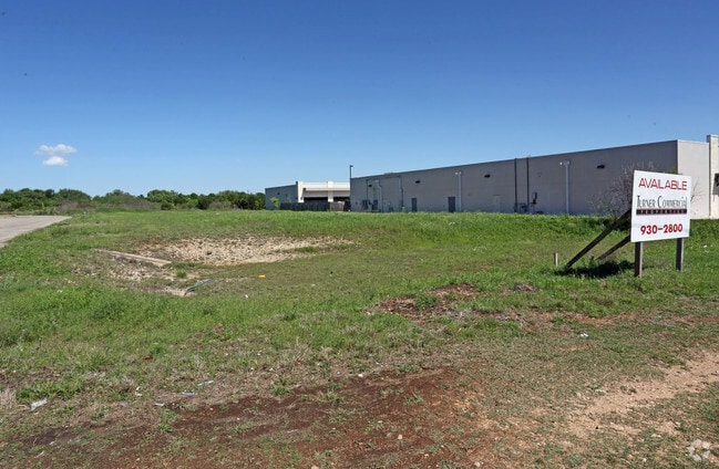
Property Record
2906 S Bagdad Rd, Leander, TX 78641

Property Detail
2906 S Bagdad Rd
Austin-Round Rock-San Marcos, TX
S9181 - BAGDAD COM PARK SEC 1 (REPLAT), BLOCK A, LOT 1, ACRES 3.268, & S3099 - BAGDAD COMMERCIAL PARK SEC 1 (ABANDONED ROW)
R305589
Williamson
Commercialnec
Texas
B and X Area of moderate flood hazard, usually the area between the limits of the 100-year and 500-year floods.
1
2024
3.27 AC
2025
Cedar Park
020321
Austin
36,835 SF
NEARBY LISTINGS FOR SALE OR LEASE
-
-
-
-
-
-
-
-
-
-
-
-
-
-
-
-
-
-
-
-
-
-
-
-
U.S. Hwy 183-A (Toll Road) @ Covewind Bend Blvd
Leander, TX 78641
Rent Upon Request
5.54 AC Lots
Land
-
-
-
-
-
-
View all Leander listings for sale on LoopNet.com
DEMOGRAPHICS near 2906 S Bagdad Rd
1 mile
3 mile
5 mile
2025 Total Population
12,533
85,659
175,009
2030 Population
14,053
97,101
198,508
Pop Growth 2025-2030
+ 12.13%
+ 13.36%
+ 13.43%
Average Age
37
37
37
2025 Total Households
4,341
29,951
62,702
HH Growth 2025-2030
+ 12.67%
+ 13.90%
+ 13.98%
Median Household Inc
$93,492
$122,451
$129,155
Avg Household Size
2.80
2.80
2.80
2025 Avg HH Vehicles
2.00
2.00
2.00
Median Home Value
$393,433
$470,434
$505,008
Median Year Built
2000
2006
2008
Nearby Places
Map Layers
Map Styles
 Street
 Aerial
Transit
 Traffic
 Biking
Places
Listings with unknown addresses are not visible on the map
- Restaurants
- Banks
- Shops
- Fitness
- Groceries
PUBLIC TRANSPORTATION
AIRPORT
Austin-Bergstrom International
Drive
Walk
Distance
Austin-Bergstrom International
49 min
34.8 mi
Nearby Properties
Address
Land Use
TOTAL SIZE
Lot Size
Zoning
Address
Land Use
TOTAL SIZE
Lot Size
Zoning
338,919 SF
42.88 AC
Address
Land Use
TOTAL SIZE
Lot Size
Zoning
277,152 SF
45.29 AC
Address
Land Use
TOTAL SIZE
Lot Size
Zoning
313,727 SF
6.64 AC
Address
Land Use
TOTAL SIZE
Lot Size
Zoning
1 SF
138.94 AC
Address
Land Use
TOTAL SIZE
Lot Size
Zoning
181,000 SF
30.14 AC
Address
Land Use
TOTAL SIZE
Lot Size
Zoning
310,297 SF
15.01 AC
Address
Land Use
TOTAL SIZE
Lot Size
Zoning
325,045 SF
22.75 AC
Address
Land Use
TOTAL SIZE
Lot Size
Zoning
333,388 SF
14.04 AC
Address
Land Use
TOTAL SIZE
Lot Size
Zoning
335,765 SF
4.10 AC
Address
Land Use
TOTAL SIZE
Lot Size
Zoning
223,681 SF
7.78 AC
Address
Land Use
TOTAL SIZE
Lot Size
Zoning
238,420 SF
13.72 AC
Address
Land Use
TOTAL SIZE
Lot Size
Zoning
250,556 SF
17.51 AC
Address
Land Use
TOTAL SIZE
Lot Size
Zoning
205,563 SF
18.24 AC
4-GR
Address
Land Use
TOTAL SIZE
Lot Size
Zoning
180,799 SF
22.90 AC
Address
Land Use
TOTAL SIZE
Lot Size
Zoning
117,076 SF
15.51 AC
Address
Land Use
TOTAL SIZE
Lot Size
Zoning
195,426 SF
12.11 AC
Address
Land Use
TOTAL SIZE
Lot Size
Zoning
316,408 SF
15 AC
Address
Land Use
TOTAL SIZE
Lot Size
Zoning
149,429 SF
16.98 AC
Address
Land Use
TOTAL SIZE
Lot Size
Zoning
229,977 SF
16.85 AC
Address
Land Use
TOTAL SIZE
Lot Size
Zoning
94,861 SF
12.72 AC
Address
Land Use
TOTAL SIZE
Lot Size
Zoning
151,181 SF
6 AC
Address
Land Use
TOTAL SIZE
Lot Size
Zoning
89,872 SF
45.29 AC
Address
Land Use
TOTAL SIZE
Lot Size
Zoning
191,654 SF
4.57 AC
2-LI
Address
Land Use
TOTAL SIZE
Lot Size
Zoning
240,800 SF
17.16 AC
Address
Land Use
TOTAL SIZE
Lot Size
Zoning
264,140 SF
21.37 AC
Address
Land Use
TOTAL SIZE
Lot Size
Zoning
47,009 SF
1.59 AC
Address
Land Use
TOTAL SIZE
Lot Size
Zoning
86,764 SF
Address
Land Use
TOTAL SIZE
Lot Size
Zoning
251,691 SF
14.73 AC
Address
Land Use
TOTAL SIZE
Lot Size
Zoning
72,489 SF
8.99 AC
Address
Land Use
TOTAL SIZE
Lot Size
Zoning
166,265 SF
15.29 AC
3-PD
The World's #1 Commercial Real Estate Marketplace
Connect with us
© 2026 CoStar Group
The information above has been obtained from sources believed reliable. While we do not doubt its accuracy we have not verified it and make no guarantee, warranty or representation about it. It is your responsibility to independently confirm its accuracy and completeness. Any projections, opinions, assumptions, or estimates used are for example only and do not represent the current or future performance of the property. The value of this transaction to you depends on tax and other factors which should be evaluated by your tax, financial, and legal advisors. You and your advisors should conduct a careful, independent investigation of the property to determine to your satisfaction the suitability of the property for your needs.