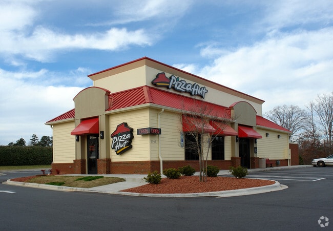
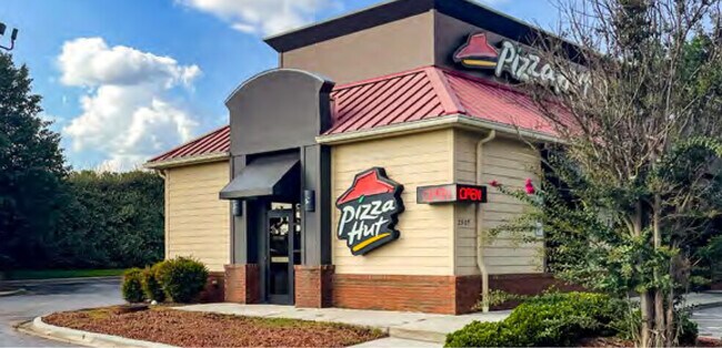
Property Record
2907 16Th St Ne, Hickory, NC 28601

NEARBY LISTINGS FOR SALE OR LEASE
Property Detail
2907 16Th St Ne
Hickory-Lenoir-Morganton, NC
Cloyd E Flowers
3714196251700000
LOT 5 PLAT 35-188
Restaurantdrivein
Catawba
X
North Carolina
3710371400J
5
2024
0.94 AC
2025
Catawba County
010302
Charlotte
2,708 SF
DEMOGRAPHICS near 2907 16Th St Ne
1 Mile
3 Mile
5 Mile
2024 Total Population
7,386
38,596
72,737
2029 Population
7,750
40,257
75,696
Pop Growth 2024-2029
+ 4.93%
+ 4.30%
+ 4.07%
Average Age
42
41
41
2024 Total Households
3,406
16,141
29,885
HH Growth 2024-2029
+ 4.90%
+ 4.34%
+ 4.06%
Median Household Inc
$49,924
$58,926
$57,622
Avg Household Size
2.10
2.30
2.30
2024 Avg HH Vehicles
2.00
2.00
2.00
Median Home Value
$197,800
$212,233
$203,854
Median Year Built
1987
1981
1981
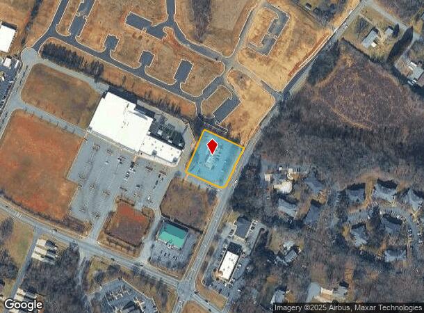
Nearby Places
Map Layers
Map Styles
 Street
 Aerial
- Restaurants
- Banks
- Shops
- Fitness
- Groceries
SALE & LEASE HISTORY
LISTING DATE
SALE/LEASE

Oct 14, 2022
For Sale
Nearby Properties
Address
Land Use
TOTAL SIZE
Lot Size
Zoning
Address
Land Use
TOTAL SIZE
Lot Size
Zoning
10,422 SF
4.23 AC
OI
Address
Land Use
TOTAL SIZE
Lot Size
Zoning
8,492 SF
15.83 AC
R-4
Address
Land Use
TOTAL SIZE
Lot Size
Zoning
16,594 SF
7.22 AC
PD
Address
Land Use
TOTAL SIZE
Lot Size
Zoning
19.87 AC
OI
Address
Land Use
TOTAL SIZE
Lot Size
Zoning
27,008 SF
12.02 AC
R-3
Address
Land Use
TOTAL SIZE
Lot Size
Zoning
27.56 AC
OI
Address
Land Use
TOTAL SIZE
Lot Size
Zoning
94,152 SF
14.46 AC
IND
Address
Land Use
TOTAL SIZE
Lot Size
Zoning
7,722 SF
10.01 AC
R-4
Address
Land Use
TOTAL SIZE
Lot Size
Zoning
17,175 SF
12.17 AC
PD
Address
Land Use
TOTAL SIZE
Lot Size
Zoning
57,658 SF
10.64 AC
OI
Address
Land Use
TOTAL SIZE
Lot Size
Zoning
8,436 SF
13.28 AC
R-4
Address
Land Use
TOTAL SIZE
Lot Size
Zoning
1,726 SF
15.93 AC
PD
Address
Land Use
TOTAL SIZE
Lot Size
Zoning
8,992 SF
11.66 AC
R-4
Address
Land Use
TOTAL SIZE
Lot Size
Zoning
42.11 AC
R-20
Address
Land Use
TOTAL SIZE
Lot Size
Zoning
8,960 SF
14.07 AC
R-4
Address
Land Use
TOTAL SIZE
Lot Size
Zoning
8,637 SF
5 AC
CC-1
Address
Land Use
TOTAL SIZE
Lot Size
Zoning
14.15 AC
OI
Address
Land Use
TOTAL SIZE
Lot Size
Zoning
22,319 SF
15.57 AC
CC-1
Address
Land Use
TOTAL SIZE
Lot Size
Zoning
60,130 SF
4.02 AC
IND
Address
Land Use
TOTAL SIZE
Lot Size
Zoning
8.36 AC
OI
Address
Land Use
TOTAL SIZE
Lot Size
Zoning
6,144 SF
11.37 AC
R-4
Address
Land Use
TOTAL SIZE
Lot Size
Zoning
15,164 SF
8.29 AC
PD
Address
Land Use
TOTAL SIZE
Lot Size
Zoning
27,426 SF
7.99 AC
PD
Address
Land Use
TOTAL SIZE
Lot Size
Zoning
7,742 SF
10.93 AC
PD
Address
Land Use
TOTAL SIZE
Lot Size
Zoning
137,227 SF
12.03 AC
NC
Address
Land Use
TOTAL SIZE
Lot Size
Zoning
22.99 AC
PD
Address
Land Use
TOTAL SIZE
Lot Size
Zoning
44,116 SF
6.33 AC
OI
Address
Land Use
TOTAL SIZE
Lot Size
Zoning
24,576 SF
9.15 AC
HC
Address
Land Use
TOTAL SIZE
Lot Size
Zoning
72,388 SF
7.57 AC
R-2
Address
Land Use
TOTAL SIZE
Lot Size
Zoning
20.34 AC
R-20
The World's #1 Commercial Real Estate Marketplace
Connect with us
© 2025 CoStar Group
The information above has been obtained from sources believed reliable. While we do not doubt its accuracy we have not verified it and make no guarantee, warranty or representation about it. It is your responsibility to independently confirm its accuracy and completeness. Any projections, opinions, assumptions, or estimates used are for example only and do not represent the current or future performance of the property. The value of this transaction to you depends on tax and other factors which should be evaluated by your tax, financial, and legal advisors. You and your advisors should conduct a careful, independent investigation of the property to determine to your satisfaction the suitability of the property for your needs.