Property Record
290D Bridgton Rd, Westbrook, ME 04092
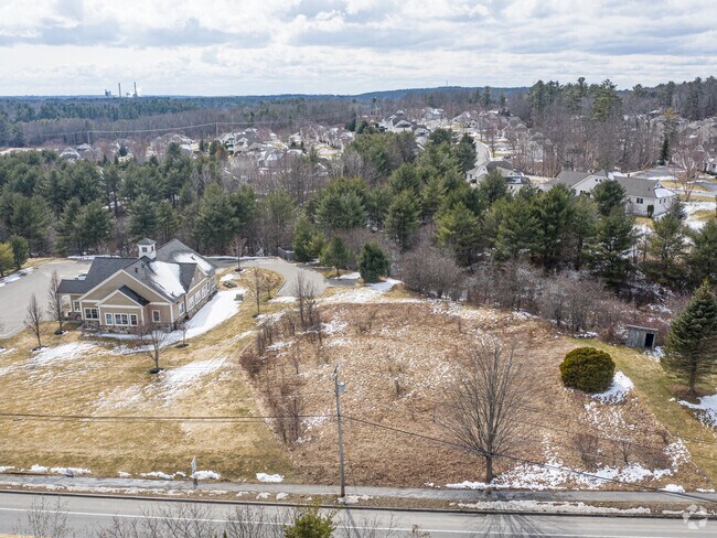


Property Detail
290D Bridgton Rd
WSBR-000058-000000-000001D
CUMBERLAND
Commercialnec
Maine
18
1-d
B and X Area of moderate flood hazard, usually the area between the limits of the 100-year and 500-year floods.
1.95 AC
2023
NE Cumberland County
2023
Portland/South Portland
002600
Portland-South Portland, ME
8,748 SF
NEARBY LISTINGS FOR SALE OR LEASE
DEMOGRAPHICS near 290D Bridgton Rd
1 mile
3 mile
5 mile
2025 Total Population
3,054
35,352
86,515
2030 Population
3,043
35,493
87,326
Pop Growth 2025-2030
(0.36%)
+ 0.40%
+ 0.94%
Average Age
41
42
41
2025 Total Households
1,208
15,041
37,918
HH Growth 2025-2030
(0.17%)
+ 0.53%
+ 1.06%
Median Household Inc
$108,618
$100,731
$95,490
Avg Household Size
2.40
2.30
2.20
2025 Avg HH Vehicles
2.00
2.00
2.00
Median Home Value
$413,437
$438,889
$467,303
Median Year Built
1974
1969
1961
Nearby Places
Map Layers
Map Styles
 Street
 Aerial
Transit
 Traffic
 Biking
Places
Listings with unknown addresses are not visible on the map
- Restaurants
- Banks
- Shops
- Fitness
- Groceries
PUBLIC TRANSPORTATION
COMMUTER RAIL
Drive
Walk
Distance
10 min
5.4 mi
AIRPORT
Portland International Jetport
Drive
Walk
Distance
Portland International Jetport
14 min
6.2 mi
Freight Ports
Portland, ME
Drive
Walk
Distance
Portland, ME
11 min
6.3 mi
SALE & LEASE HISTORY
LISTING DATE
SALE/LEASE

Mar 26, 2020
For Sale
Aug 31, 2021
For Sale
The World's #1 Commercial Real Estate Marketplace
Connect with us
© 2026 CoStar Group
The information above has been obtained from sources believed reliable. While we do not doubt its accuracy we have not verified it and make no guarantee, warranty or representation about it. It is your responsibility to independently confirm its accuracy and completeness. Any projections, opinions, assumptions, or estimates used are for example only and do not represent the current or future performance of the property. The value of this transaction to you depends on tax and other factors which should be evaluated by your tax, financial, and legal advisors. You and your advisors should conduct a careful, independent investigation of the property to determine to your satisfaction the suitability of the property for your needs.