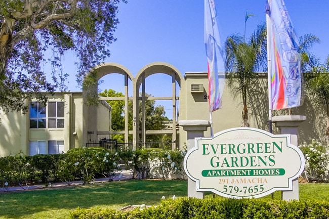
Property Record
291 Jamacha Rd, El Cajon, CA 92019


Property Detail
291 Jamacha Rd
511-170-43
BLK 13 LOT 15 DOC72-115829 IN ST CLSD ADJ&IN TR 000355
Multifamilydwelling
San Diego
RM-2200
California
B and X Area of moderate flood hazard, usually the area between the limits of the 100-year and 500-year floods.
15
2024
2.28 AC
2025
El Cajon
015601
San Diego
48,356 SF
San Diego-Chula Vista-Carlsbad, CA
NEARBY LISTINGS FOR SALE OR LEASE
DEMOGRAPHICS near 291 Jamacha Rd
1 mile
3 mile
5 mile
2025 Total Population
33,871
144,353
280,578
2030 Population
33,993
144,198
280,267
Pop Growth 2025-2030
+ 0.36%
(0.11%)
(0.11%)
Average Age
38
39
40
2025 Total Households
11,212
47,757
96,762
HH Growth 2025-2030
+ 0.19%
(0.28%)
(0.30%)
Median Household Inc
$62,273
$79,169
$93,069
Avg Household Size
2.90
2.90
2.80
2025 Avg HH Vehicles
2.00
2.00
2.00
Median Home Value
$589,269
$720,686
$736,622
Median Year Built
1974
1975
1975
Nearby Places
Map Layers
Map Styles
 Street
 Aerial
Layers
 Traffic
 Biking
Places
Listings with unknown addresses are not visible on the map
- Restaurants
- Banks
- Shops
- Fitness
- Groceries
PUBLIC TRANSPORTATION
AIRPORT
San Diego International
Drive
Walk
Distance
San Diego International
27 min
19.3 mi
Freight Ports
Port of San Diego
Drive
Walk
Distance
Port of San Diego
25 min
18.1 mi
SALE & LEASE HISTORY
LISTING DATE
SALE/LEASE

Sep 18, 2018
For Sale
Apr 25, 2018
For Sale
Nearby Properties
Address
Land Use
TOTAL SIZE
Lot Size
Zoning
Address
Land Use
TOTAL SIZE
Lot Size
Zoning
8.24 AC
RU
Address
Land Use
TOTAL SIZE
Lot Size
Zoning
7.46 AC
RM-2200
Address
Land Use
TOTAL SIZE
Lot Size
Zoning
5.90 AC
RM-2200
Address
Land Use
TOTAL SIZE
Lot Size
Zoning
39.17 AC
C-R
Address
Land Use
TOTAL SIZE
Lot Size
Zoning
8.82 AC
RM-2200
Address
Land Use
TOTAL SIZE
Lot Size
Zoning
6.12 AC
RM-2200
Address
Land Use
TOTAL SIZE
Lot Size
Zoning
5.83 AC
RM-2200
Address
Land Use
TOTAL SIZE
Lot Size
Zoning
9.38 AC
RU
Address
Land Use
TOTAL SIZE
Lot Size
Zoning
5.77 AC
RM-2200
Address
Land Use
TOTAL SIZE
Lot Size
Zoning
64,900 SF
4.55 AC
RM-2200
Address
Land Use
TOTAL SIZE
Lot Size
Zoning
4.39 AC
RM-2200
Address
Land Use
TOTAL SIZE
Lot Size
Zoning
4.69 AC
RU
Address
Land Use
TOTAL SIZE
Lot Size
Zoning
81,896 SF
3.74 AC
RM-2200
Address
Land Use
TOTAL SIZE
Lot Size
Zoning
95,024 SF
2.89 AC
RM-2200
Address
Land Use
TOTAL SIZE
Lot Size
Zoning
3.51 AC
RM-2200
Address
Land Use
TOTAL SIZE
Lot Size
Zoning
77,930 SF
2.34 AC
O-P
Address
Land Use
TOTAL SIZE
Lot Size
Zoning
16.33 AC
C-R
Address
Land Use
TOTAL SIZE
Lot Size
Zoning
1.89 AC
C-R
Address
Land Use
TOTAL SIZE
Lot Size
Zoning
86,578 SF
4.26 AC
M
Address
Land Use
TOTAL SIZE
Lot Size
Zoning
8.81 AC
C-R
Address
Land Use
TOTAL SIZE
Lot Size
Zoning
82,752 SF
4.24 AC
RM-2200
Address
Land Use
TOTAL SIZE
Lot Size
Zoning
70,656 SF
2.67 AC
RM-2200
Address
Land Use
TOTAL SIZE
Lot Size
Zoning
4.76 AC
RM-1450
Address
Land Use
TOTAL SIZE
Lot Size
Zoning
74,882 SF
3.45 AC
RU
Address
Land Use
TOTAL SIZE
Lot Size
Zoning
15.71 AC
RV
Address
Land Use
TOTAL SIZE
Lot Size
Zoning
10.82 AC
M
Address
Land Use
TOTAL SIZE
Lot Size
Zoning
67,722 SF
3.57 AC
RM-2500
Address
Land Use
TOTAL SIZE
Lot Size
Zoning
2,736 SF
32.31 AC
RS-20
Address
Land Use
TOTAL SIZE
Lot Size
Zoning
5.78 AC
RM-2200
Address
Land Use
TOTAL SIZE
Lot Size
Zoning
77,650 SF
1.90 AC
C-R
The World's #1 Commercial Real Estate Marketplace
Connect with us
© 2026 CoStar Group
The information above has been obtained from sources believed reliable. While we do not doubt its accuracy we have not verified it and make no guarantee, warranty or representation about it. It is your responsibility to independently confirm its accuracy and completeness. Any projections, opinions, assumptions, or estimates used are for example only and do not represent the current or future performance of the property. The value of this transaction to you depends on tax and other factors which should be evaluated by your tax, financial, and legal advisors. You and your advisors should conduct a careful, independent investigation of the property to determine to your satisfaction the suitability of the property for your needs.