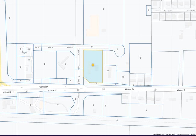
Property Record
291 Yost Dr, Dayton, IN 47941

NEARBY LISTINGS FOR SALE OR LEASE
Property Detail
291 Yost Dr
Lafayette-West Lafayette, IN
Shorter Commercial Sd
79-12-05-451-017.000-013
SHORTER COMMERCIAL SD SEC 1 LOT 3
Storebuilding
Tippecanoe
X
Indiana
18157C0260D
3
2024
2 AC
2024
Lafayette/Kokomo
010902
Other Market Areas
2,654 SF
DEMOGRAPHICS near 291 Yost Dr
1 Mile
3 Mile
5 Mile
2024 Total Population
1,236
6,312
34,735
2029 Population
1,244
6,430
35,642
Pop Growth 2024-2029
+ 0.65%
+ 1.87%
+ 2.61%
Average Age
39
39
38
2024 Total Households
475
2,444
14,227
HH Growth 2024-2029
+ 0.84%
+ 1.92%
+ 2.76%
Median Household Inc
$48,124
$75,087
$63,477
Avg Household Size
2.60
2.60
2.40
2024 Avg HH Vehicles
2.00
2.00
2.00
Median Home Value
$185,881
$214,812
$206,179
Median Year Built
1993
1998
1993
Nearby Places
Map Layers
Map Styles
 Street
 Aerial
- Restaurants
- Banks
- Shops
- Fitness
- Groceries
PUBLIC TRANSPORTATION
COMMUTER RAIL
Lafayette Amtrak Station (Cardinal - Amtrak)
DRIVE
WALK
Distance
Lafayette Amtrak Station (Cardinal - Amtrak)
14 min
8.2 mi
Freight Ports
Port Milwaukee
DRIVE
WALK
Distance
Port Milwaukee
252 min
210.7 mi
Nearby Properties
Address
Land Use
TOTAL SIZE
Lot Size
Zoning
Address
Land Use
TOTAL SIZE
Lot Size
Zoning
2,199,963 SF
0.06 AC
Address
Land Use
TOTAL SIZE
Lot Size
Zoning
122,338 SF
0.01 AC
Address
Land Use
TOTAL SIZE
Lot Size
Zoning
507,320 SF
0.01 AC
Address
Land Use
TOTAL SIZE
Lot Size
Zoning
689,020 SF
0.01 AC
Address
Land Use
TOTAL SIZE
Lot Size
Zoning
298,050 SF
50.91 AC
Address
Land Use
TOTAL SIZE
Lot Size
Zoning
357,301 SF
45.62 AC
Address
Land Use
TOTAL SIZE
Lot Size
Zoning
316,008 SF
27.04 AC
Address
Land Use
TOTAL SIZE
Lot Size
Zoning
263,826 SF
174 SF
Address
Land Use
TOTAL SIZE
Lot Size
Zoning
500,000 SF
174 SF
Address
Land Use
TOTAL SIZE
Lot Size
Zoning
160,572 SF
19.25 AC
Address
Land Use
TOTAL SIZE
Lot Size
Zoning
154,040 SF
44 SF
Address
Land Use
TOTAL SIZE
Lot Size
Zoning
11.73 AC
Address
Land Use
TOTAL SIZE
Lot Size
Zoning
152,835 SF
10.04 AC
Address
Land Use
TOTAL SIZE
Lot Size
Zoning
117,000 SF
44 SF
Address
Land Use
TOTAL SIZE
Lot Size
Zoning
175,740 SF
87 SF
Address
Land Use
TOTAL SIZE
Lot Size
Zoning
102,786 SF
12.94 AC
Address
Land Use
TOTAL SIZE
Lot Size
Zoning
54,935 SF
131 SF
Address
Land Use
TOTAL SIZE
Lot Size
Zoning
120,000 SF
44 SF
Address
Land Use
TOTAL SIZE
Lot Size
Zoning
46,574 SF
62.56 AC
Address
Land Use
TOTAL SIZE
Lot Size
Zoning
68,600 SF
12.20 AC
Address
Land Use
TOTAL SIZE
Lot Size
Zoning
36,926 SF
0.01 AC
Address
Land Use
TOTAL SIZE
Lot Size
Zoning
20,832 SF
87 SF
Address
Land Use
TOTAL SIZE
Lot Size
Zoning
72,870 SF
4.41 AC
Address
Land Use
TOTAL SIZE
Lot Size
Zoning
64,480 SF
3.75 AC
Address
Land Use
TOTAL SIZE
Lot Size
Zoning
42,551 SF
5.41 AC
Address
Land Use
TOTAL SIZE
Lot Size
Zoning
64,252 SF
4.96 AC
Address
Land Use
TOTAL SIZE
Lot Size
Zoning
43,156 SF
44 SF
Address
Land Use
TOTAL SIZE
Lot Size
Zoning
Address
Land Use
TOTAL SIZE
Lot Size
Zoning
48,670 SF
8 AC
Address
Land Use
TOTAL SIZE
Lot Size
Zoning
The World's #1 Commercial Real Estate Marketplace
Connect with us
© 2026 CoStar Group
The information above has been obtained from sources believed reliable. While we do not doubt its accuracy we have not verified it and make no guarantee, warranty or representation about it. It is your responsibility to independently confirm its accuracy and completeness. Any projections, opinions, assumptions, or estimates used are for example only and do not represent the current or future performance of the property. The value of this transaction to you depends on tax and other factors which should be evaluated by your tax, financial, and legal advisors. You and your advisors should conduct a careful, independent investigation of the property to determine to your satisfaction the suitability of the property for your needs.