Property Record
2912 W 3Rd St, Sioux Falls, SD 57104


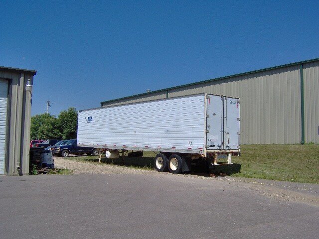
Property Detail
2912 W 3Rd St
34401
W100 E225 LOT 1 & ALL 3 BLOCK 25 HARRISONS ADDN TO CITY OF SIOUX FALLS
Warehouse
MINNEHAHA
FP;FP
South Dakota
2025
1
2025
0.62 AC
000202
Other Market Areas
10,000 SF
Sioux Falls, SD-MN
NEARBY LISTINGS FOR SALE OR LEASE
DEMOGRAPHICS near 2912 W 3Rd St
1 mile
3 mile
5 mile
2025 Total Population
4,380
66,570
154,836
2030 Population
4,599
70,012
163,310
Pop Growth 2025-2030
+ 5.00%
+ 5.17%
+ 5.47%
Average Age
38
38
38
2025 Total Households
2,180
28,372
64,423
HH Growth 2025-2030
+ 5.55%
+ 5.75%
+ 5.95%
Median Household Inc
$50,110
$62,861
$67,750
Avg Household Size
1.90
2.20
2.30
2025 Avg HH Vehicles
2.00
2.00
2.00
Median Home Value
$172,151
$240,941
$273,749
Median Year Built
1971
1976
1988
Nearby Places
Map Layers
Map Styles
 Street
 Aerial
Layers
 Traffic
 Biking
Places
Listings with unknown addresses are not visible on the map
- Restaurants
- Banks
- Shops
- Fitness
- Groceries
PUBLIC TRANSPORTATION
AIRPORT
Joe Foss Field
Drive
Walk
Distance
Joe Foss Field
19 min
4.1 mi
Freight Ports
Port Milwaukee
Drive
Walk
Distance
Port Milwaukee
551 min
507.1 mi
SALE & LEASE HISTORY
LISTING DATE
SALE/LEASE

Oct 14, 2019
For Lease
Nearby Properties
Address
Land Use
TOTAL SIZE
Lot Size
Zoning
Address
Land Use
TOTAL SIZE
Lot Size
Zoning
3,217 SF
10.40 AC
NO;SPECIAL
Address
Land Use
TOTAL SIZE
Lot Size
Zoning
80,415 SF
13.13 AC
Address
Land Use
TOTAL SIZE
Lot Size
Zoning
Address
Land Use
TOTAL SIZE
Lot Size
Zoning
8.90 AC
C1;NEIGHBO
Address
Land Use
TOTAL SIZE
Lot Size
Zoning
179,266 SF
1.32 AC
FP;FP
Address
Land Use
TOTAL SIZE
Lot Size
Zoning
Address
Land Use
TOTAL SIZE
Lot Size
Zoning
201,639 SF
2.30 AC
FP;FP
Address
Land Use
TOTAL SIZE
Lot Size
Zoning
9.41 AC
Address
Land Use
TOTAL SIZE
Lot Size
Zoning
14,820 SF
80.57 AC
FP;FP
Address
Land Use
TOTAL SIZE
Lot Size
Zoning
5,725 SF
77.41 AC
Address
Land Use
TOTAL SIZE
Lot Size
Zoning
15,704 SF
5.13 AC
Address
Land Use
TOTAL SIZE
Lot Size
Zoning
317,992 SF
27 AC
Address
Land Use
TOTAL SIZE
Lot Size
Zoning
3.07 AC
FP;FP
Address
Land Use
TOTAL SIZE
Lot Size
Zoning
1.20 AC
FP;FP
Address
Land Use
TOTAL SIZE
Lot Size
Zoning
51,004 SF
3.99 AC
Address
Land Use
TOTAL SIZE
Lot Size
Zoning
140,816 SF
13.80 AC
Address
Land Use
TOTAL SIZE
Lot Size
Zoning
1.57 AC
C2;GENERAL
Address
Land Use
TOTAL SIZE
Lot Size
Zoning
201,028 SF
5.42 AC
FP;FP
Address
Land Use
TOTAL SIZE
Lot Size
Zoning
149,610 SF
0.97 AC
Address
Land Use
TOTAL SIZE
Lot Size
Zoning
Address
Land Use
TOTAL SIZE
Lot Size
Zoning
172,212 SF
15.89 AC
Address
Land Use
TOTAL SIZE
Lot Size
Zoning
77,853 SF
10.42 AC
Address
Land Use
TOTAL SIZE
Lot Size
Zoning
36,986 SF
8.49 AC
FP;FP
Address
Land Use
TOTAL SIZE
Lot Size
Zoning
99,834 SF
6.58 AC
Address
Land Use
TOTAL SIZE
Lot Size
Zoning
3,254 SF
2.13 AC
Address
Land Use
TOTAL SIZE
Lot Size
Zoning
100,053 SF
8.50 AC
FP;FP
Address
Land Use
TOTAL SIZE
Lot Size
Zoning
205,572 SF
22.50 AC
Address
Land Use
TOTAL SIZE
Lot Size
Zoning
35,688 SF
8.27 AC
FP;FP
Address
Land Use
TOTAL SIZE
Lot Size
Zoning
1.66 AC
FP;FP
The World's #1 Commercial Real Estate Marketplace
Connect with us
© 2026 CoStar Group
The information above has been obtained from sources believed reliable. While we do not doubt its accuracy we have not verified it and make no guarantee, warranty or representation about it. It is your responsibility to independently confirm its accuracy and completeness. Any projections, opinions, assumptions, or estimates used are for example only and do not represent the current or future performance of the property. The value of this transaction to you depends on tax and other factors which should be evaluated by your tax, financial, and legal advisors. You and your advisors should conduct a careful, independent investigation of the property to determine to your satisfaction the suitability of the property for your needs.