Property Record
29122 Capshaw Rd, Harvest, AL 35749


Property Detail
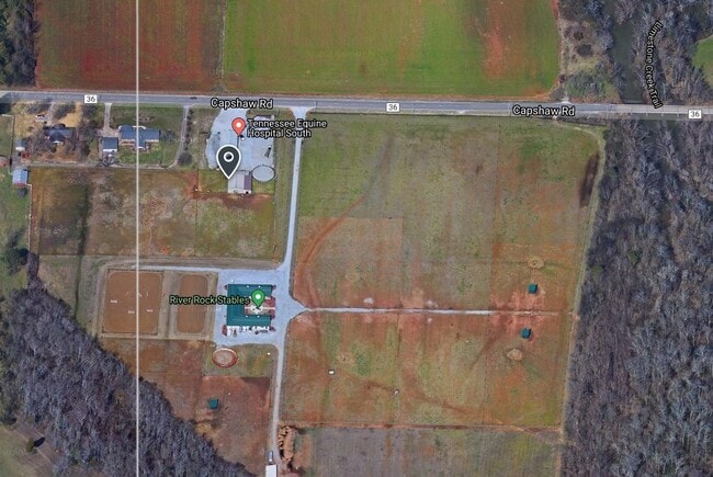
29122 Capshaw Rd
09-06-24-0-000-006.002
BEG AT NW COR OF SEC 24 TH E871 TO POB CONT E 180 S 484 W 180 N484 POB
Animalhospitalvet
Limestone
AE The base floodplain where base flood elevations are provided. AE Zones are now used on new format FIRMs instead of A1-A30 Zones.
Alabama
2025
2 AC
2025
Outlying Limestone County
020803
Huntsville
2,480 SF
Huntsville, AL
NEARBY LISTINGS FOR SALE OR LEASE
DEMOGRAPHICS near 29122 Capshaw Rd
1 mile
3 mile
5 mile
2025 Total Population
2,244
29,351
83,257
2030 Population
2,499
32,451
90,997
Pop Growth 2025-2030
+ 11.36%
+ 10.56%
+ 9.30%
Average Age
39
40
39
2025 Total Households
872
10,861
30,357
HH Growth 2025-2030
+ 11.70%
+ 10.96%
+ 9.65%
Median Household Inc
$101,606
$110,061
$115,831
Avg Household Size
2.50
2.60
2.70
2025 Avg HH Vehicles
2.00
2.00
2.00
Median Home Value
$287,868
$324,746
$355,277
Median Year Built
2009
2005
2003
Nearby Places
Map Layers
Map Styles
 Street
 Aerial
Layers
 Traffic
 Biking
Places
Listings with unknown addresses are not visible on the map
- Restaurants
- Banks
- Shops
- Fitness
- Groceries
PUBLIC TRANSPORTATION
AIRPORT
Huntsville International-Carl T Jones Field
Drive
Walk
Distance
Huntsville International-Carl T Jones Field
25 min
12.4 mi
Nearby Properties
Address
Land Use
TOTAL SIZE
Lot Size
Zoning
Address
Land Use
TOTAL SIZE
Lot Size
Zoning
7,055 SF
19 AC
Address
Land Use
TOTAL SIZE
Lot Size
Zoning
3,746 SF
22.08 AC
Address
Land Use
TOTAL SIZE
Lot Size
Zoning
2,774 SF
16 AC
Address
Land Use
TOTAL SIZE
Lot Size
Zoning
49,380 SF
6.18 AC
Address
Land Use
TOTAL SIZE
Lot Size
Zoning
86,280 SF
18.90 AC
Address
Land Use
TOTAL SIZE
Lot Size
Zoning
22,171 SF
Address
Land Use
TOTAL SIZE
Lot Size
Zoning
178,255 SF
19.39 AC
Address
Land Use
TOTAL SIZE
Lot Size
Zoning
28.40 AC
Address
Land Use
TOTAL SIZE
Lot Size
Zoning
Address
Land Use
TOTAL SIZE
Lot Size
Zoning
48,200 SF
4.05 AC
Address
Land Use
TOTAL SIZE
Lot Size
Zoning
10,160 SF
3.13 AC
Address
Land Use
TOTAL SIZE
Lot Size
Zoning
6,170 SF
3.98 AC
Address
Land Use
TOTAL SIZE
Lot Size
Zoning
11,159 SF
23.19 AC
Address
Land Use
TOTAL SIZE
Lot Size
Zoning
1,140 SF
11 AC
Address
Land Use
TOTAL SIZE
Lot Size
Zoning
1,554 SF
7.63 AC
Address
Land Use
TOTAL SIZE
Lot Size
Zoning
13,685 SF
2.38 AC
Address
Land Use
TOTAL SIZE
Lot Size
Zoning
19,490 SF
2.98 AC
Address
Land Use
TOTAL SIZE
Lot Size
Zoning
11,100 SF
9.51 AC
Address
Land Use
TOTAL SIZE
Lot Size
Zoning
25,387 SF
Address
Land Use
TOTAL SIZE
Lot Size
Zoning
1,680 SF
22 AC
Address
Land Use
TOTAL SIZE
Lot Size
Zoning
5,904 SF
1.85 AC
Address
Land Use
TOTAL SIZE
Lot Size
Zoning
15.62 AC
Address
Land Use
TOTAL SIZE
Lot Size
Zoning
3.40 AC
Address
Land Use
TOTAL SIZE
Lot Size
Zoning
35,561 SF
43 AC
Address
Land Use
TOTAL SIZE
Lot Size
Zoning
Address
Land Use
TOTAL SIZE
Lot Size
Zoning
15,030 SF
3.95 AC
Address
Land Use
TOTAL SIZE
Lot Size
Zoning
20,463 SF
4.50 AC
Address
Land Use
TOTAL SIZE
Lot Size
Zoning
2,846 SF
Address
Land Use
TOTAL SIZE
Lot Size
Zoning
2,846 SF
Address
Land Use
TOTAL SIZE
Lot Size
Zoning
8,370 SF
1.56 AC
The World's #1 Commercial Real Estate Marketplace
Connect with us
© 2026 CoStar Group
The information above has been obtained from sources believed reliable. While we do not doubt its accuracy we have not verified it and make no guarantee, warranty or representation about it. It is your responsibility to independently confirm its accuracy and completeness. Any projections, opinions, assumptions, or estimates used are for example only and do not represent the current or future performance of the property. The value of this transaction to you depends on tax and other factors which should be evaluated by your tax, financial, and legal advisors. You and your advisors should conduct a careful, independent investigation of the property to determine to your satisfaction the suitability of the property for your needs.