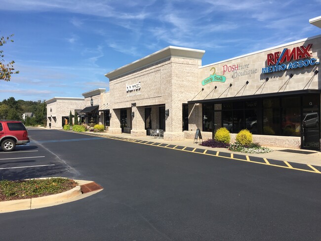
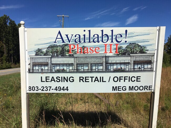
Property Record
2914 Dreher Shoals Rd, Columbia, SC 29212
NEARBY LISTINGS FOR SALE OR LEASE
Property Detail
2914 Dreher Shoals Rd
Columbia, SC
Irmo Whiterock Ballentine
03201-02-02
LOT B 261.9X158X299.6X126.1X56.8 #SU #PR 1950-2725
Commercialnec
Richland
X
South Carolina
45063C0126J
b
2025
2.47 AC
2024
Dutch Fork/Irmo
001100
Columbia
11,265 SF
DEMOGRAPHICS near 2914 Dreher Shoals Rd
1 Mile
3 Mile
5 Mile
2024 Total Population
4,752
30,823
71,999
2029 Population
4,956
32,239
74,689
Pop Growth 2024-2029
+ 4.29%
+ 4.59%
+ 3.74%
Average Age
41
41
41
2024 Total Households
1,866
12,327
28,603
HH Growth 2024-2029
+ 4.34%
+ 4.91%
+ 3.96%
Median Household Inc
$92,432
$88,897
$85,899
Avg Household Size
2.50
2.50
2.50
2024 Avg HH Vehicles
2.00
2.00
2.00
Median Home Value
$284,096
$228,885
$229,532
Median Year Built
1992
1990
1992
Nearby Places
Map Layers
Map Styles
 Street
 Aerial
- Restaurants
- Banks
- Shops
- Fitness
- Groceries
PUBLIC TRANSPORTATION
AIRPORT
Columbia Metro
DRIVE
WALK
Distance
Columbia Metro
38 min
21.7 mi
Freight Ports
North Charleston Terminal
DRIVE
WALK
Distance
North Charleston Terminal
137 min
118.0 mi
SALE & LEASE HISTORY
LISTING DATE
SALE/LEASE

Sep 25, 2016
For Lease
Oct 22, 2018
For Lease
May 20, 2020
For Lease
Jul 27, 2018
For Lease
Nearby Properties
Address
Land Use
TOTAL SIZE
Lot Size
Zoning
Address
Land Use
TOTAL SIZE
Lot Size
Zoning
3,957 SF
20.32 AC
GC
Address
Land Use
TOTAL SIZE
Lot Size
Zoning
333,986 SF
11.33 AC
GC
Address
Land Use
TOTAL SIZE
Lot Size
Zoning
191,009 SF
28.02 AC
CG
Address
Land Use
TOTAL SIZE
Lot Size
Zoning
81,197 SF
10.34 AC
C-3
Address
Land Use
TOTAL SIZE
Lot Size
Zoning
153,210 SF
31.78 AC
LM
Address
Land Use
TOTAL SIZE
Lot Size
Zoning
75,358 SF
13.84 AC
M-1
Address
Land Use
TOTAL SIZE
Lot Size
Zoning
8,358 SF
9.12 AC
CG
Address
Land Use
TOTAL SIZE
Lot Size
Zoning
21,580 SF
16.15 AC
GC
Address
Land Use
TOTAL SIZE
Lot Size
Zoning
85,201 SF
48.22 AC
CG
Address
Land Use
TOTAL SIZE
Lot Size
Zoning
76,066 SF
7.29 AC
M-1
Address
Land Use
TOTAL SIZE
Lot Size
Zoning
56,958 SF
6.21 AC
CG
Address
Land Use
TOTAL SIZE
Lot Size
Zoning
9.83 AC
CG
Address
Land Use
TOTAL SIZE
Lot Size
Zoning
56,588 SF
6.46 AC
GC
Address
Land Use
TOTAL SIZE
Lot Size
Zoning
15,205 SF
2.05 AC
C-3
Address
Land Use
TOTAL SIZE
Lot Size
Zoning
31,032 SF
7.36 AC
GC
Address
Land Use
TOTAL SIZE
Lot Size
Zoning
8.57 AC
CG
Address
Land Use
TOTAL SIZE
Lot Size
Zoning
11,917 SF
5.72 AC
RU
Address
Land Use
TOTAL SIZE
Lot Size
Zoning
14,370 SF
6.84 AC
RU
Address
Land Use
TOTAL SIZE
Lot Size
Zoning
14,400 SF
2.31 AC
CN
Address
Land Use
TOTAL SIZE
Lot Size
Zoning
24,049 SF
5.13 AC
CG
Address
Land Use
TOTAL SIZE
Lot Size
Zoning
24,049 SF
4.30 AC
CG
Address
Land Use
TOTAL SIZE
Lot Size
Zoning
23,439 SF
7.68 AC
RU
Address
Land Use
TOTAL SIZE
Lot Size
Zoning
15,252 SF
5.70 AC
RS-LD
Address
Land Use
TOTAL SIZE
Lot Size
Zoning
44,330 SF
2.30 AC
LM
Address
Land Use
TOTAL SIZE
Lot Size
Zoning
17,805 SF
23.60 AC
RS
Address
Land Use
TOTAL SIZE
Lot Size
Zoning
4.20 AC
RU
Address
Land Use
TOTAL SIZE
Lot Size
Zoning
10,953 SF
1.20 AC
GC
Address
Land Use
TOTAL SIZE
Lot Size
Zoning
10 AC
PDD
Address
Land Use
TOTAL SIZE
Lot Size
Zoning
12,098 SF
2.40 AC
CG
The World's #1 Commercial Real Estate Marketplace
Connect with us
© 2026 CoStar Group
The information above has been obtained from sources believed reliable. While we do not doubt its accuracy we have not verified it and make no guarantee, warranty or representation about it. It is your responsibility to independently confirm its accuracy and completeness. Any projections, opinions, assumptions, or estimates used are for example only and do not represent the current or future performance of the property. The value of this transaction to you depends on tax and other factors which should be evaluated by your tax, financial, and legal advisors. You and your advisors should conduct a careful, independent investigation of the property to determine to your satisfaction the suitability of the property for your needs.