Property Record
2930 Grove Neck Rd, Earleville, MD 21919

Property Detail
2930 Grove Neck Rd
01-027689
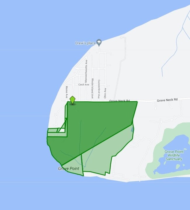
5.58 ACRES 2930 GROVE NECK ROAD S OF EARLEVILLE
Taxexempt
CECIL
SAR
Maryland
AE The base floodplain where base flood elevations are provided. AE Zones are now used on new format FIRMs instead of A1-A30 Zones.
100 AC
2024
Cecil County
2025
Baltimore
030100
Philadelphia-Camden-Wilmington, PA-NJ-DE-MD
NEARBY LISTINGS FOR SALE OR LEASE
-
-
View all Earleville listings for sale on LoopNet.com
DEMOGRAPHICS near 2930 Grove Neck Rd
1 mile
3 mile
5 mile
2025 Total Population
572
1,310
3,975
2030 Population
615
1,394
4,305
Pop Growth 2025-2030
+ 7.52%
+ 6.41%
+ 8.30%
Average Age
47
48
48
2025 Total Households
230
555
1,695
HH Growth 2025-2030
+ 7.39%
+ 6.49%
+ 8.38%
Median Household Inc
$148,896
$121,785
$122,252
Avg Household Size
2.30
2.20
2.30
2025 Avg HH Vehicles
2.00
2.00
2.00
Median Home Value
$347,500
$368,666
$415,030
Median Year Built
1982
1980
1975
Nearby Places
Map Layers
Map Styles
 Street
 Aerial
Layers
 Traffic
 Biking
Places
Listings with unknown addresses are not visible on the map
- Restaurants
- Banks
- Shops
- Fitness
- Groceries
Nearby Properties
Address
Land Use
TOTAL SIZE
Lot Size
Zoning
Address
Land Use
TOTAL SIZE
Lot Size
Zoning
990 AC
AZD
Address
Land Use
TOTAL SIZE
Lot Size
Zoning
951 SF
4.79 AC
C-1
Address
Land Use
TOTAL SIZE
Lot Size
Zoning
672 SF
15.08 AC
RCDR2
Address
Land Use
TOTAL SIZE
Lot Size
Zoning
105.48 AC
OS
Address
Land Use
TOTAL SIZE
Lot Size
Zoning
250 AC
SAR
Address
Land Use
TOTAL SIZE
Lot Size
Zoning
19,829 SF
2.06 AC
B-1
Address
Land Use
TOTAL SIZE
Lot Size
Zoning
1,860 SF
191 AC
RCDAZ
Address
Land Use
TOTAL SIZE
Lot Size
Zoning
3,330 SF
0.46 AC
RR
Address
Land Use
TOTAL SIZE
Lot Size
Zoning
1,988 SF
72.33 AC
SAR
Address
Land Use
TOTAL SIZE
Lot Size
Zoning
5,800 SF
1.54 AC
Address
Land Use
TOTAL SIZE
Lot Size
Zoning
5.58 AC
RR
Address
Land Use
TOTAL SIZE
Lot Size
Zoning
5,384 SF
0.28 AC
R-3
Address
Land Use
TOTAL SIZE
Lot Size
Zoning
7,200 SF
0.34 AC
Address
Land Use
TOTAL SIZE
Lot Size
Zoning
330 SF
4 AC
Address
Land Use
TOTAL SIZE
Lot Size
Zoning
1,918 SF
0.51 AC
R-3
Address
Land Use
TOTAL SIZE
Lot Size
Zoning
6,826 SF
0.60 AC
R-3
Address
Land Use
TOTAL SIZE
Lot Size
Zoning
51.91 AC
SAR
Address
Land Use
TOTAL SIZE
Lot Size
Zoning
1.25 AC
RR
Address
Land Use
TOTAL SIZE
Lot Size
Zoning
1.22 AC
RR
Address
Land Use
TOTAL SIZE
Lot Size
Zoning
3,380 SF
0.68 AC
Address
Land Use
TOTAL SIZE
Lot Size
Zoning
5.30 AC
RR
Address
Land Use
TOTAL SIZE
Lot Size
Zoning
1,680 SF
0.37 AC
C-1
Address
Land Use
TOTAL SIZE
Lot Size
Zoning
0.82 AC
C-1
Address
Land Use
TOTAL SIZE
Lot Size
Zoning
1,628 SF
0.46 AC
RR
Address
Land Use
TOTAL SIZE
Lot Size
Zoning
5,483 SF
1.24 AC
RR
Address
Land Use
TOTAL SIZE
Lot Size
Zoning
780 SF
0.30 AC
Address
Land Use
TOTAL SIZE
Lot Size
Zoning
3,684 SF
0.25 AC
R-3
Address
Land Use
TOTAL SIZE
Lot Size
Zoning
2.37 AC
AZDRC
Address
Land Use
TOTAL SIZE
Lot Size
Zoning
2.33 AC
AZDRC
The World's #1 Commercial Real Estate Marketplace
Connect with us
© 2026 CoStar Group
The information above has been obtained from sources believed reliable. While we do not doubt its accuracy we have not verified it and make no guarantee, warranty or representation about it. It is your responsibility to independently confirm its accuracy and completeness. Any projections, opinions, assumptions, or estimates used are for example only and do not represent the current or future performance of the property. The value of this transaction to you depends on tax and other factors which should be evaluated by your tax, financial, and legal advisors. You and your advisors should conduct a careful, independent investigation of the property to determine to your satisfaction the suitability of the property for your needs.