Property Record
294 Browns Valley Rd, Watsonville, CA 95076


NEARBY LISTINGS FOR SALE OR LEASE
-
-
View all Watsonville listings for sale on LoopNet.com
Property Detail
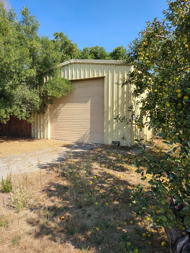
294 Browns Valley Rd
107-181-38-000
Corralitos Rho
Orchard
Santa Cruz
X
California
06087C0381E
12.96 AC
2024
Outlying Santa Cruz Cnty
2025
Santa Cruz/Watsonville
122401
Santa Cruz-Watsonville, CA
6,662 SF
DEMOGRAPHICS near 294 Browns Valley Rd
1 Mile
3 Mile
5 Mile
2024 Total Population
1,128
8,001
32,968
2029 Population
1,053
7,588
31,685
Pop Growth 2024-2029
(6.65%)
(5.16%)
(3.89%)
Average Age
46
43
39
2024 Total Households
413
2,543
9,615
HH Growth 2024-2029
(7.26%)
(5.98%)
(4.48%)
Median Household Inc
$127,344
$117,438
$96,939
Avg Household Size
2.60
3.00
3.20
2024 Avg HH Vehicles
3.00
3.00
3.00
Median Home Value
$1,060,938
$939,354
$795,274
Median Year Built
1971
1973
1973
Nearby Places
Map Layers
Map Styles
 Street
 Aerial
- Restaurants
- Banks
- Shops
- Fitness
- Groceries
PUBLIC TRANSPORTATION
AIRPORT
Monterey Regional
DRIVE
WALK
Distance
Monterey Regional
47 min
34.6 mi
Norman Y Mineta San Jose International
DRIVE
WALK
Distance
Norman Y Mineta San Jose International
61 min
45.0 mi
Freight Ports
Port of Redwood City
DRIVE
WALK
Distance
Port of Redwood City
81 min
60.8 mi
SALE & LEASE HISTORY
LISTING DATE
SALE/LEASE

Jun 01, 2020
For Sale
Nearby Properties
Address
Land Use
TOTAL SIZE
Lot Size
Zoning
Address
Land Use
TOTAL SIZE
Lot Size
Zoning
23,677 SF
67.25 AC
PF
Address
Land Use
TOTAL SIZE
Lot Size
Zoning
1,898 SF
51.55 AC
CA
Address
Land Use
TOTAL SIZE
Lot Size
Zoning
31,914 SF
29.21 AC
CA
Address
Land Use
TOTAL SIZE
Lot Size
Zoning
14,132 SF
43 AC
RA
Address
Land Use
TOTAL SIZE
Lot Size
Zoning
7,859 SF
24.43 AC
CA
Address
Land Use
TOTAL SIZE
Lot Size
Zoning
9,439 SF
45.06 AC
SU
Address
Land Use
TOTAL SIZE
Lot Size
Zoning
8,111 SF
18.83 AC
CA
Address
Land Use
TOTAL SIZE
Lot Size
Zoning
9,407 SF
40.22 AC
SU
Address
Land Use
TOTAL SIZE
Lot Size
Zoning
8,571 SF
54.67 AC
CA-P
Address
Land Use
TOTAL SIZE
Lot Size
Zoning
5,961 SF
18.68 AC
CA
Address
Land Use
TOTAL SIZE
Lot Size
Zoning
6,261 SF
1.92 AC
C-1
Address
Land Use
TOTAL SIZE
Lot Size
Zoning
34.15 AC
CA
Address
Land Use
TOTAL SIZE
Lot Size
Zoning
3,916 SF
131.12 AC
CA
Address
Land Use
TOTAL SIZE
Lot Size
Zoning
27,396 SF
55.83 AC
SU
Address
Land Use
TOTAL SIZE
Lot Size
Zoning
39,306 SF
77.89 AC
CA-P
Address
Land Use
TOTAL SIZE
Lot Size
Zoning
576 SF
71.71 AC
CA
Address
Land Use
TOTAL SIZE
Lot Size
Zoning
2,112 SF
54.84 AC
CA
Address
Land Use
TOTAL SIZE
Lot Size
Zoning
9,229 SF
9.79 AC
RA
Address
Land Use
TOTAL SIZE
Lot Size
Zoning
474 SF
13.20 AC
CA
Address
Land Use
TOTAL SIZE
Lot Size
Zoning
5,534 SF
25.15 AC
CA
Address
Land Use
TOTAL SIZE
Lot Size
Zoning
4,280 SF
1.75 AC
RA
Address
Land Use
TOTAL SIZE
Lot Size
Zoning
13,687 SF
16.97 AC
A
Address
Land Use
TOTAL SIZE
Lot Size
Zoning
1,504 SF
54.48 AC
CA
Address
Land Use
TOTAL SIZE
Lot Size
Zoning
2,668 SF
64.58 AC
CA
Address
Land Use
TOTAL SIZE
Lot Size
Zoning
9,345 SF
56.22 AC
CA
Address
Land Use
TOTAL SIZE
Lot Size
Zoning
8,720 SF
31.93 AC
A
Address
Land Use
TOTAL SIZE
Lot Size
Zoning
7,288 SF
2.82 AC
RA
Address
Land Use
TOTAL SIZE
Lot Size
Zoning
5,090 SF
47.22 AC
A-P
Address
Land Use
TOTAL SIZE
Lot Size
Zoning
4,533 SF
5.50 AC
SU
Address
Land Use
TOTAL SIZE
Lot Size
Zoning
8,549 SF
2.50 AC
A
The World's #1 Commercial Real Estate Marketplace
Connect with us
© 2025 CoStar Group
The information above has been obtained from sources believed reliable. While we do not doubt its accuracy we have not verified it and make no guarantee, warranty or representation about it. It is your responsibility to independently confirm its accuracy and completeness. Any projections, opinions, assumptions, or estimates used are for example only and do not represent the current or future performance of the property. The value of this transaction to you depends on tax and other factors which should be evaluated by your tax, financial, and legal advisors. You and your advisors should conduct a careful, independent investigation of the property to determine to your satisfaction the suitability of the property for your needs.