Property Record
2940 11Th St, Rock Island, IL 61201


NEARBY LISTINGS FOR SALE OR LEASE
Property Detail
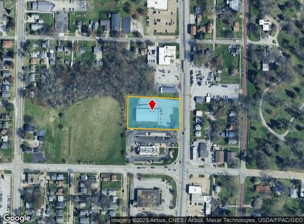
2940 11Th St
Davenport-Moline-Rock Island, IA-IL
First Add
16-11-120-001
LOT 1 RI-DOLLAR FIRST ADD SHT 18
Commercialnec
Rock Island
X
Illinois
19163C0500F
1
2024
1.31 AC
2024
Greater Rock Island
023700
Davenport/Moline/Rock Island
9,170 SF
DEMOGRAPHICS near 2940 11Th St
1 Mile
3 Mile
5 Mile
2024 Total Population
7,566
46,885
124,610
2029 Population
7,391
46,073
122,819
Pop Growth 2024-2029
(2.31%)
(1.73%)
(1.44%)
Average Age
42
40
39
2024 Total Households
3,404
19,892
52,484
HH Growth 2024-2029
(2.35%)
(1.75%)
(1.45%)
Median Household Inc
$48,312
$50,049
$51,893
Avg Household Size
2.20
2.20
2.20
2024 Avg HH Vehicles
1.00
2.00
2.00
Median Home Value
$99,637
$101,494
$123,210
Median Year Built
1950
1949
1949
Nearby Places
Map Layers
Map Styles
 Street
 Aerial
- Restaurants
- Banks
- Shops
- Fitness
- Groceries
PUBLIC TRANSPORTATION
AIRPORT
Quad Cities International
DRIVE
WALK
Distance
Quad Cities International
14 min
7.2 mi
Freight Ports
Port Milwaukee
DRIVE
WALK
Distance
Port Milwaukee
244 min
211.0 mi
SALE & LEASE HISTORY
LISTING DATE
SALE/LEASE

Oct 06, 2022
For Sale
Jun 30, 2022
For Sale
Nearby Properties
Address
Land Use
TOTAL SIZE
Lot Size
Zoning
Address
Land Use
TOTAL SIZE
Lot Size
Zoning
3,500 SF
1.54 AC
Address
Land Use
TOTAL SIZE
Lot Size
Zoning
227,249 SF
38.78 AC
RI
Address
Land Use
TOTAL SIZE
Lot Size
Zoning
76,853 SF
0.56 AC
Address
Land Use
TOTAL SIZE
Lot Size
Zoning
104,415 SF
5.89 AC
Address
Land Use
TOTAL SIZE
Lot Size
Zoning
153,329 SF
2.35 AC
Address
Land Use
TOTAL SIZE
Lot Size
Zoning
72,554 SF
0.38 AC
Address
Land Use
TOTAL SIZE
Lot Size
Zoning
10,724 SF
1.51 AC
Address
Land Use
TOTAL SIZE
Lot Size
Zoning
32,725 SF
0.99 AC
Address
Land Use
TOTAL SIZE
Lot Size
Zoning
61,126 SF
1.57 AC
Address
Land Use
TOTAL SIZE
Lot Size
Zoning
3,283 SF
20 AC
Address
Land Use
TOTAL SIZE
Lot Size
Zoning
2,595,576 SF
185.35 AC
MIL
Address
Land Use
TOTAL SIZE
Lot Size
Zoning
133,712 SF
2.31 AC
Address
Land Use
TOTAL SIZE
Lot Size
Zoning
4.30 AC
RI
Address
Land Use
TOTAL SIZE
Lot Size
Zoning
7,200 SF
Address
Land Use
TOTAL SIZE
Lot Size
Zoning
14,947 SF
26.21 AC
Address
Land Use
TOTAL SIZE
Lot Size
Zoning
7.86 AC
Address
Land Use
TOTAL SIZE
Lot Size
Zoning
31,534 SF
1.10 AC
Address
Land Use
TOTAL SIZE
Lot Size
Zoning
72,228 SF
0.28 AC
Address
Land Use
TOTAL SIZE
Lot Size
Zoning
109,871 SF
7.89 AC
Address
Land Use
TOTAL SIZE
Lot Size
Zoning
19,088 SF
0.44 AC
Address
Land Use
TOTAL SIZE
Lot Size
Zoning
93,519 SF
0.66 AC
Address
Land Use
TOTAL SIZE
Lot Size
Zoning
194,375 SF
1.10 AC
Address
Land Use
TOTAL SIZE
Lot Size
Zoning
69,516 SF
0.90 AC
Address
Land Use
TOTAL SIZE
Lot Size
Zoning
42,812 SF
0.58 AC
Address
Land Use
TOTAL SIZE
Lot Size
Zoning
89,661 SF
0.29 AC
Address
Land Use
TOTAL SIZE
Lot Size
Zoning
11,566 SF
0.56 AC
Address
Land Use
TOTAL SIZE
Lot Size
Zoning
61,959 SF
0.44 AC
Address
Land Use
TOTAL SIZE
Lot Size
Zoning
92,801 SF
0.83 AC
Address
Land Use
TOTAL SIZE
Lot Size
Zoning
37,121 SF
2.35 AC
Address
Land Use
TOTAL SIZE
Lot Size
Zoning
152,176 SF
1.10 AC
The World's #1 Commercial Real Estate Marketplace
Connect with us
© 2025 CoStar Group
The information above has been obtained from sources believed reliable. While we do not doubt its accuracy we have not verified it and make no guarantee, warranty or representation about it. It is your responsibility to independently confirm its accuracy and completeness. Any projections, opinions, assumptions, or estimates used are for example only and do not represent the current or future performance of the property. The value of this transaction to you depends on tax and other factors which should be evaluated by your tax, financial, and legal advisors. You and your advisors should conduct a careful, independent investigation of the property to determine to your satisfaction the suitability of the property for your needs.