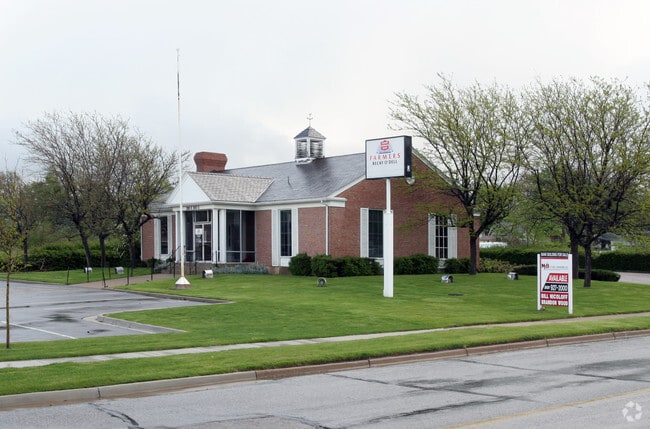
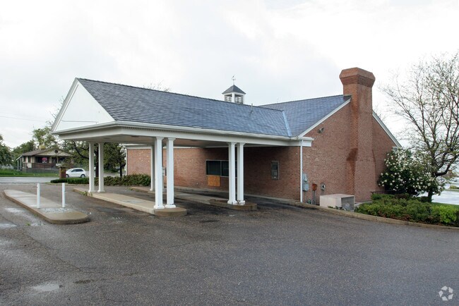
Property Record
295 E 200 S, Clearfield, UT 84015

Property Detail
295 E 200 S
12-001-0189
BEG AT A PT S 1562.8 FT & N 89^37' E 1127 FT & S 1000.8 FT & E 334.16 FT FR THE NW COR OF SEC 1-T4N-R2W, SLB&M; SD PT IS ON THE N LINE OF 200 SOUTH STR, 690.5 FT E OF INTERSECTION OF THE E LINE OF HWY
Privateschool
Davis
C2
Utah
B and X Area of moderate flood hazard, usually the area between the limits of the 100-year and 500-year floods.
0.52 AC
2025
Davis/Weber Counties
2025
Salt Lake City
125702
Ogden, UT
4,692 SF
NEARBY LISTINGS FOR SALE OR LEASE
DEMOGRAPHICS near 295 E 200 S
1 mile
3 mile
5 mile
2025 Total Population
15,658
101,074
230,182
2030 Population
17,035
106,035
239,616
Pop Growth 2025-2030
+ 8.79%
+ 4.91%
+ 4.10%
Average Age
31
33
34
2025 Total Households
5,313
31,885
72,030
HH Growth 2025-2030
+ 8.77%
+ 5.06%
+ 4.22%
Median Household Inc
$72,643
$91,783
$99,859
Avg Household Size
2.90
3.10
3.10
2025 Avg HH Vehicles
2.00
2.00
2.00
Median Home Value
$355,436
$438,830
$462,009
Median Year Built
1993
1995
1995
Nearby Places
Map Layers
Map Styles
 Street
 Aerial
Transit
 Traffic
 Biking
Places
Listings with unknown addresses are not visible on the map
- Restaurants
- Banks
- Shops
- Fitness
- Groceries
PUBLIC TRANSPORTATION
COMMUTER RAIL
Clearfield (FrontRunner North - Utah Transit Authority (UTA))
Drive
Walk
Distance
Clearfield (FrontRunner North - Utah Transit Authority (UTA))
5 min
1.8 mi
Layton (FrontRunner North - Utah Transit Authority (UTA))
Drive
Walk
Distance
Layton (FrontRunner North - Utah Transit Authority (UTA))
9 min
5.7 mi
AIRPORT
Salt Lake City International
Drive
Walk
Distance
Salt Lake City International
38 min
30.7 mi
Freight Ports
Port of Stockton
Drive
Walk
Distance
Port of Stockton
738 min
721.0 mi
Nearby Properties
Address
Land Use
TOTAL SIZE
Lot Size
Zoning
Address
Land Use
TOTAL SIZE
Lot Size
Zoning
399,630 SF
31.55 AC
I
Address
Land Use
TOTAL SIZE
Lot Size
Zoning
664,440 SF
37.07 AC
Address
Land Use
TOTAL SIZE
Lot Size
Zoning
151,064 SF
48.81 AC
Address
Land Use
TOTAL SIZE
Lot Size
Zoning
233,780 SF
14.77 AC
C-H
Address
Land Use
TOTAL SIZE
Lot Size
Zoning
17,930 SF
17.08 AC
RM1
Address
Land Use
TOTAL SIZE
Lot Size
Zoning
86,213 SF
12.27 AC
Address
Land Use
TOTAL SIZE
Lot Size
Zoning
123,824 SF
41.89 AC
M1
Address
Land Use
TOTAL SIZE
Lot Size
Zoning
125,164 SF
7.12 AC
Address
Land Use
TOTAL SIZE
Lot Size
Zoning
53,494 SF
8.08 AC
Address
Land Use
TOTAL SIZE
Lot Size
Zoning
3,830 SF
16.64 AC
R3
Address
Land Use
TOTAL SIZE
Lot Size
Zoning
6,840 SF
15.25 AC
RH
Address
Land Use
TOTAL SIZE
Lot Size
Zoning
348,048 SF
48.01 AC
A
Address
Land Use
TOTAL SIZE
Lot Size
Zoning
121,332 SF
44.40 AC
Address
Land Use
TOTAL SIZE
Lot Size
Zoning
79,285 SF
0.01 AC
BRP
Address
Land Use
TOTAL SIZE
Lot Size
Zoning
86,536 SF
8.75 AC
Address
Land Use
TOTAL SIZE
Lot Size
Zoning
123,445 SF
27.94 AC
M1
Address
Land Use
TOTAL SIZE
Lot Size
Zoning
27,763 SF
11.41 AC
Address
Land Use
TOTAL SIZE
Lot Size
Zoning
4,281 SF
16.55 AC
RM1
Address
Land Use
TOTAL SIZE
Lot Size
Zoning
75,946 SF
5.67 AC
CH
Address
Land Use
TOTAL SIZE
Lot Size
Zoning
638,065 SF
33.77 AC
M1
Address
Land Use
TOTAL SIZE
Lot Size
Zoning
182,344 SF
7.41 AC
CP-3
Address
Land Use
TOTAL SIZE
Lot Size
Zoning
91,750 SF
6.76 AC
C2
Address
Land Use
TOTAL SIZE
Lot Size
Zoning
107,628 SF
58.88 AC
A
Address
Land Use
TOTAL SIZE
Lot Size
Zoning
63,828 SF
5.30 AC
PF
Address
Land Use
TOTAL SIZE
Lot Size
Zoning
1,540 SF
11.52 AC
Address
Land Use
TOTAL SIZE
Lot Size
Zoning
453,129 SF
24.72 AC
M1
The World's #1 Commercial Real Estate Marketplace
Connect with us
© 2026 CoStar Group
The information above has been obtained from sources believed reliable. While we do not doubt its accuracy we have not verified it and make no guarantee, warranty or representation about it. It is your responsibility to independently confirm its accuracy and completeness. Any projections, opinions, assumptions, or estimates used are for example only and do not represent the current or future performance of the property. The value of this transaction to you depends on tax and other factors which should be evaluated by your tax, financial, and legal advisors. You and your advisors should conduct a careful, independent investigation of the property to determine to your satisfaction the suitability of the property for your needs.