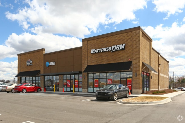
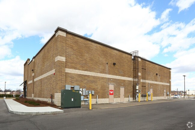
Property Record
29659 7 Mile Rd, Livonia, MI 48152

NEARBY LISTINGS FOR SALE OR LEASE
Property Detail
29659 7 Mile Rd
46-041-99-0007-004
PART OF NE 1/4 SEC 11 T1S R9E DESC AS COMM AT NE COR SEC 11 TH S 89D 52M 00S W 493.92 FT TH S 00D 03M 00S E 60.00 FT TH S 89D 52M 00S W 226.05 FT TO POB TH S 00D 03M 00S E 357.36 FT TH N 89D 57M 00S E 13.35 FT TH S 00D 03M 00S E 241.00 FT TH S 89D 52
Gymhealthspa
Wayne
X
Michigan
26163C0062E
0007
2025
4.47 AC
2025
Southern I-275 Corridor
556900
Detroit
37,030 SF
Detroit-Warren-Dearborn, MI
DEMOGRAPHICS near 29659 7 Mile Rd
1 Mile
3 Mile
5 Mile
2024 Total Population
8,515
86,968
221,582
2029 Population
8,122
84,009
214,868
Pop Growth 2024-2029
(4.62%)
(3.40%)
(3.03%)
Average Age
43
42
42
2024 Total Households
3,673
36,257
93,645
HH Growth 2024-2029
(4.66%)
(3.38%)
(3.03%)
Median Household Inc
$77,609
$73,660
$70,696
Avg Household Size
2.30
2.30
2.30
2024 Avg HH Vehicles
2.00
2.00
2.00
Median Home Value
$207,076
$202,176
$203,721
Median Year Built
1963
1960
1962
Nearby Places
Map Layers
Map Styles
 Street
 Aerial
- Restaurants
- Banks
- Shops
- Fitness
- Groceries
PUBLIC TRANSPORTATION
AIRPORT
Detroit Metro Wayne County
DRIVE
WALK
Distance
Detroit Metro Wayne County
35 min
17.7 mi
Windsor International
DRIVE
WALK
Distance
Windsor International
50 min
30.5 mi
SALE & LEASE HISTORY
LISTING DATE
SALE/LEASE

May 16, 2017
For Lease
Jan 15, 2019
For Sale
Nearby Properties
Address
Land Use
TOTAL SIZE
Lot Size
Zoning
Address
Land Use
TOTAL SIZE
Lot Size
Zoning
311,298 SF
31.66 AC
BI
Address
Land Use
TOTAL SIZE
Lot Size
Zoning
199,485 SF
10.31 AC
R-9
Address
Land Use
TOTAL SIZE
Lot Size
Zoning
204 SF
11.31 AC
RM
Address
Land Use
TOTAL SIZE
Lot Size
Zoning
192,755 SF
Address
Land Use
TOTAL SIZE
Lot Size
Zoning
137,490 SF
12.16 AC
C-2
Address
Land Use
TOTAL SIZE
Lot Size
Zoning
16.21 AC
R-7
Address
Land Use
TOTAL SIZE
Lot Size
Zoning
158,092 SF
11.75 AC
B-3
Address
Land Use
TOTAL SIZE
Lot Size
Zoning
164,964 SF
14.96 AC
R-7
Address
Land Use
TOTAL SIZE
Lot Size
Zoning
126,180 SF
11.62 AC
C-2
Address
Land Use
TOTAL SIZE
Lot Size
Zoning
152 SF
7.32 AC
RM
Address
Land Use
TOTAL SIZE
Lot Size
Zoning
225,520 SF
9.93 AC
PO
Address
Land Use
TOTAL SIZE
Lot Size
Zoning
138,104 SF
8.66 AC
AI
Address
Land Use
TOTAL SIZE
Lot Size
Zoning
2,025 SF
14.78 AC
R-7
Address
Land Use
TOTAL SIZE
Lot Size
Zoning
100,887 SF
5.34 AC
C-4
Address
Land Use
TOTAL SIZE
Lot Size
Zoning
192,038 SF
16.26 AC
C-2
Address
Land Use
TOTAL SIZE
Lot Size
Zoning
9.19 AC
R3
Address
Land Use
TOTAL SIZE
Lot Size
Zoning
115,270 SF
7.07 AC
AI
Address
Land Use
TOTAL SIZE
Lot Size
Zoning
101,249 SF
8.48 AC
AI
Address
Land Use
TOTAL SIZE
Lot Size
Zoning
80,093 SF
7.05 AC
C-2
Address
Land Use
TOTAL SIZE
Lot Size
Zoning
104 SF
8.93 AC
RM
Address
Land Use
TOTAL SIZE
Lot Size
Zoning
142,058 SF
10.02 AC
R-7
Address
Land Use
TOTAL SIZE
Lot Size
Zoning
86,830 SF
7.46 AC
C2
Address
Land Use
TOTAL SIZE
Lot Size
Zoning
89,152 SF
7.44 AC
R-9
Address
Land Use
TOTAL SIZE
Lot Size
Zoning
9.07 AC
R-7
Address
Land Use
TOTAL SIZE
Lot Size
Zoning
5.68 AC
R3
Address
Land Use
TOTAL SIZE
Lot Size
Zoning
133,729 SF
5.95 AC
I-1
Address
Land Use
TOTAL SIZE
Lot Size
Zoning
Address
Land Use
TOTAL SIZE
Lot Size
Zoning
123,696 SF
6.40 AC
PO
Address
Land Use
TOTAL SIZE
Lot Size
Zoning
188,514 SF
23.73 AC
M-1
Address
Land Use
TOTAL SIZE
Lot Size
Zoning
129,711 SF
10.28 AC
R-7
The World's #1 Commercial Real Estate Marketplace
Connect with us
© 2026 CoStar Group
The information above has been obtained from sources believed reliable. While we do not doubt its accuracy we have not verified it and make no guarantee, warranty or representation about it. It is your responsibility to independently confirm its accuracy and completeness. Any projections, opinions, assumptions, or estimates used are for example only and do not represent the current or future performance of the property. The value of this transaction to you depends on tax and other factors which should be evaluated by your tax, financial, and legal advisors. You and your advisors should conduct a careful, independent investigation of the property to determine to your satisfaction the suitability of the property for your needs.